
Directions
Fishermen’s Bend is located 29 miles east of Salem on Hwy 22, and 1.5 miles west of Mill City.
Phone
503-897-2406
Activities
BIKING, BOATING, CAMPING, INTERPRETIVE PROGRAMS, FISHING, HIKING, PICNICKING, VISITOR CENTER, WILDLIFE VIEWING
Keywords
FIBE,FISHERMEN S BEND REC SITE,FISHERMAN’S BEND
Related Link(s)
Overview
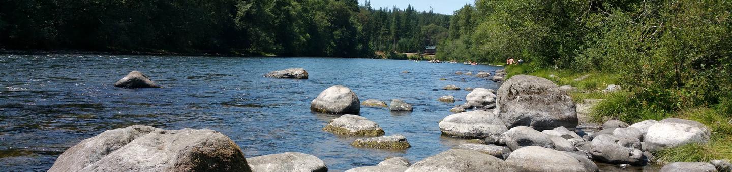
Nestled along a forested curve of the North Santiam River, Fishermen’s Bend site is popular with both families and large groups.
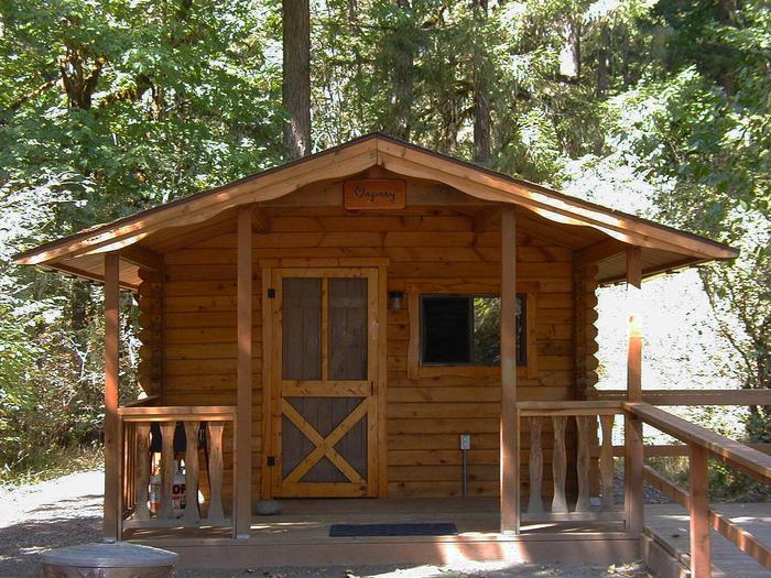
The area offers camping and picnicking facilities, rustic cabin rentals and river access trails. Fishing, boating, swimming and hiking opportunities abound.
Recreation
The North Santiam River is a great place to relax and cool down on a warm summer day. It offers excellent opportunities for canoeing, kayaking, rafting, fishing and swimming.
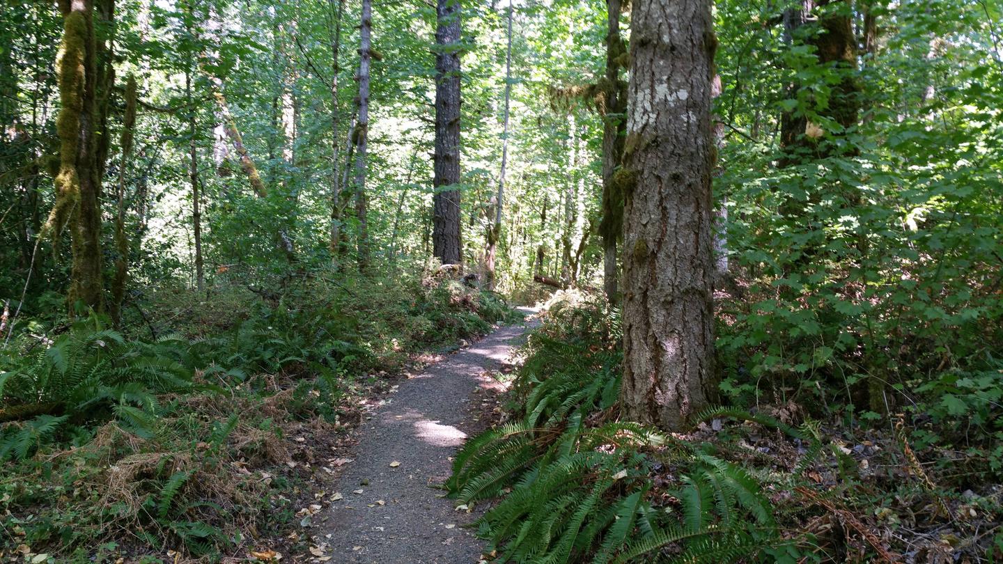
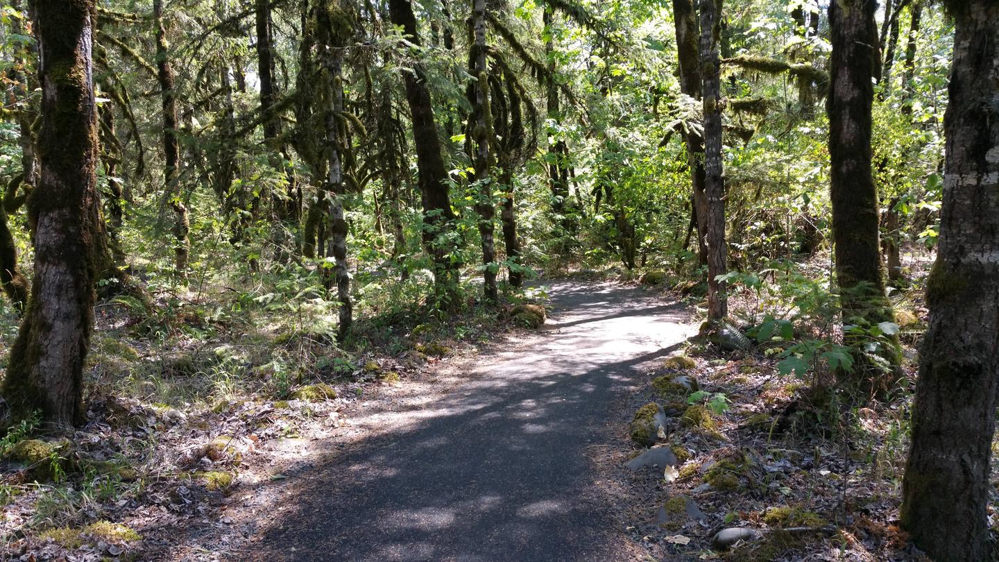
On land, visitors can take a leisurely stroll along a one-mile nature trail with views of the river and surrounding wetland habitats.
A playground, baseball field, horseshoe pits, and basketball and volleyball courts can be found within the park as well.
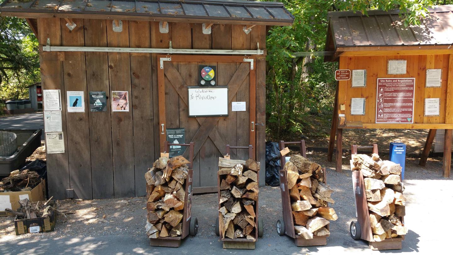
Facilities
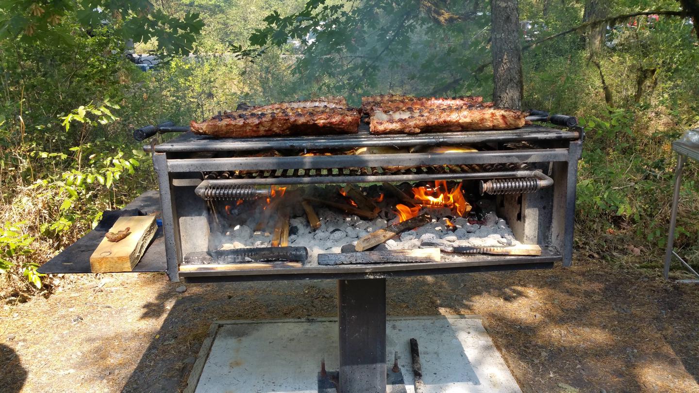
This popular campground’s sites all have electric and sewer hookups; some also have water hookups. Flush toilets, drinking water, picnic tables and fire rings are provided. Roads and parking spurs are paved.
Natural Features
The park covers 170 acres along the North Santiam River, where a shady mix of mature Douglas fir, hemlock, and cedars forest the region. Ferns, mosses and wildflowers cover the forest floor. Wetlands and beaver ponds can be found throughout.
Nearby Attractions
North Santiam State Park is next door, with more great water and hiking opportunities.
Scenic John Neal Memorial County Park is less than 15 minutes away.
Silver Falls State Park is 45 minutes from Fishermen’s Bend, with 10 majestic waterfalls, ranging from the grand 177′ South Falls, to the delicate 27′ Drake Falls.