

Directions
From Reno, take I-80 west to Hirschdale Exit. Go north approximately 3 miles then turn right and go 1 mile to the campground.
From Truckee, take I-80 east to Hirschdale exit. Turn left and travel approximately 3 miles then turn right and go 1 mile to the campground.
Phone
(530)587-3558. FOR RESERVATIONS, PLEASE CALL: 1 (877) 444-6777.
Activities
BIKING, BOATING, CAMPING, HIKING, HORSEBACK RIDING, OFF HIGHWAY VEHICLE TRAILS
Keywords
BOSP,TAHOE NF – FS
Related Link(s)
California State Road Conditions
Overview
Boca Spring Campground is located approximately one-mile east of Boca Reservoir, 20 minutes from Truckee, California. Visitors enjoy the area for its boating, swimming, fishing and abundant trail opportunities. This facility is operated and maintained by the Tahoe National Forest.
Recreation
Boca Reservoir is just a mile west of the campground. Boating, water skiing, swimming and fishing are popular activities. A boat ramp is located near Boca Campground on the southwest end of the reservoir. The Little Truckee River is nearby and offers some of Northern California’s best catch-and-release fly-fishing. The surrounding area offers hiking, biking, horseback riding and off-road vehicle trails. Boca Townsite Interpretive Trail showcases the boom and bust of the historic town of Boca as it transitioned from a construction camp for the Central Pacific Railroad to the Boca Mill and Ice Company and later to the Boca Brewery.
Facilities
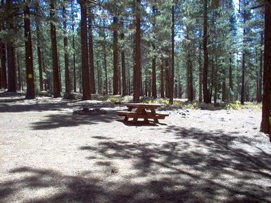
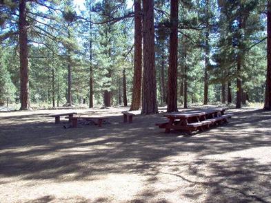
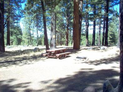
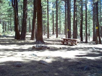
The campground offers single-family sites and one group site that can accommodate up to 25 people and eight vehicles. Picnic tables, campfire rings and grills are provided, as are vault toilets and drinking water.
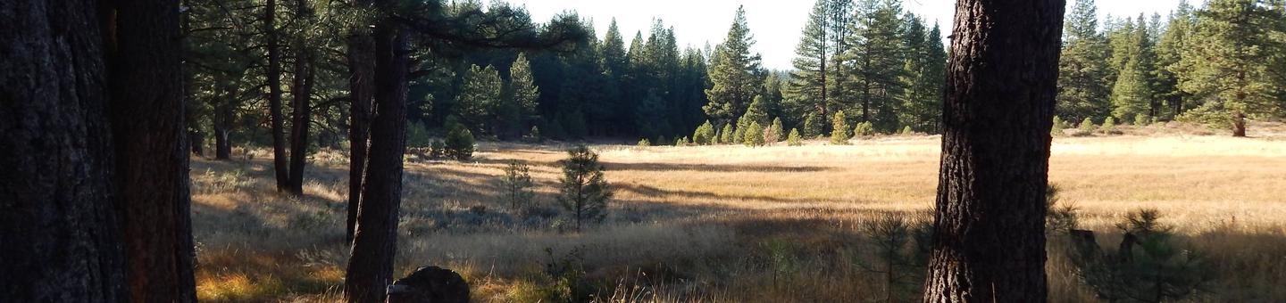
Natural Features
The campground is located within a heavily forested stand of towering pine and fir trees. Boca Spring feeds a pretty meadow adjacent to the campground.
Nearby Attractions
Stampede Reservoir is 9 miles north, where boating, water skiing, swimming and fishing are popular activities. Truckee, 20 minutes away, offers all the amenities of a year round recreational mountain town including interstate highway connectivity, top notch restaurants, resorts and hotels, grocery stores, gas stations, shopping, and historic sites. Other recreational opportunities include Donner Camp Interpretive Trail, Overland Emigrant Commemorative Trial, Stampede Reservoir Recreation Area, Prosser Pits OHV area, and numerous hiking, mountain biking, and OHV trails. Lake Tahoe is a convenient 35 minutes away. Tahoe offers excellent boating, kayaking, fishing, hiking and scenic driving opportunities, as well as dining, shopping and lodging options.