
Directions
From IH-35 take FM-306 West 23 miles to Potter’s Creek Road. Go south 2 miles to park entrance. From Highway 281, take FM-306 east 8 miles to Potter’s Creek Road. Go south for 2 miles to park entrance.
Phone
830-964-3341
Activities
CAMPING, FISHING, HIKING, WILDLIFE VIEWING, SWIMMING, EDUCATIONAL PROGRAMS
Keywords
POTC,CANYON LAKE,POTTERS CREEK PARK,POTTER S CREEK PARK,POTTER’S CREEK PARK,POTTER’S CREEK,POTTERS CREEK,POTTER S CREEK,POTTER’S PARK,POTTERS PARK,POTTER S PARK,POTTER’S,POTTERS,POTTER S,POTTERS CREEK CANYON LAKE,POTTER’S CREEK CANYON LAKE,POTTER S CREEK
Related Link(s)
Overview
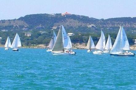
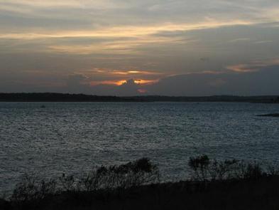
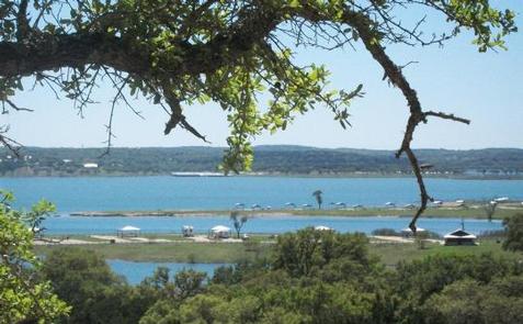
Potters Creek Park is situated on the northern shore of Canyon Lake in the rolling hill country of South Central Texas. Cool breezes off the lake create a pleasant environment for relaxing in this scenic area. The lake and Guadalupe River also provide great opportunities for boating, fishing and swimming.
Recreation
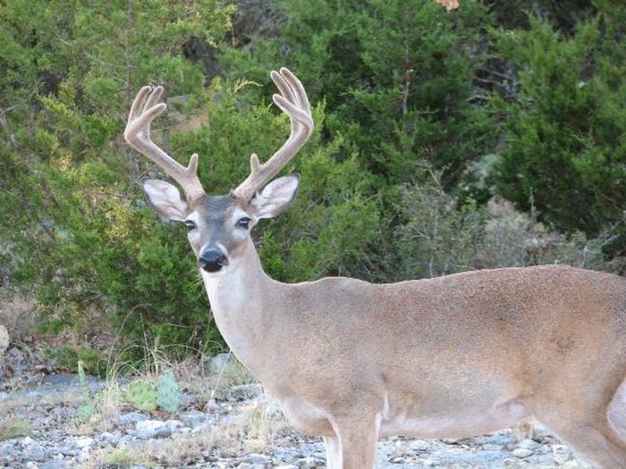
Visitors enjoy coming to Canyon Lake for boating, swimming and fishing. The Guadalupe River is a great location for canoeing, kayaking and tubing. Both the lake and river are stocked with a variety of fish for each habitat including various bass, catfish, or river trout. Hiking, biking, horseback riding, birding, and wildlife viewing are popular activities in the surrounding hills. Five trails are available at different locations around the lake. There is a mountain biking trail, a horse trail, and several foot trails. You can not rent any items from the park, but must bring your own gear for all recreational activities.
Facilities
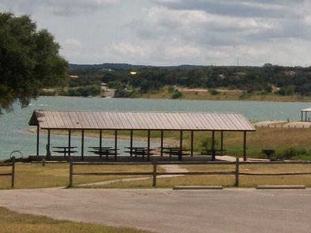
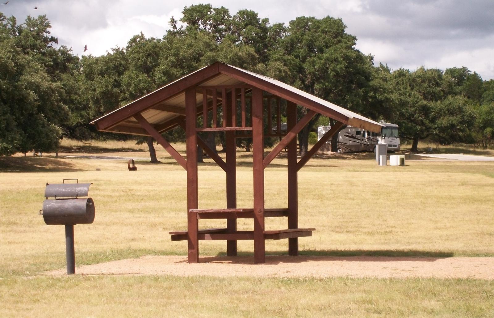
The park is open year-round and offers RV and tent sites as well as overnight screened shelters, and a group site, all with electric and water hookups. Every site has a picnic table, fire ring, and grill, water and electricity. Park Amenities include flush toilets, showers, drinking water, and two dump stations. The park also has two boat ramps with docks, a fishing pier and beach. Rangers patrol the park and hosts are on-site year-round.
Natural Features
The park is settled among Juniper and native Oaks on gently sloping terrain on the shore of Canyon Lake. Thick oak and juniper surround the upper campsites; sites closer to the waterfront are in full sun. Grassy fields of native hill country plants and wildflowers dot the landscape. Rocky outcroppings are scattered throughout the park.
Nearby Attractions
Canyon Lake is near many sites of interest including Natural Bridge Caverns and the historic town of Gruene in New Braunfels.
Charges & Cancellations
The reservation system has the right to charge you fees for shortening or extending your stay, or cancelling a reservation.