
Directions
From the intersection of US-24 and K-13 at the west end of the dam, turn east onto K-13, then immediately turn north onto Tuttle Cove Road and continue 3 miles to the campground entrance.
Phone
(785)539-6523
Activities
BIKING, BOATING, CAMPING, FISHING, HIKING, HUNTING, WILDLIFE VIEWING, SWIMMING SITE
Keywords
TTLE,TUTTLE CREEK LAKE
Related Link(s)
Overview
Tuttle Creek Cove Campground is a large, quiet oasis located on the shores of Tuttle Creek Lake in the wide open expanse of northeast Kansas.
Recreation
Tuttle Creek Lake’s 11 parks, marina, 10,900 acres of water and 20,000 acres of land provide ample opportunities for outdoor recreation activities. Boating, fishing and hiking top the list.
Power boaters on Tuttle Creek Lake will enjoy the lake’s large main body of water on calm days for water skiing and pleasure boating. Canoeists and kayakers will find River Pond below the dam a perfect place for paddling. The state park offers canoe, kayak, and paddleboat rentals.
Bald eagles, white-tailed deer, Canada geese, wild turkeys, crappie, walleye, channel catfish and other wildlife can be found at Tuttle Creek Lake. The lake’s fish and wildlife resources provide sightseers, anglers and hunters ample opportunities for their sports.
The lake also boasts miles of hiking, biking, off-road vehicle and equestrian trails. The Blue River Trail, a one mile long loop in Outlet Park, provides excellent views of wildlife in all seasons. Click here to learn about additional trails around the lake.
Facilities
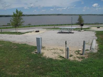
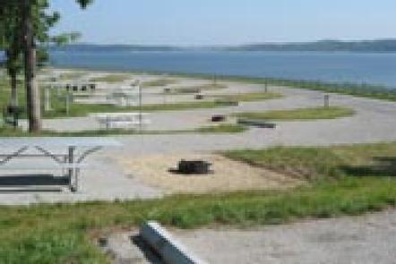
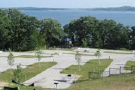
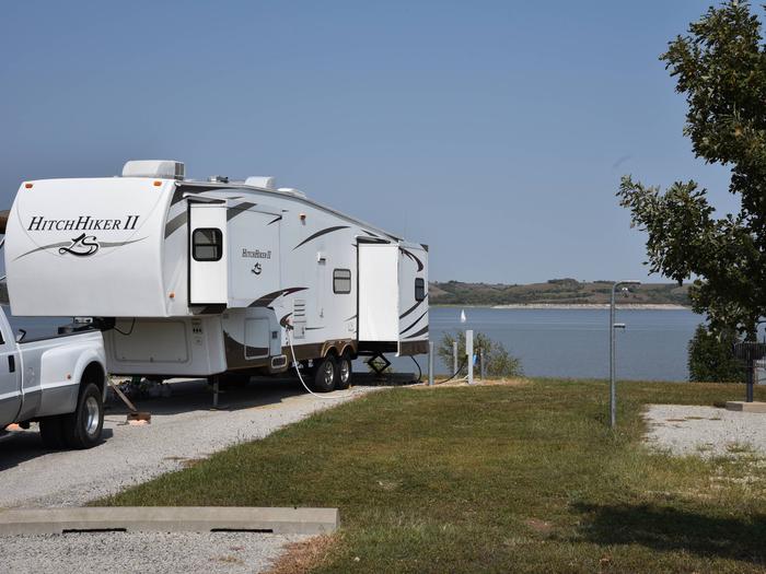
Tuttle Creek Cove Campground offers 56 compact campsites on a scenic lakeshore setting. Showers, flush toilets and other modern amenities are provided.
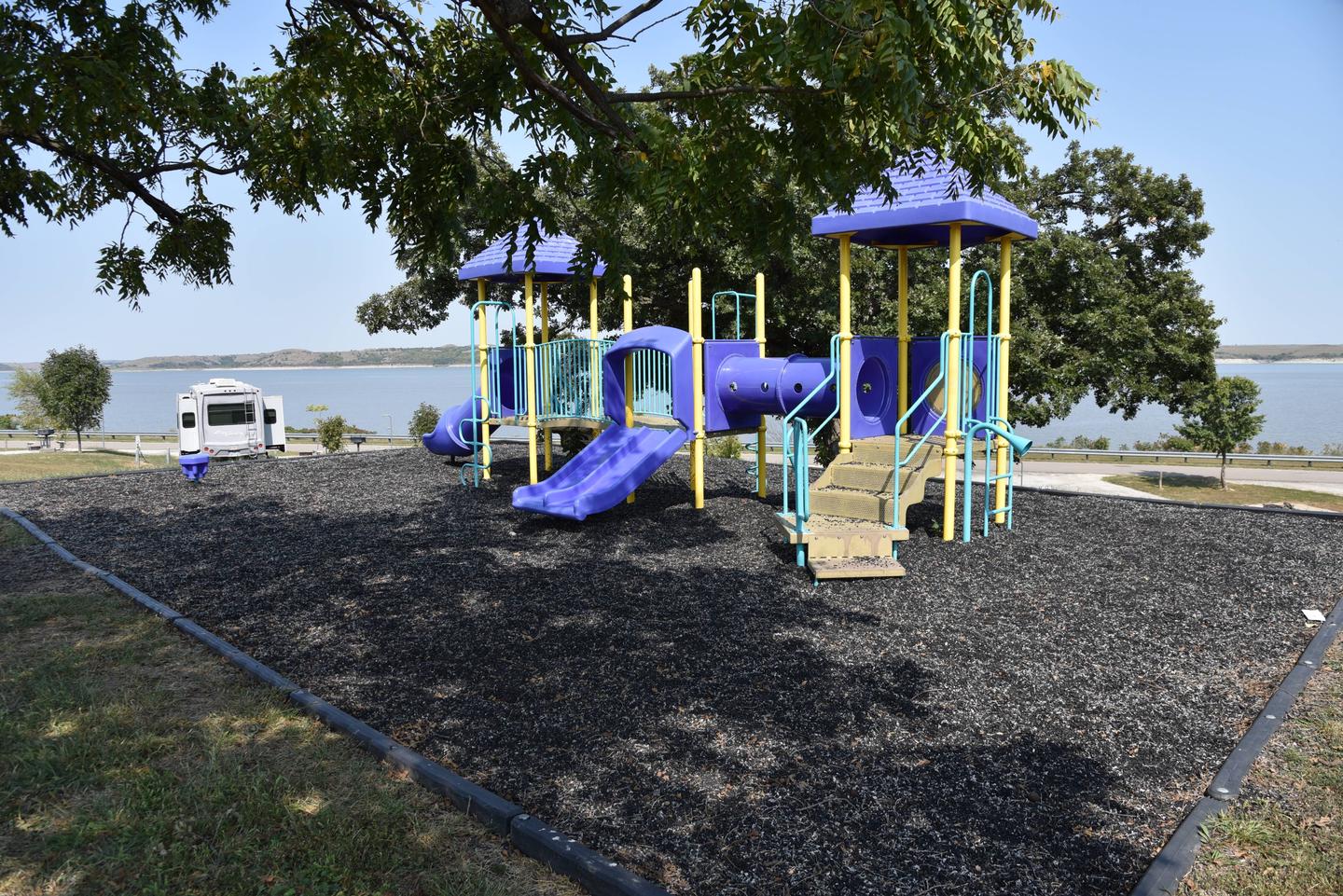
A swimming beach, playgrounds and picnic areas are also available, making the area ideal for family trips or parties.
39 sites offer water and 50 amp electric hookups.
Natural Features
Tuttle Creek Lake is situated in the northern portion of the Flint Hills, which are characterized by flat-topped hills with long, steep slopes, limestone rock outcrops and well-defined stream channels. The climate is typified by warm summers and moderately cold winters.
More than 2 million guests visit Tuttle Creek Lake each year to enjoy the endless recreational opportunities provided by the vast lake and surrounding landscape.
Nearby Attractions
Konza Prairie, Kansas State University, Fort Riley and the Prairie Parkway are all located a short drive from the campground.