

Directions
From Denver, travel north on Interstate 25 to U.S. Highway 36 West to Boulder. Continue on Colorado Highway 119 (Canyon Boulevard) for 22 miles to Nederland, then go north on Colorado Highway 72 to Ward. Turn left at the sign and travel 5 miles to Brainard Lake Recreation Area.
Phone
303-541-2500
Activities
BIKING, BOATING, CLIMBING, CAMPING, FISHING, HIKING, WINTER SPORTS, MOUNTAIN BIKING, CANOEING, ROCK CLIMBING, SNOWSHOEING, SKIING
Keywords
PAWN,BRAINARD LAKE CAMPGROUND,ARAPAHO AND ROOSEVELT NF – FS
Related Link(s)
Colorado State Road Conditions
Overview
Pawnee Campground is located in the Brainard Lake Recreation Area, off the Peak to Peak Scenic Byway, 35 miles south of Estes Park and the main entrance to the Rocky Mountain National Park. Visitors enjoy the area for its fishing, canoeing and hiking opportunities.
Recreation
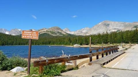
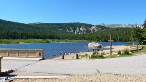
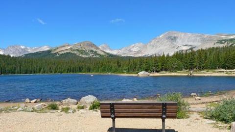
Brainard Lake is a popular destination for canoeing, kayaking and fishing. Anglers cast for rainbow, brown and cutthroat trout. Long Lake, Red Rock Lake and Left Hand Reservoir are nearby.
Several trails in the area provide access to the adjacent Indian Peaks Wilderness Area. Hiking is allowed on all trails; mountain biking is allowed outside the wilderness area. Rock climbing, snowshoeing and cross country skiing are often available, weather permitting.
Facilities
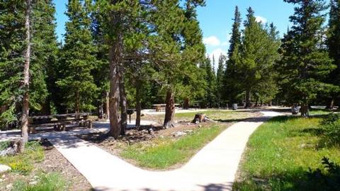
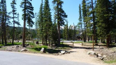
The campground offers several single-family campsites, each equipped with a picnic table and campfire ring. Vault toilets and drinking water are provided.
Natural Features
The campground lies at the foot of the Continental Divide, next to 25-acre Brainard Lake and the Indian Peaks Wilderness Area at an elevation of 10,350 feet. A scenic forest of spruce and fir trees covers the area. Summertime temperatures are warm in the day and cool at night. Afternoon thunderstorms are common.
Nearby Attractions
The town of Nederland is 14 miles south of the campground, offering grocery and hardware stores, restaurants, gas, a bank and a post office.
Rocky Mountain National Park’s main entrance is 35 miles north in Estes Park. With lush valleys and craggy peaks reaching elevations higher than 14,000 feet, visitors are provided opportunities for countless breathtaking experiences and adventures. Scenic driving, hiking, backpacking, fishing, horseback riding and wildlife viewing are popular activities in the park.
Estes Park is a full-service community. Dining, shopping, rafting, fly-fishing, horseback riding and golfing opportunities are available there. Lake Estes offers boating, sailboarding and fishing.