
Directions
From Eureka, Montana, take Highway 37 south 15 miles to the Koocanusa Bridge. At the west side of the bridge, turn right on Road 92 and proceed to Boulder Creek Road 337. Turn left and follow approximately 8 miles to Webb Mountain on Road 7179. At the ridge crest, turn left. The gate to the lookout is visible at this point.
The lookout is about 1 mile beyond the gate, and the last quarter mile is rough; vehicles with good clearance are recommended. Combination opens both the gate and cabin door.
Phone
406-296-2536
Activities
BOATING, CAMPING, FISHING, HIKING, HUNTING, WILDLIFE VIEWING, FIRE LOOKOUTS/CABINS OVERNIGHT
Keywords
WBMT,WEBB MTN LOOKOUT RENTAL,KOOTENAI NF – FS
Related Link(s)
Overview
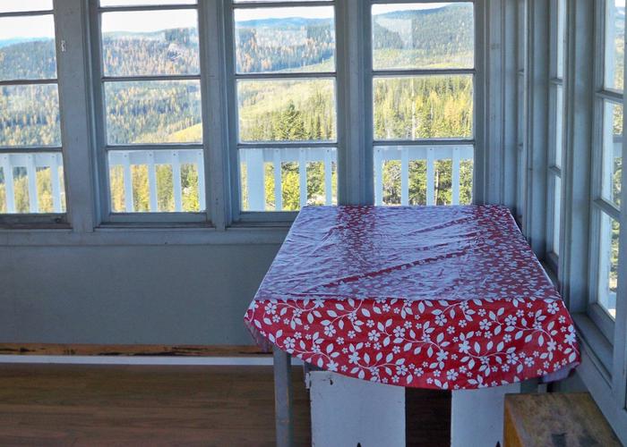
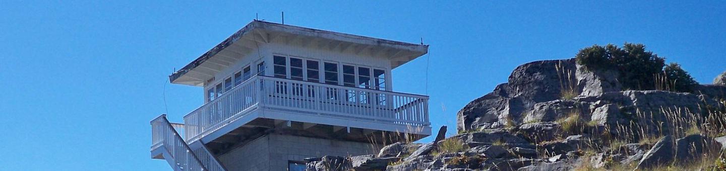
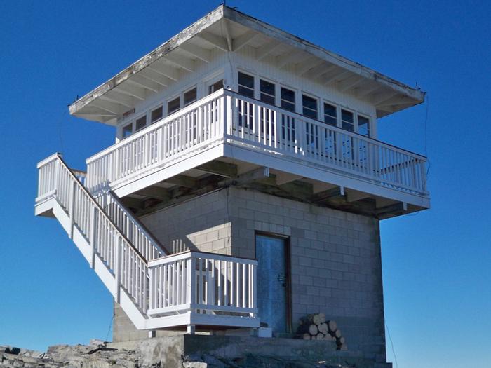
Webb Mountain Lookout is perched at 5,988 feet atop its namesake mountain in Kootenai National Forest. The lookout was built in 1959 and used as an observation point for fighting forest fires for over 40 years. The structure rests on a concrete block basement and encompasses 196 square feet.
The lookout is accessible by car and the roads are well maintained; however, the last quarter mile of the access road is steep and rocky and not suited for low clearance vehicles. This rustic cabin offers a few amenities, but guests should be prepared to pack in most of their own supplies and gear.
Recreation
The lookout is located in the Koocanusa Area, which offers a variety of recreational opportunities. Koocanusa Reservoir is the major recreation attraction in this geographic area, providing ideal settings for large watercraft and sailing.
The reservoir contains a large and stable population of Kookanee salmon, rainbow trout, bull trout, West slope cutthroat trout and burbot. Big game hunting is also possible around the reservoir.
The Pacific Northwest National Scenic Trail is accessible from Webb Mountain. It descends the mountain and crosses Lake Koocanusa Bridge, meandering along the east side of the Koocanusa Reservoir.
Facilities
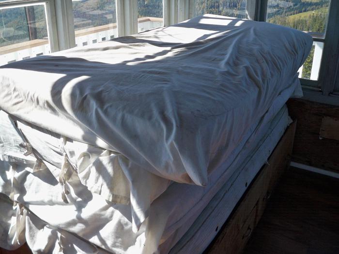
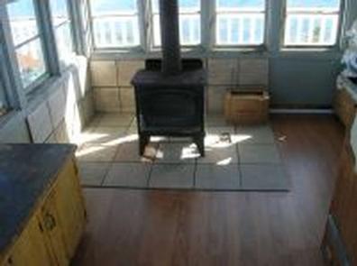
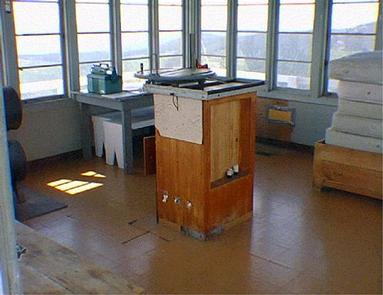
The lookout cabin is surrounded by windows on all sides and is encircled by a catwalk. It can accommodate up to 5 people on 1 twin size bed with mattress and 4 additional mattresses. Other amenities include a wood stove, table, benches and cleaning gear.
An outhouse is located nearby and a campfire ring is provided at the base of the tower. Firewood is available.
Water and electricity are not available. Guests need to bring their own water supply for drinking, cooking and washing.
Items such as a cook stove, cooking gear, bedding, lanterns or flashlights, matches, extra toilet paper, first aid supplies, trash bags, dish soap, towels and an ice chest are not available. Guests are expected to pack out their trash and clean the cabin before leaving.
Natural Features
This lookout has many nice locations to enjoy the awe-inspiring scenery, which includes views of Koocanusa Reservoir and Mount Henry. Mountain peaks stretch out as far as the eye can see, and the surrounding area is covered in mixed evergreen forest. From this altitude, guests can enjoy beautiful sunrises and sunsets and starry skies at night.
Kootenai National Forest supports populations of deer, elk, moose, grizzly and black bears, wolves and mountain lions (bear safety). A variety of smaller mammals and birds can also be found.