
Directions
From Big Timber, Montana, travel 14 miles east on Interstate Highway 90 to exit 384 (Bridger Creek). From the stop sign, travel south for 8.2 miles to the junction of Main Bridger with West Bridger Creek Road. Turn right and continue on West Bridger Road for 2.2 miles to the junction of West Bridger with Derby Gulch. Stay right on West Bridger Road for 0.7 miles. On the south side (left) of the road, at the turn off to the cabin, is a reflective sign (white numbers on a green background) 291. The wire mesh gate on the left side of the road has 3 locks (interlocking) on it – please re-lock the gate the same way. The driveway to the cabin is approximately 0.2 miles.
Accessibility is generally good. It is advisable to call the Livingston Office of the Yellowstone Ranger District at (406) 222-1892 for local road condition information.
Phone
406-222-1892
Activities
CAMPING, FISHING, HIKING, HUNTING, WINTER SPORTS
Keywords
WEBR,WEST,BRIDGER,GALLATIN NF – FS
Related Link(s)
Overview
West Bridger Cabin is open-year round for the enjoyment of outdoor enthusiasts. Guests have access to a variety of recreational activities in a beautiful, peaceful mountain setting. The cabin in generally accessible by car, but spring and winter road conditions may limit access. Snow conditions can preclude wheeled vehicles for up to the last mile to the cabin in the winter. The cabin features an electric cooking stove and lights, but other amenities are limited. Guests will need to bring MOST of their own gear and supplies.
Recreation
Hiking, mountain biking and equestrian trails and roads heading west from the cabin ascend into the foothills of the Beartooth Mountains and dip into the Deer Creek valley. The 8-mile Derby Mountain Trail starts at the cabin and takes hikers around the east side of Derby Mountain, ending at Arch Rock.
Casual anglers may catch a fish in West Bridger Creek. In-season, big game hunting in designated areas is also a popular pastime.
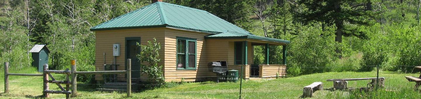
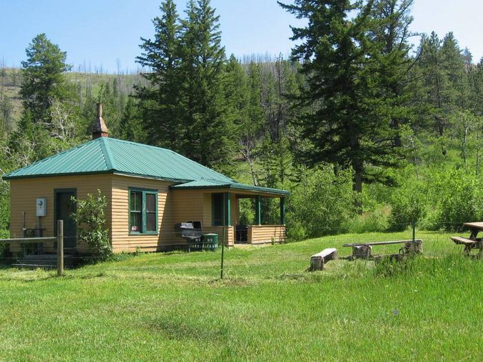
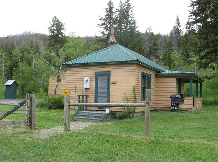
Facilities
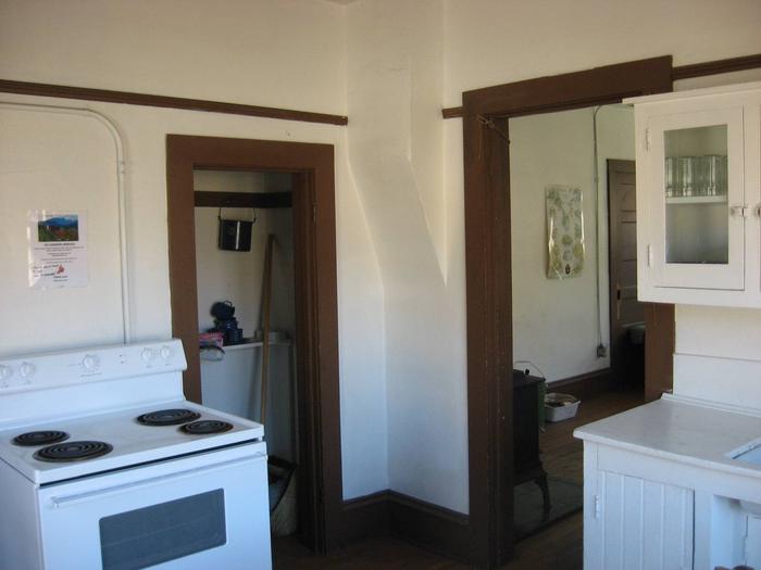
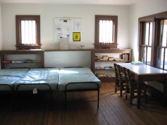
This two-room cabin accommodates four people on single beds with mattresses. It has an electric stove and lights, a table with chairs, some cookware, dinnerware, utensils, and
cleaning gear, along with an axe, maul, bucket and shovel. A wood-burning stove is provided for heat.
PLEASE DO NOT BURN THE PROVIDED FIREWOOD FOR OUTDOOR FIRES AS IT IS EXTREMELY DIFFICULT TO REPLACE. USE ONLY FOR INDOOR WOODSTOVE DURING WINTER MONTHS.
There is a campfire ring and a vault toilet outside. Firewood is provided for use in the wood heating stove only. Guests must bring their own wood or collect wood from the nearby forest for campfires. Livestock may be kept at the small corral and fenced pasture, and hitching rails are also available.
The cabin does not have water. Guests must either bring their own drinking water or treat water from the nearby creek.
Garbage bags are needed to pack out trash, and guests are expected to clean the cabin and corral (if used) before leaving. Other items to pack include a flashlight, bedding, cookware, dishes, utensils, newspaper, matches, toilet paper and a first aid kit.
Natural Features
West Bridger Cabin is nestled in a valley along West Bridger Creek. It sits at an altitude of 4,847 feet in a clearing surrounded by the Beartooth Mountains, some of which are densely forested with evergreens, while others have sparse vegetation.
This area is home to moose, mule deer, elk and grizzly bear. Birders may spot bald eagles, owls, Stellar’s jays, western meadowlarks and mountain bluebirds.