SOUTH DICKEY LAKE, MT Campground Reservation, Info, Images, Map, Directions

SOUTH DICKEY LAKE, Montana Campground Images, Info & Reservations

Listen

Directions

From Eureka travel South on Hwy 93 for approximately 20 miles. Take a left on Lake Shore road 3788 and follow for 2 miles to the day use site.

Phone

406-296-2536

Activities

BOATING, CAMPING, FISHING, SWIMMING SITE

Keywords

SODI,SOUTH,DICKEY,LAKE,KOOTENAI NF – FS

Related Link(s)

Rec Area Info & Images

Montana State Tourism

Montana State Road Conditions

Overview

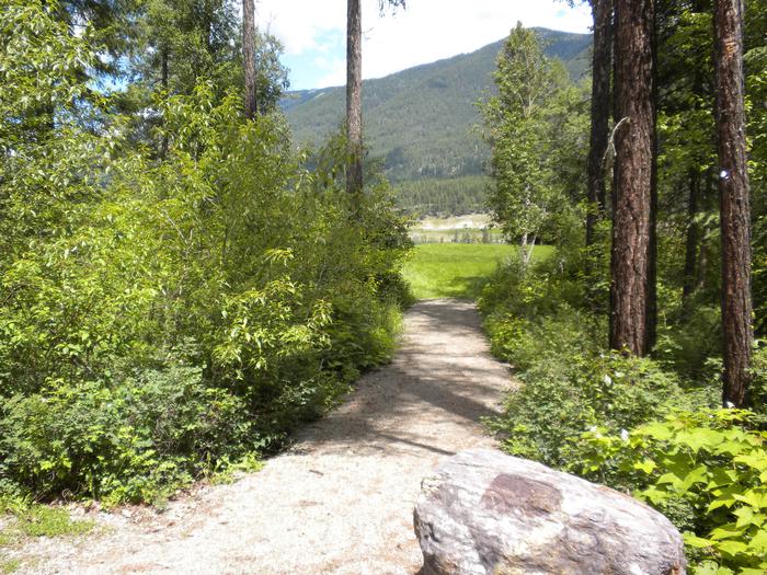
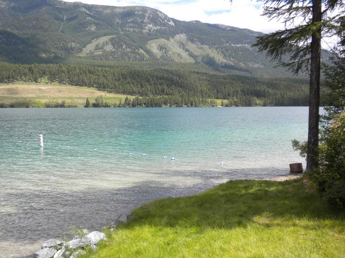
South Dickey Lake is a popular group picnic area on the shores of beautiful Dickey Lake. It provides access to a grassy swimming beach. There are 5 day use sites, but only one site can be reserved. All other sites are first come-first serve.

Recreation

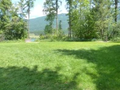
The lake provides ample opportunity for boating, fishing, swimming and water skiing. Anglers can expect a catch of kokanee salmon, kamloop and rainbow trout. A grassy lawn gently slopes down to the lake.

Facilities

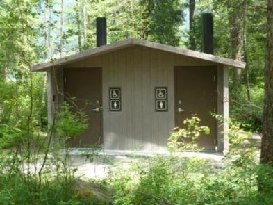
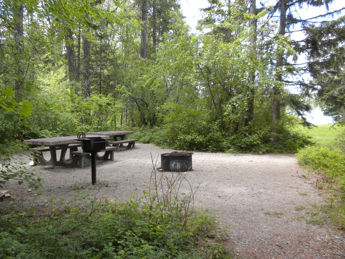
The reservable group picnic area can accommodate up to 50 people and is equipped with two tables and campfire rings with grills. Accessible vault toilets and potable drinking water are also provided. The swimming beach is available for use, but is open to the public as well. This site is a day use area, open from 10 a.m. to 10 p.m. Overnight camping is not allowed. Visitors who wish to stay overnight can make reservations at North Dickey Lake Campground.

Natural Features

The facility is located in northwestern Montana, next to 800-acre Dickey Lake. Larch and fir trees surround the lake and dot the landscape at the picnic area. It is situated at an elevation of about 3,100 feet. In the spring and early summer, the sound of the loon can often be heard from the beach.

Nearby Attractions

The facility is 20 miles from the United States-Canadian border, and 65 miles from the entrance to Glacier National Park.

Reservation

More from CampingHiking.net:

SWAN CABIN, North Carolina Campground Images, Info & Reservations

Listen Directions From Robbinsville, North Carolina, take Highway 129 north. After about 2 miles turn left onto 143 West (Massey Branch Road). Pass the Ranger Office and continue to the stop sign (2.2 miles). At the stop sign, turn right, continuing on 143 West for approximately 6.9 miles. Turn right

VIGILANTE CABIN, Montana Campground Images, Info & Reservations

Listen Directions From Sheridan, travel south on Highway 287 for about 10 miles to Alder. Turn south on Ruby River Road and continue about 22 miles to Vigilante Station. The last 20 miles are on a gravel road, which can be slippery when wet or snow-covered. The gate lock code

SPRING CANYON GROUP SITE, Washington Campground Images, Info & Reservations

Listen Directions Take Highway 2 west of Spokane for 65 miles to the town of Wilbur, Washington. Turn north on Highway 174 (follow road signs). Travel 19 miles and turn right at the sign for Spring Canyon Campground. Phone 509-754-7889 Activities BIKING, BOATING, HISTORIC & CULTURAL SITE, CAMPING, INTERPRETIVE PROGRAMS,

WOODS CABIN, Montana Campground Images, Info & Reservations

Listen Directions From Darby, Montana, continue north on Highway 93 for 4 miles. Turn west onto County Road 82/Lake Como Road. Follow signs to the Lake Como National Recreation Area and continue past the swimming area, to a gate at the third lot. Maps of the area can be purchased

BERRY MOUNTAIN PARK SHELTER, North Carolina Campground Images, Info & Reservations

Listen Directions From Charlotte, North Carolina, take I-77 North (approximately 60 miles) before merging onto Highway 421 North towards Wilkesboro/Boone. Continue to Exit 286B (approximately 20 miles), turn left onto Highway 268 and continue for approximately 4 miles. Berry Mountain Park will be on the right. From Winston-Salem, North Carolina,

ORANGE OLSEN, Utah Campground Images, Info & Reservations

Listen Directions From Orangeville, Utah, proceed west on Utah Highway 29 for approximately 10 miles to Joes Valley Reservoir. Continue on Hwy 29 around the north end of the reservoir to Forest Road 0144 where a sign directs you to Orange Olsen Administrative Site. Turn right (north) on this gravel