
Directions
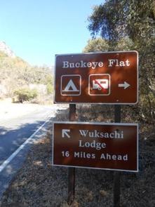
Buckeye Flat Campground is easily accessed from Visalia, California and Highway 99. Follow Highway 198 East from Visalia for 36 miles, until you reach the Ash Mountain Entrance Station. The campground is located 6 miles beyond the entrance station, across from Hospital Rock. Please visit our website for more specific driving directions, as well as area maps.
Phone
559-565-3714
Activities
CAMPING, FISHING, HIKING, VISITOR CENTER, WILDLIFE VIEWING
Keywords
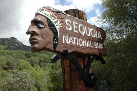
Buckeye Flat Campground,Buckeye Flat,Sequoia National Park
Related Link(s)
California State Road Conditions
Overview
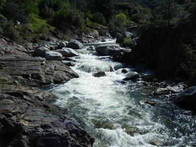
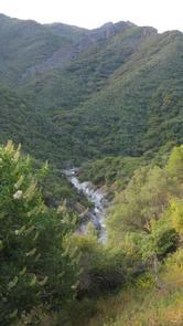
Buckeye Flat Campground is located in Sequoia National Park, in the heart of the Sierra Foothills. The campground sits at an elevation of 2,800 feet, perched above the Middle Fork of the Kaweah River and shaded by a stand of large Live Oaks. For more information and trip planning please see our website at www.nps.gov/seki
Recreation
Whether you are visiting the spectacular sequoia trees in the Giant Forest or backpacking into the wilderness of Sequoia and Kings Canyon National Parks, Buckeye Campground offers a convenient starting point. Located just six miles from the Ash Mountain Entrance Station, the campground is within a 30-minute drive to countless miles of trails and natural wonders.
Facilities
Buckeye Flat Campground offers 27 reservable campsites accommodating tents only. Picnic tables, fire rings and food storage lockers are provided at each site. Flush toilets and drinking water are available within the campground.
Natural Features
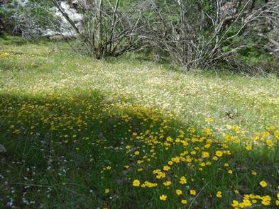
The Foothills consist of the lower elevations of Sequoia National Park, where the grassy valley floor gives way to granite peaks. Oaks, chaparral and river canyons are plentiful here in an area with more biological diversity than the conifer forests and High Sierra combined. Winters are relatively snow-free and mild; summer is characterized by hot and dry weather. Wildlife is frequently seen in the area, including the American Black Bear, mule deer and bobcats, as well as numerous bird species.
Nearby Attractions
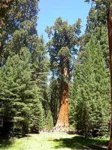
Buckeye Flat Campground is located within a 30-minute drive from the Giant Forest, home to the largest trees on Earth. Moro Rock, Crescent Meadow and the Congress Trail are also located in the Giant Forest area, as well as numerous other opportunities for exploration in Sequoia National Park.
The Crystal Caves are about a 45 minute drive (16 miles/26 km) from the campground. Reserve tour tickets in advance on Recreation.gov.
Charges & Cancellations
- Payment in full will be charged to your credit card upon completion of the reservation. A $10.00 service fee will apply if you change or cancel your reservation. Additional fees will apply for late cancellations.
- All cancellations made between midnight on the day before arrival and check out time on the day after arrival are considered late cancellations and will incur a $10.00 cancellation fee and will also forfeit the first nights use fee. Cancellations for a single nights reservation will forfeit the entire use fee but no cancellation fee will apply.