
Directions
From Interstate 5 at Red Bluff, take Antelope Boulevard east for about a quarter-mile. Turn right (south) on Sale Lane continue for approximately 3 miles to the Red Bluff Recreation Area entrance gate. Continue on that road until you get to the Sacramento River Discovery Center than turn left. The campground entrance is aproximately 600ft. down on the right.
Phone
530-527-2813 FOR RESERVATION MODIFICATIONS CALL 1-877-444-6777
Activities
BIKING, BOATING, CAMPING, INTERPRETIVE PROGRAMS, FISHING, HIKING, PICNICKING, WILDLIFE VIEWING, DAY USE AREA, PHOTOGRAPHY, WATER ACTIVITIES, KAYAKING, CANOEING, BIRDING, WATER ACCESS, JET SKIING
Keywords
Lake Red Bluff,Red Bluff
Related Link(s)
California State Road Conditions
Overview
Sycamore Grove Campground sits along the banks of the sparkling Sacramento River at a 300-foot elevation, within the 488-acre Red Bluff Recreation Area. The area is an isolated parcel of the Mendocino National Forest in Northern California, in Red Bluff, CA. Visitors to the campground enjoy shady oak and sycamore trees and grassy fields within a beautiful riparian environment.
Recreation
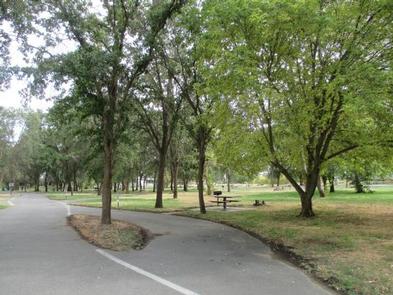
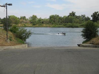
Visitors can enjoy the 4-mile paved nature trail, which winds through flowering grasslands, wetlands and oak woodlands, providing access to an abundance of plants and wildlife, as well as incredible views of Mount Shasta, Mount Lassen and the Yolla Bolly Mountains. The nearby river provides visitors with access to a variety of water-related recreation opportunities, including fishing, boating, water skiing, jet skiing, swimming and canoeing. A variety of fish can be seen in the river, including Chinook, Steelhead, and Striped Bass.
Facilities
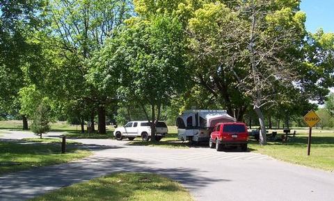
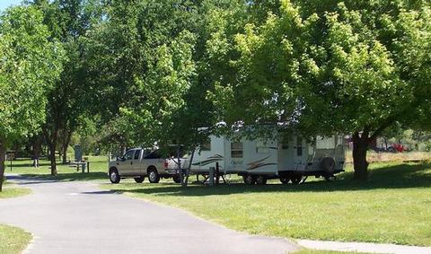
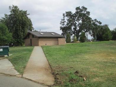
The campground offers more than two dozen, single-family and double campsites, available for tent and RV camping. Campsites are equipped with tables and campfire rings with grills. Accessible flush and vault toilets, as well as showers and drinking water, are provided. The showers are coin-operated and a code for the combination lock to the bathhouse can be obtained from the on-site campground host.
Natural Features
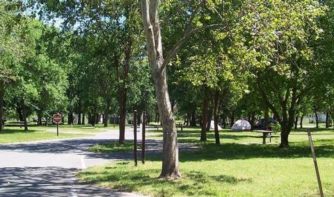
Sycamore Grove is a beautiful campground that is open year-round. Campsites and open areas throughout the campground are covered in lush, green grass, with shade trees towering overhead. The campground provides access to a variety of hiking and biking trails, as well as the scenic Sacramento River, which is open to all types of water sports.
Nearby Attractions
Sycamore Grove Campground is located in the middle of the Northern Sacramento Valley. It is two miles from the city of Red Bluff, 25 miles from Rolling Hills Casino, 34 Miles from Redding California, 40 miles from Lake Shasta, and 60 miles from Lassen Volcanic National Park.