
Directions
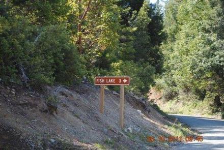
From Orleans, California, take State Route 96 south for about 8 miles. Turn north on Bluff Creek Road and continue about 4.7 miles to Forest Road. Turn right and continue almost 3 miles to the campground.
Phone
530-627-3291
Activities
BIKING, CAMPING, FISHING, HIKING, WILDLIFE VIEWING, SWIMMING SITE
Keywords
FISH LAKE CAMPGROUND (CA)
Related Link(s)
California State Road Conditions
Overview
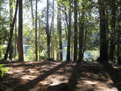
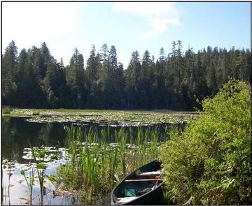
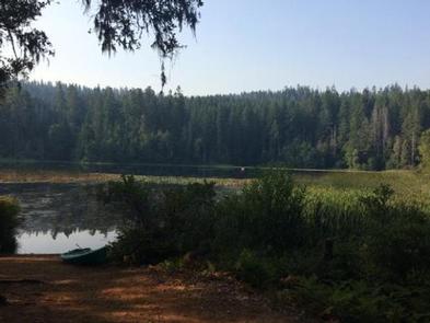
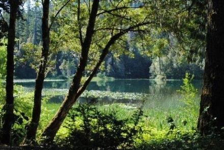
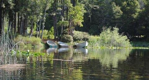
Fish Lake Campground lies on the shore of its namesake at the northwestern edge of Six Rivers National Forest. Lily pads thrive on the lake, and Douglas fir and cedar trees provide ample shade and a secluded camping experience.
Recreation
Canoeing and swimming are popular activities on the lake. The kayaking, whitewater rafting and fishing at the nearby Klamath, Trinity and Salmon Rivers is considered some of the best in northern California.
Campers can hike a system of trails, including the Blue Lake, Red Lake and Fish Lake trails, all of which have trailheads in the campground.
Visitors also enjoy fishing for trout, bluegill, and bass in the lake or explore native plants and wildlife throughout the lush region.
Facilities
Most sites are suitable for both tent and RV camping. Vault toilets, drinking water, tables and combination fire ring grills are provided.
Natural Features
Located about 1,780 feet above sea level, the campground is nestled in a mixed hardwood and conifer forest with fir and Port Orford cedar trees that provide low-level shade and friendly midsummer breezes.
Fish Lake is believed to be the second-largest freshwater lake in California’s Humboldt County. Some campsites offer sweeping lake views, while others are within a short walk of the water.
Nearby Attractions
Weitchpec, California, located about 12 miles north of the campground, is home to a Native American Yurok tribe, and Yurok tribal offices, a community center, a small grocery store and gas station are available.