
Directions
Flanners Beach Campground is located between New Bern and Morehead City, North Carolina, just 1/2 mile off US 70.
From New Bern, travel southeast about ten miles on US 70E. Turn left onto Flanners Beach Road (State Route 1107) and travel about 1/2 mile to the recreation area.
From Morehead City, travel northwest on US 70W about 20 miles. Turn right onto Flanners Beach Road (State Route 1107) and travel about 1/2 mile to the recreation area.
Phone
252-638-5628
Activities
BOATING, HISTORIC & CULTURAL SITE, CAMPING, INTERPRETIVE PROGRAMS, FISHING, HIKING, HUNTING, PICNICKING, WATER SPORTS, WILDLIFE VIEWING, SWIMMING SITE
Keywords
Neuse River Campground,Neuse River,Flanners Beach,Flanners Beach Campground,Croatan National Forest
Related Link(s)
North Carolina State Road Conditions
Overview
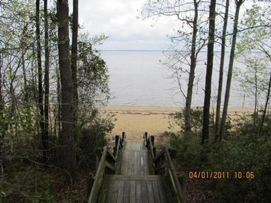
Located in the Neuse River Recreation Area in eastern North Carolina, Flanners Beach Campground is situated on a bluff overlooking the scenic Neuse River and within a half-hour drive from the Atlantic Ocean and Intracoastal Waterway.
Recreation
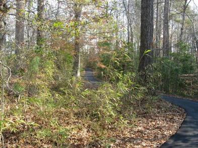
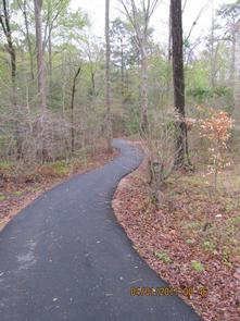
The area includes a three mile non-motorized trail. Water activities abound and include canoeing, kayaking, and fishing. Hunting is also popular in the area.
Facilities
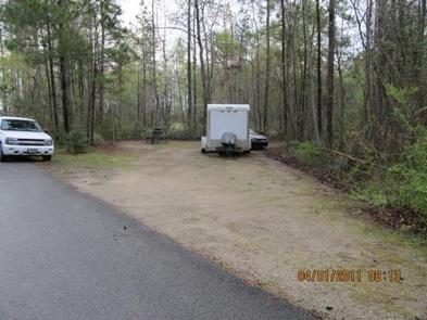
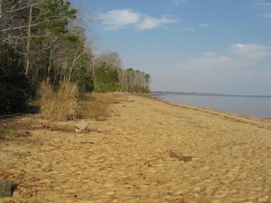
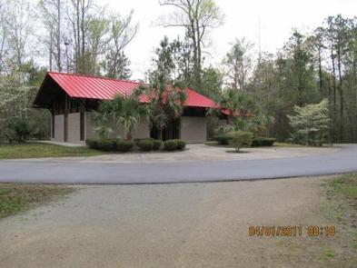
The campground has 41 sites; 22 of the sites offer electrical hookups. Amenities include a bathhouse with private hot showers and an adjacent day-use picnic area with access to the Neuse River beach.
Natural Features
The Neuse River is a coastal waterway where saltwater meets fresh, and is approximately two miles wide where the waters meet. The river empties into the Bogue Sound just a few miles down-stream.
Nearby Attractions
Special places in the area include the Beaches of the Crystal Coast of North Carolina, Tryon Place (the original governor’s mansion of the thirteen colonies), and Fort Macon (an original pre-Civil War Fort).