SUNNYSIDE CAMPGROUND, OR Campground Reservation, Info, Images, Map, Directions

SUNNYSIDE CAMPGROUND, Oregon Campground Images, Info & Reservations

Directions

From Blue River, travel 4 miles east on Hwy 126 to Aufderheide Drive (FS road 19). Continue on Aufderheide Drive for 9.5 miles; turn left on FS road 1900-500 for .25 miles.

Phone

801-226-3564

Activities

WILDLIFE VIEWING, BIRDING

Keywords

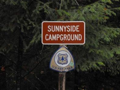
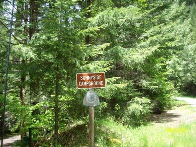
SUNNYSIDE CAMPGROUND,COUGAR RESERVOIR,BLUE RIVER

Related Link(s)

Rec Area Info & Images

Oregon State Road Conditions

Forest Service Concessionaire

Oregon State Tourism

Overview

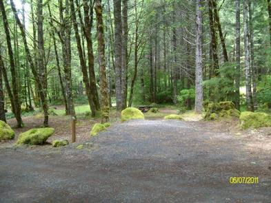
Sunnyside Campground is located along the southeast side of Cougar Reservoir at 1,700 feet in elevation. A large grove of conifers provides shade to these campsites. Motorhomes and trailers not recommended due to the steep entrance into the campground.

Recreation

Hiking in the area is outstanding in nearby Three Sisters Wilderness, along Rebel Creek. Hikers will enjoy exploring other trails including the French Pete Trail, Box Canyon Trail, Indian Ridge Lookout, and several day hikes within the Cougar Recreation Area. After a fun day on the lake, relax and enjoy Terwilliger Hot Springs, a day use area along Rider Creek.

Facilities

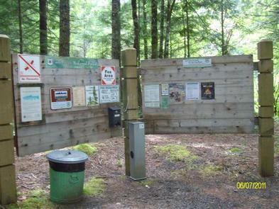
The campground offers vault toilets and garbage collection. Individual campsites include a fire ring and picnic table. Easy access to the lake is possible from this scenic location. There is no water available, campers will need to bring enough for the duration of their stay.

Natural Features

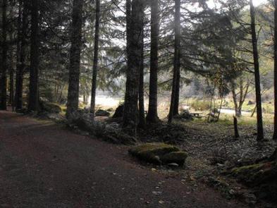
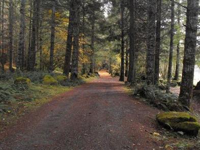
Situated near the South fork of the McKenzie River on the Willamette National Forest, Cougar Reservoir is part of the Cougar Recreation Area. Wildflower and wildlife viewing are abundant.

Reservation

More from CampingHiking.net:

ONEGUME, Minnesota Campground Images, Info & Reservations

Directions Onegume is located on State Highway 46, approximately 18 miles northwest of Deer River, Minn. Phone 218-246-2123 Activities BIKING, BOATING, CAMPING, INTERPRETIVE PROGRAMS, FISHING, HIKING, WATER SPORTS Keywords ONEG,CHIPPEWA NF – FS Related Link(s) Rec Area Info & Images Minnesota State Tourism Minnesota State Road Conditions Overview Onegume Campground

LODGEPOLE CAMPGROUND (WA), Washington Campground Images, Info & Reservations

Directions From Yakima, take Highway 12 west to the junction with Highway 410. Travel 39 miles on Highway 410 to the campground entrance. Phone 541-338-7869 Activities CAMPING, FISHING, HIKING, SWIMMING SITE Keywords LDPL,OKANOGAN – WENATCHEE NF -FS,LODGEPOLE,LODGEPOLE CAMPGROUND Related Link(s) Rec Area Info & Images Washington State Tourism Forest Service

FORT PICKENS CAMPGROUND, Florida Campground Images, Info & Reservations

Directions Physical Address (NO MAIL SERVICE): 1400 Fort Pickens Road, Pensacola Beach, FL 32561 From I-10, take I-110 S to Pensacola. Take U.S. Highway 98S/FL Highway 30 over Pensacola Bay to Gulf Breeze. Follow 98 through Gulf Breeze, turn right onto FL Highway 399 to Pensacola Beach. Pay $1/vehicle at

CRAGS CAMPGROUND, California Campground Images, Info & Reservations

Directions From Bridgeport, California, take Highway 395 and turn south at Twin Lakes Road and travel 9.6 miles. Turn left onto the paved road across from the Twin Lakes Resort Laundromat. Travel approximately 0.6 miles, go across Robinson Creek Bridge and turn left into campground. Phone 760-932-7092 Activities CAMPING, FISHING