


Directions
From Soda Springs, take Highway 34 north approximately 12 miles to the China Hat turnoff (Blackfoot River Narrows). This road will follow Blackfoot River for another 11 miles to a junction; there is a Forest Service sign at this point. Take the right fork (Caribou National Forest Road 102) southeast for another 12 miles to the guard station. The road will turn into Diamond Creek Road. The guard station is about 1 mile south of the Johnson Guard Station. Maps are available upon request at the district office.
Phone
208-847-0375
Activities
BIKING, CAMPING, FISHING, HIKING, HORSEBACK RIDING, HUNTING, WINTER SPORTS
Keywords
Related Link(s)
Overview
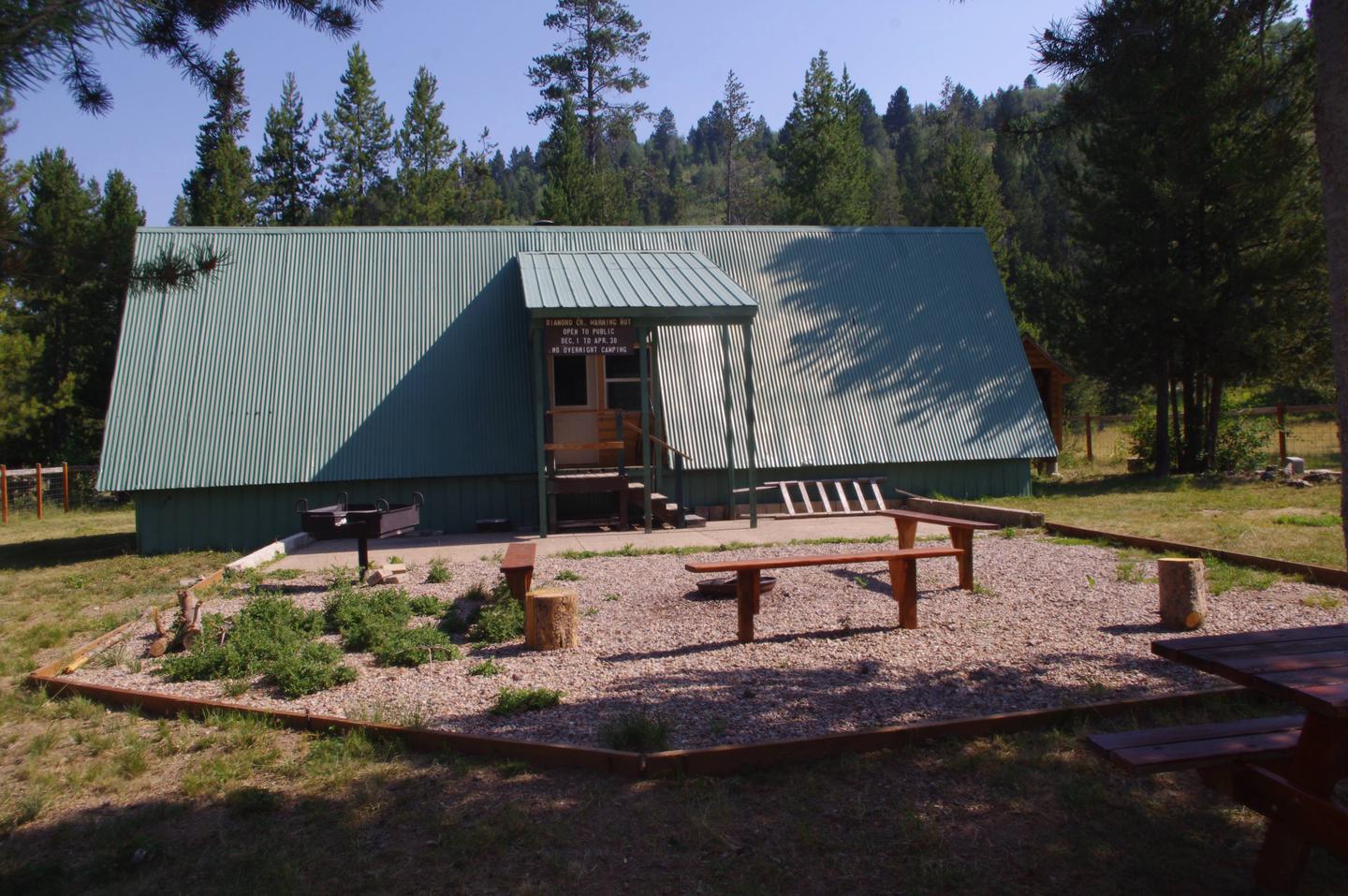
Diamond Creek Guard Station is located 30 miles east of Soda Springs, Idaho. The current building was constructed in the early 1990â??s as a snowmobile warming hut.
The cabin is accessible by car in warmer months and by snowmobile in winter. The cabin provides a few conveniences; however, guests should be prepared to bring the supplies and equipment they need to make their stay more comfortable.
Recreation
The Bear Canyon OHV Trail is about two miles north of the guard station . Hikers and mountain bikers will also find trails nearby. The area surrounding the cabin is a playground for snowmobilers and skiers in the winter months.
Anglers can fish in nearby Diamond Creek. The surrounding area also attracts big game and game bird hunters.
Facilities
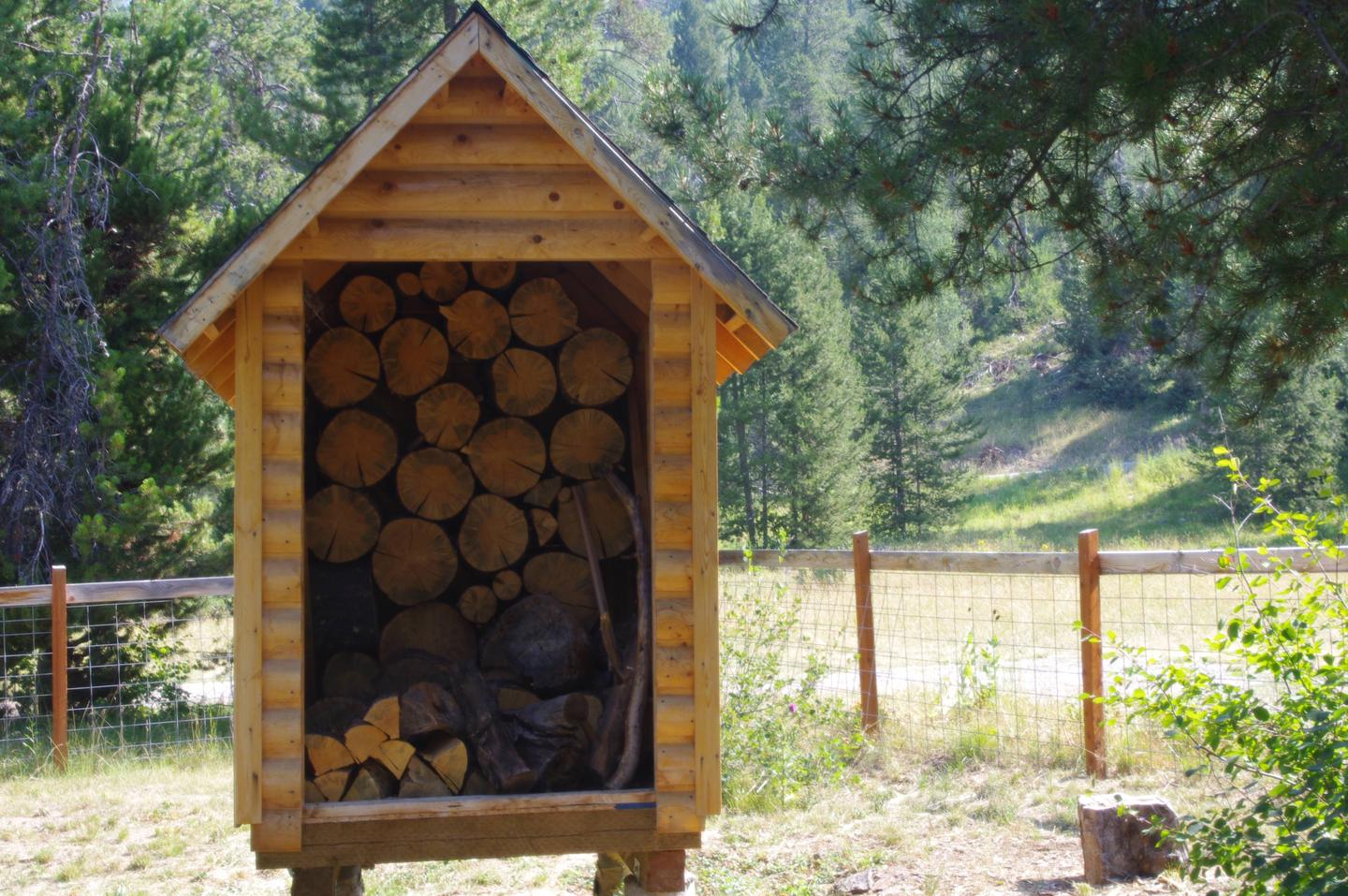
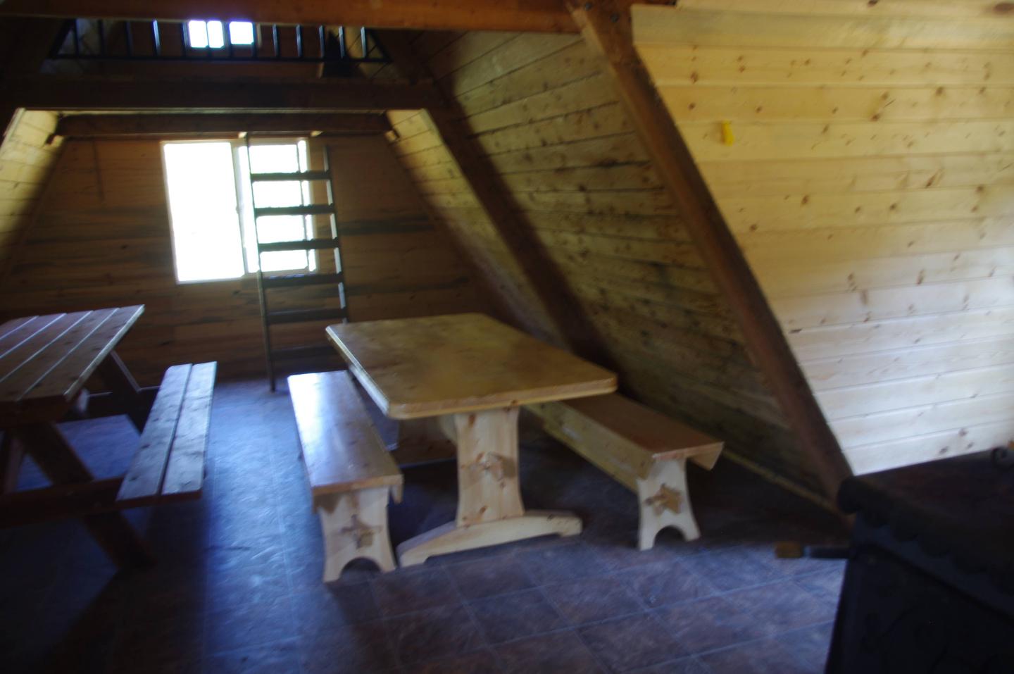
The guard station has a maximum capacity of 15 people. There are a total of four beds. Please bring your own sleeping pad and bedding. There are also two small lofts that provide an additional sleeping area. A wood stove heats the cabin. A vault toilet and picnic table is located outside.
No water or electricity is available at the cabin. Guests will need to supply their own water for drinking, washing and cooking. Bedding, cookware, kitchen utensils and emergency supplies are not provided.
Guests are required to bring garbage bags to pack out their trash. The cabin should be cleaned before leaving; guests should bring some cleaning supplies.
Natural Features
The cabin sits in a meadow at an elevation of 6,900 feet surrounded by the peaks of Dry Ridge and the Webster sub-range in southeastern Idaho. Stands of aspen and lodgepole pine dot the landscape.
Wildlife in the Caribou-Targhee National Forest includes black bears, wolves, elk, moose, mule deer, bison, grizzly bears , mountain lions and pronghorn.