GRAND ISLAND CABINS, MI Campground Reservation, Info, Images, Map, Directions

GRAND ISLAND CABINS, Michigan Campground Images, Info & Reservations

Directions

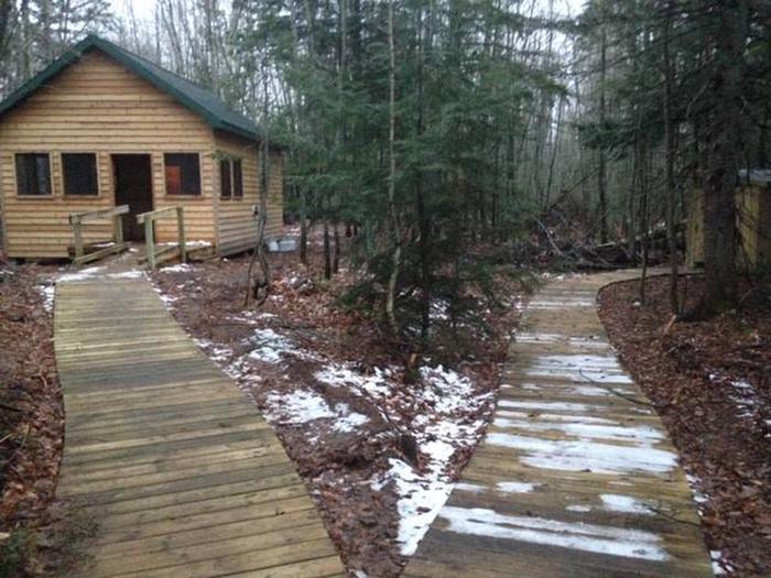
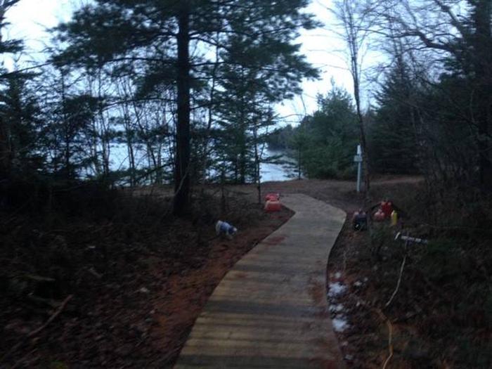
Beginning in fall and throughout winter, ferry service to the island is closed. Access to the island is only by personal watercraft, or, if the lake is frozen, access via foot or snowmobile. Please call ahead to find out if there is ice or open water. Crossing Lake Superior to get to Grand Island is at your own risk. Once on Grand Island, cabins can be accessed by hiking, biking, skiing, or use of snowmobile depending on the season. Sunset Cabin is located on the West Rim Trail approximately 3.6 miles from the island ferry landing.

Phone

906-202-1778

Activities

HISTORIC & CULTURAL SITE, CAMPING, FISHING, HUNTING, WINTER SPORTS, WILDLIFE VIEWING

Keywords

Sunset Cabin,Hiawatha National Forest,Grand Island Recreation Area,Grand Island Lodging,Merchant Cabin,Munising

Related Link(s)

Rec Area Info & Images

Michigan State Road Conditions

Michigan State Tourism

Overview

Grand Island Cabins are remotely located on forested Grand Island, surrounded by Lake Superior, 1/2 mile off the mainland community of Munising, Michigan. The cabins are placed in individual settings providing an excellent base for hiking, biking, and other outdoor activities.

Recreation

Recreation opportunities include: kayaking, biking, hiking, fishing, swimming, beachcombing, and hunting.

Facilities

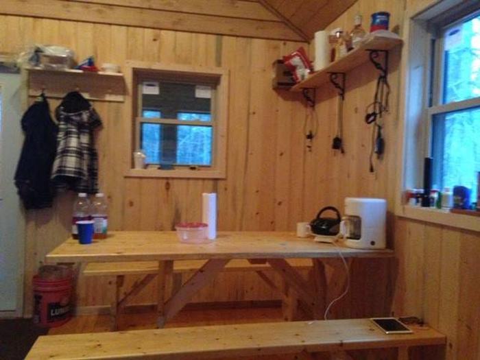
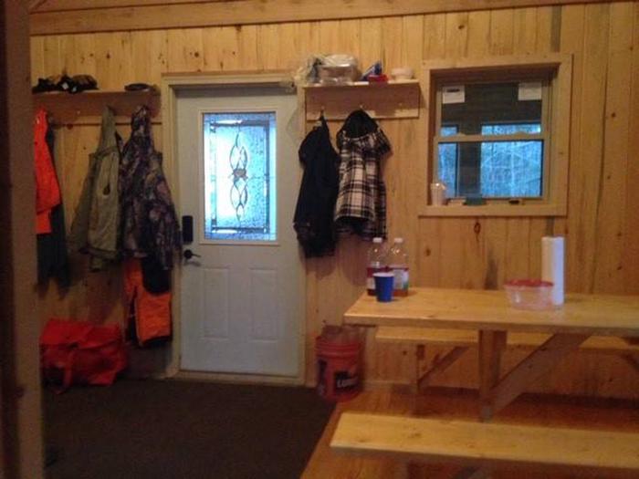
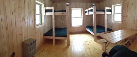
Each cabin is 14′ x 16′ with an attached 8′ x 14′ screened in porch and offers four full size beds, bunk bed style. Maximum sleeping capacity is eight people per cabin. Picnic table and campfire ring with cooking grate are located just outside each cabin.

Natural Features

The cabins sit amidst a forest of old-growth trees within walking distance of Lake Superior. Grand Island’s scenic natural beauty and interesting history make it an attractive place to spend your vacation. The island’s miles of trails provide ample opportunity to view wildlife, picturesque sunsets, and enjoy pristine beaches.

Nearby Attractions

Lake Superior is the largest body of fresh water in the world. It is the coldest, cleanest, and deepest of the five Great Lakes. The lakes’ clear water enables viewing of several shipwrecks from in a boat.

Reservation

More from CampingHiking.net:

STONEY GROUP SHASTA-TRINITY, California Campground Images, Info & Reservations

Directions From I-5 in Redding, California, take 299 west to Weaverville. Go north on State Highway 3 for 14 miles. The campground is on the left. Phone 530-275-8113 Activities BOATING, CAMPING, FISHING, WATER SPORTS, SWIMMING SITE Keywords STON,STONEY GROUP SHASTA TRINITY,SHASTA-TRINITY -FS Related Link(s) Rec Area Info & Images California

EAST MEADOW CAMPGROUND, California Campground Images, Info & Reservations

Directions Take Interstate 80 to the Truckee/Highway 89 North exit. Follow Highway 89 north for 17 miles, to the turnoff for Jackson Meadows. Travel west on Forest Road 07 for 18 miles to Jackson Meadows Reservoir. Turn into the campground at the Pass Creek Campground sign. Phone 530-265-8861 Activities BIKING,

TYEE PAVILION, Oregon Campground Images, Info & Reservations

Directions From Sutherlin, travel west on Highway 138 for 12 miles. Turn left at the Bullock Bridge, cross over the bridge and immediately turn right onto County Road 57 (Bullock Road). Travel .5 miles to Tyee. Campground is on the right. Phone 541-440-4930 Activities CAMPING, FISHING, SWIMMING SITE Keywords TYPA

ELK LAKE CAMPGROUND, Oregon Campground Images, Info & Reservations

Directions From Bend, travel 33.1 miles southwest on Cascade Lakes Hwy (46) to north end of Elk Lake. Phone 541-323-1746 Activities CAMPING Keywords Related Link(s) Rec Area Info & Images Oregon State Tourism Oregon State Road Conditions Overview Elk Lake Campground is located on the north end of Elk Lake

ALPINE NORTH LOOP, Idaho Campground Images, Info & Reservations

Directions From Alpine, Wyoming, travel 2 miles west on Highway 26 to the campground entrance. Phone 208-270-0150 OR 541-351-1182 Activities BIKING, BOATING, CAMPING, FISHING, HIKING, WATER SPORTS, WILDLIFE VIEWING Keywords ALPI,CARIBOU-TARGHEE NF – FS Related Link(s) Rec Area Info & Images Forest Service Concessionaire Idaho State Road Conditions Idaho State

BEAR CREEK BUNKHOUSE, Montana Campground Images, Info & Reservations

Directions From Ennis, take Highway 287 south for 11 miles, to Cameron, Montana. From Cameron, turn east on Bear Creek Loop and continue approximately 6 miles to the cabin. The last several miles is gravel or dirt, which may be muddy or snow-covered and may not always be plowed. Maps