BULL BEND CAMPGROUND, OR Campground Reservation, Info, Images, Map, Directions

BULL BEND CAMPGROUND, Oregon Campground Images, Info & Reservations

Listen

Directions

From Bend, OR: Travel 26.8 miles south on Highway 97 to Wickiup Junction, then 10.5 miles west on County Road 43, turn left on the 100 road. There is a sign there for Bull Bend. Follow the 100 road south approximately one mile and turn left at the sign which directs you to Bull Bend. Travel east about 1.5 miles until the road dead ends. Make a left and then in about a quarter mile you will turn right into the campground.

Phone

541-323-1746

Activities

CAMPING

Keywords

Related Link(s)

Rec Area Info & Images

Oregon State Tourism

Oregon State Road Conditions

Overview

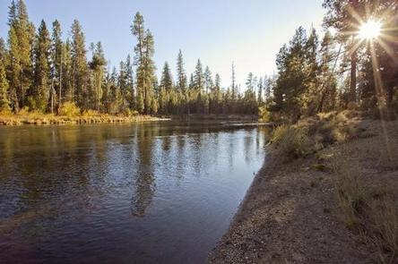
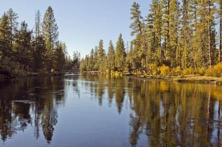
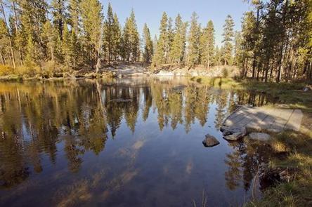
Bull Bend is located along the Deschutes River just below the Wickiup Reservoir Dam.

Recreation

Bull Bend Campground offers a great location for fishermen. Fishing access is best found along the banks or using a non-motorized boat. Motorized boating is not permitted in the area.

Facilities

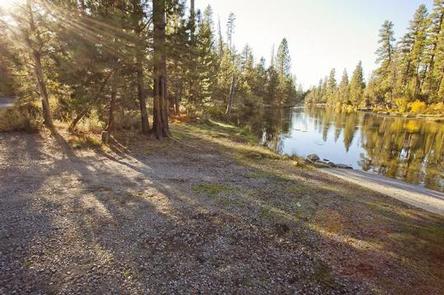
Bull Bend Campground can accommodate RV, trailer or tent-campers; however, electric and water hookups are not available. The campground does not have running water. All sites are equipped with a picnic table and fire pit. Vault toilets are available.

Natural Features

Bull Bend Campground is located on a small peninsula lined by the Deschutes River.

Nearby Attractions

Visitors can explore wilderness areas, rivers, lakes and reservoirs, and hundreds of miles of hiking trails. Newberry National Volcanic Monument offers a glimpse into Central Oregon’s rich geologic history. Travel 25 miles to Lava Lands Visitor Center to explore exhibits at the interpretive center, attend a ranger talk, take in scenic views from the top of Lava Butte and travel one-mile underground through Lava River Cave. Travel 30 miles to Newberry Caldera to visit Paulina and East Lake, Paulina Peak and Paulina Falls. Bull Bend Campground offers easy access to the Cascade Lakes Scenic Byway which weaves through multiple high lakes with views of South Sister, Broken Top and Mt. Bachelor.

Reservation

More from CampingHiking.net:

KELLEY GUARD STATION, Wyoming Campground Images, Info & Reservations

Listen Directions From Kemmerer, WY, follow U.S. Highway 189 north to the junction of Wyoming Highway 233 and Ham’s Fork Road. Turn left on Ham’s Fork Road and drive about 38 miles (the first 19 miles of this road is paved) to Ham’s Fork Campground. Just past the campground, take

BIG ELK, Idaho Campground Images, Info & Reservations

Listen Directions From Idaho Falls, Idaho, travel approximately 56 miles on Highway 26 to Palisades Dam. Once at the dam, continue 6 miles east on Highway 26, then turn left onto Forest Road 262 (Big Elk Creek Road) and travel 2 miles to the campground. Phone (208) 270-0150 OR 541-351-1182

BUCK CREEK (RATHBUN LAKE), Iowa Campground Images, Info & Reservations

Listen Directions From Centerville, IA, travel 5 miles north on HWY 5 to HWY J-29, then 4 miles northwest to HWY J5T. Travel 2 miles north and follow signs to campground. Phone FOR CAMPGROUND INQUIRIES DURING MAY- SEPTEMBER PLEASE CALL 641-724-3206. DURING CLOSED SEASON OCTOBER -APRIL PLEASE CALL 641-647-2464 Activities

ASPEN POINT, Oregon Campground Images, Info & Reservations

Listen Directions From Medford, Oregon, travel 32 miles east on Highway 140, then turn south on Forest Road 3701 and continue .6 miles to the campground. Phone 541-949-8020 Activities BIKING, BOATING, CAMPING, FISHING, HIKING, SWIMMING SITE Keywords APEN,LAKE OF THE WOODS,WINEMA NF – FS Related Link(s) Rec Area Info &

BEAR CREEK CABIN, Montana Campground Images, Info & Reservations

Listen Directions From Ennis, take Highway 287 south for 11 miles, to Cameron, Montana. From Cameron, turn east on Bear Creek Loop and continue approximately 6 miles to the cabin. The last several miles are gravel or dirt roads, which may be muddy or snow-covered and may not always be

HAMMA HAMMA CABIN, Washington Campground Images, Info & Reservations

Listen Directions From Hoodsport, WA take Highway 101 north for 14 miles to Hamma Hamma River Road Take a left onto Hamma Hamma River Road/Forest Service Road 25 and travel 5.7 miles to the access road to the cabin. The access road is gated; please respect the renters privacy. To