Directions
From I-84 at Hood River, head south on highway 35 toward Mt. Hood. Just past the Tamanawas Falls trailhead parking, the Sherwood Campground is on the right.
Phone
541-386-6366
Activities
CAMPING
Keywords
Related Link(s)
Overview
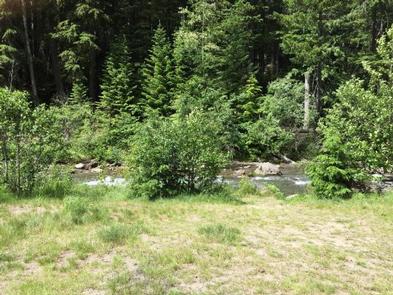
Sherwood campground is an easily accessible location for simple camping, with beautiful landscapes and the Hood River rushing next to it. Close to hiking and recreational locations, Sherwood campground is a prime location for those looking for a centrally located base camp near Mt. Hood, or for those looking for a surprisingly quiet, camping getaway.
Recreation
The location of Sherwood Campground makes for a great place to set up camp and explore the upper Hood River Valley. Hiking trails, waterfalls, river and creeks are in abundance, and with easy access to both Hood River and Mt. Hood, tourist attractions, museums and adventures await.
Facilities
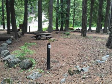
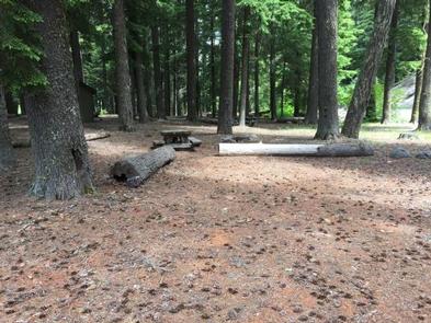
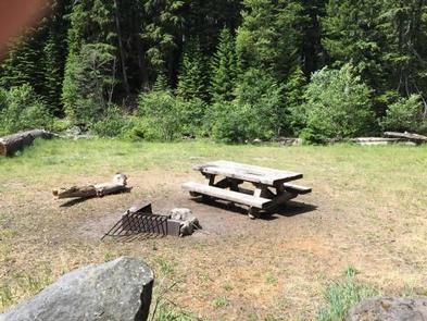
Sherwood campground is a small campground, with an unexpected charm. It sits right along highway 35, so you can see it as you drive by. The rush of the river that sits next to the campground blocks all traffic sounds from the highway. Pit toilets are located centrally in the campground, making it easy to access. A camp host is available during peak season.
Natural Features
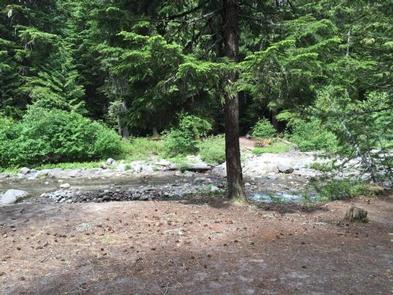
With the Upper Hood River running next to the campground, the nearby traffic is drowned out, and a peaceful retreat is found. Several of the campsites are right on the river, and the beautiful areas that the river has etched is fun to explore.
Nearby Attractions
The Sherwood Campground sits near many locations that are easily accessible in the Mt. Hood area. Campers can walk along highway 35 a couple hundred feet to the Tamanawas Falls trailhead for a beautiful, popular hike. Also, Mt. Hood is only a 15-minute drive from the campground, which has various hiking, biking, and adventure centers for recreationalists.


