
Directions
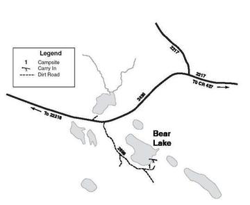
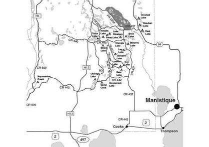
From Cooks (about 12 miles west of Manistique or 24 miles east of Rapid River on US-2) drive north 4.4 miles on County Road 442 to CR 437. Turn left (north) on CR 437 and drive 8.7 miles to FR 2217. Turn left (northwest) on FR 2217 and drive 2.4 miles to FR 2696. Turn left (south) on 2696 and drive 0.5 mile to the campsite
Phone
906-474-6442 OR 906-387-2512
Activities
CAMPING
Keywords
Dispersed campsites,Manistique,Rapid River,lyman lake,swan lake,bass lake,bear lake,camp cook,carr lake,chicago lake,clear lake,crooked lake,east lake,gooseneck lake,ironjaw lake,jackpine lake,lake nineteen,leg lake,little bass lake,minerva lake,mowe lake
Related Link(s)
Michigan State Road Conditions
Overview
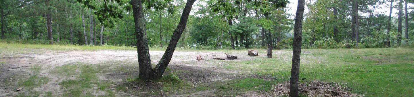
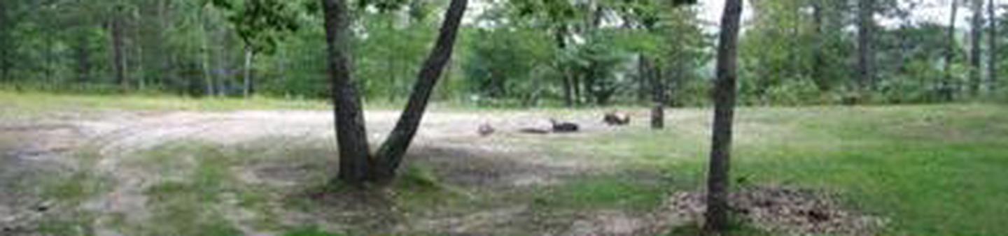
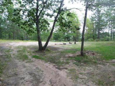
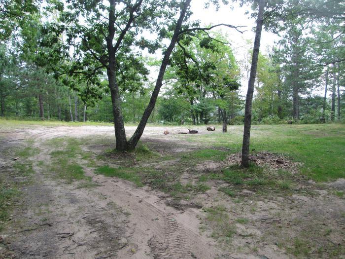
The campsites on the Rapid River/Manistique Ranger District are located on inland lakes and are in a rustic forest environment with few, if any amenities. The rustic environment offers a wonderfully serene and peaceful setting for your next camping experience.
Recreation
Visitors will be able to enjoy swimming, berry picking, and fishing at these dispersed campsites. Licenses are required for fishing in Michigan waters. Some of these campsites offer only one site on these inland lakes allowing for a very peaceful and wilderness-like experience.
Facilities
| Lake Name | Number of Sites | Maximum number of people per site | Toilets | Boat Access | Lake Size (acres) |
|---|---|---|---|---|---|
| Bear Lake | 1 | 8 | No | Slide | 21 |
Natural Features
All of these sites are nestled in hardwood trees and pines. All of them are on small inland lakes, which offer a wide variety of fishing opportunities. There is one exception; Camp Cook, which is close to the Fishdam River and provides opportunities for good brook trout fishing.
Nearby Attractions
There are a number of horse, bike, and hiking trails within minutes of several of the sites. In over a mile from these campsites, visitors can expect to find: bait shops, general and grocery stores, gas, a pay phone, trailheads, a fishing pier, biking, and kayak/canoe rentals.