
Directions
The address is 616 McLeans Creek Road, Troy, NC 27371. From Troy, North Carolina, take State Highway 109 north for approximately 10 miles. Turn left onto Mullinix Road (State Highway 1154) and travel approximately 1.5 miles to a stop sign and “T” intersection. Turn right, and travel about 0.25 mile to the campground on the right.
Phone
910-576-6391 X 0
Activities
BIKING, BOATING, CAMPING, HIKING, HORSEBACK RIDING, HUNTING, WATER SPORTS, WILDLIFE VIEWING, SWIMMING SITE
Keywords
CBHC,UWHARRIE,NFs IN NORTH CAROLINA – FS
Related Link(s)
North Carolina State Road Conditions
Overview
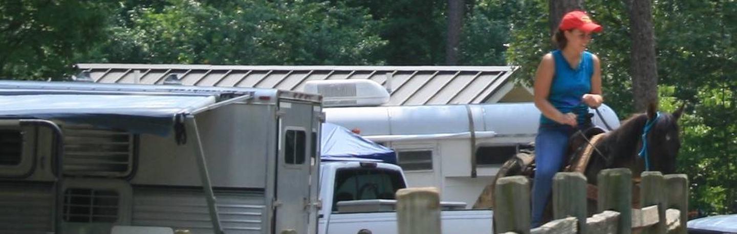
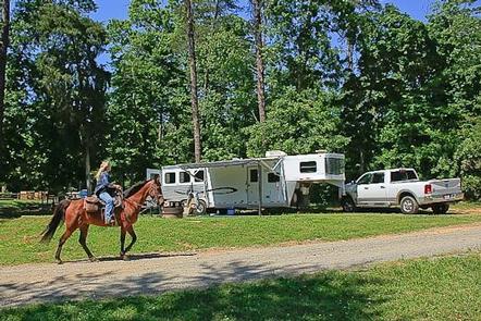
Canebrake Horse Camp lies in the Badin Lake Recreation Area, a hub for outdoor activities in central North Carolina’s Uwharrie National Forest. The facility is a scenic and restful overnight spot with both single and double campsites and numerous amenities for equestrian camping, though it is not exclusive to visitors with horses.
Campers will delight in nearly 40 miles of forested horseback riding trails as well as hiking, off-road vehicle riding, mountain biking, swimming, fishing and boating opportunities in the area. The campground is open year-round.
Recreation
The equestrian trail system is extensive, with miles of forested paths wandering through forests, over hills and across streams. The trails can be accessed from Canebrake using the Home Trail, which skirts the campground. Trails range from easy to difficult, accommodating riders of every level.
The recreation area also offers many ways to enjoy the lake. Campers can spend the afternoon swimming, boating or fishing for bass, bream, crappie and catfish on the water.
Back on land, off-road vehicle enthusiasts have access to 17 miles of trails, and hunters and hikers can explore the surrounding national forest.
Facilities
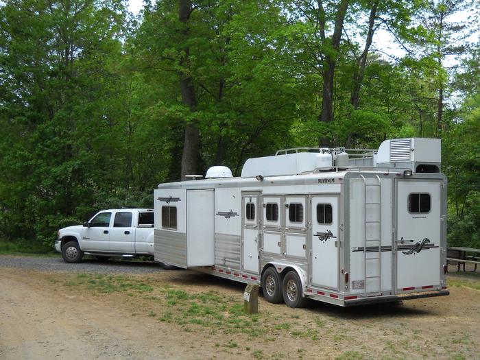
This campground offers many conveniences for horse campers, including a horse washing station, hitching racks, tack tables, parking spurs for horse trailers and direct access to trails.
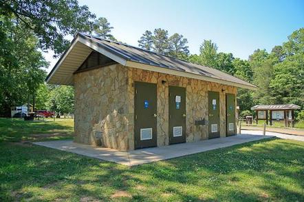
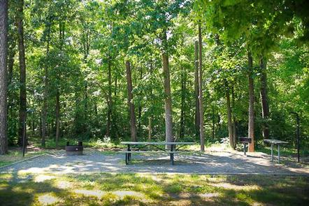
Campsites are arranged around two loops. Each site is equipped with an electric hookup, picnic table, grill, campfire ring and lantern post, and many sites are shaded. The facility also provides drinking water, showers, flush toilets and a centrally-located dump station.
Natural Features
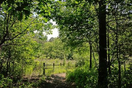
Canebrake lies in a quiet forest of pine, oak and hickory near the shore of 5,000-acre Badin Lake.
Winter temperatures range from the low 30s to upper 50s, while summer brings temperatures in the upper 80s and 90s and high humidity. Weather is pleasant in spring and fall, with high temperatures in the 60s and 70s.
Nearby Attractions
A theme park with a petting zoo, nature center and mini golf course lies just under an hour away and makes a fun day trip for families.