Directions
From Ennis – Most Direct Route – 4 WD/High Clearance Vehicle Strongly Recommended -Take State Highway 287 towards Virginia City – About 1/4 mile east of mile marker 11 (or 3/4 mile west of mile marker 10) turn South into the paved parking area near the top of Virginia City Hill. – Pass through the gate with the cattle guard at the west end of the parking area. Proceed 3.1 miles on the dirt road. The road will descend a very steep hill and intersect with another road. – Turn Left (east) at the intersection. Go 0.7 miles, and the cabin will be on the right (south) hand side of the road. There will be a locked gate to mark the 0.25 mile driveway. If you come to Twin Lakes parking area and vault latrine turn around its right up the hill from you.
Phone
406-683-8000
Activities
BOATING, HISTORIC & CULTURAL SITE, CAMPING, FISHING, HIKING, HORSEBACK RIDING, WILDLIFE VIEWING, FISH HATCHERY, SWIMMING SITE
Keywords
Related Link(s)
Overview
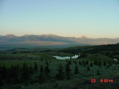
Axolotl Cabin is located approximately 14 miles southwest of Ennis, Montana, in the foothills of the Gravelly Range. The cabin provides access to a variety of outdoor recreational activities and breathtaking views as it peers over the Madison Valley. The cabin is at an elevation of about 7,000 feet and is adjacent to Axolotl Lakes Wilderness Study Area.
Recreation
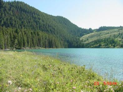
Recreation opportunities abound in the surrounding area including numerous small lakes for exploring, excellent areas for hiking, wildlife viewing, and horseback riding. The world famous Madison River winds through the valley below.
Facilities
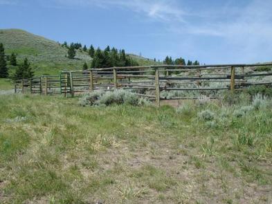
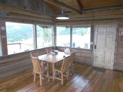
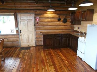
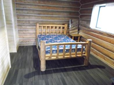
The cabin sleeps a maximum of seven people. There is a queen bed, a queen-size fold out futon, two single bunkbeds and a twin bed. No bedding is provided. The cabin is equipped with a stove/oven, refrigerator, barbeque, wood stove in the bedroom area, fireplace, outside fire pit, and an outhouse. There is non-potable water available. There is solar electricity in the cabin and the lights are now electric instead of propane. Two small corrals near the cabin can accommodate two horses each. You are required to bring your own certified weed seed-free feed; no grazing is allowed.
Natural Features
Axolotl Salamanders exist in a few of the nearby lakes. Several lakes provide ample opportunities for fishing. The surrounding lands are primarily managed by the Bureau of Land Management and provide a variety of recreational opportunities.
Nearby Attractions
Visitors to the area may like to explore nearby Virginia City and Nevada City historic districts.

