BEARD'S BLUFF PARK (AR), AR Campground Reservation, Info, Images, Map, Directions

BEARD’S BLUFF PARK (AR), Arkansas Campground Images, Info & Reservations

Directions

Beard’s Bluff Park is located 13 miles east of Ashdown on State Highway 32. When driving from Ashdown, cross Millwood Dam and take the second left.

Phone

870-388-9556

Activities

BOATING, CAMPING, FISHING, WILDLIFE VIEWING

Keywords

Related Link(s)

Rec Area Info & Images

Arkansas State Tourism

Arkansas State Road Conditions

Overview

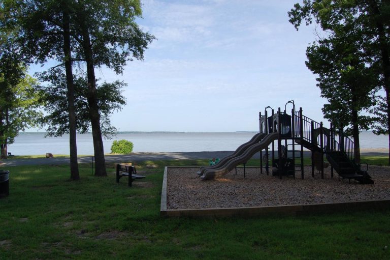
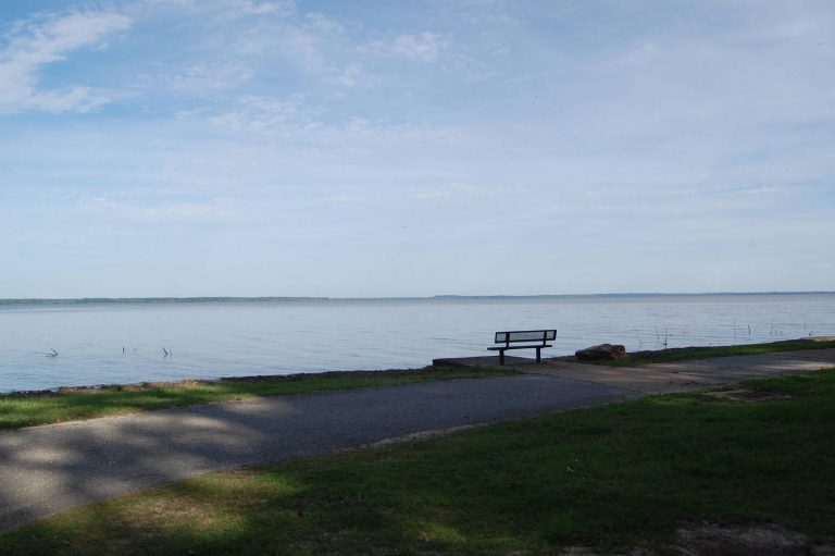
Beard’s Bluff is located 13 miles east of Ashdown on State Highway 32. It is a bird watcher’s paradise with a birding overlook and access to the best sunset viewing on the lake.

Recreation

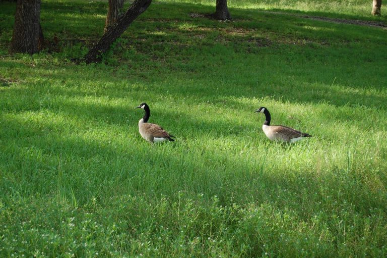
The campground offers open water access to the lake and Little River. The area is made navigable by boat lanes which mark the river and other designated waterways through the lake. Outside of these channels is submerged timber and aquatic vegetation that appeal to anglers and duck hunters alike. Millwood Lake is home to over 300 species of birds including the American Bald Eagle and Great White Pelicans, many of which can be found in the Beard’s Bluff area.

Facilities

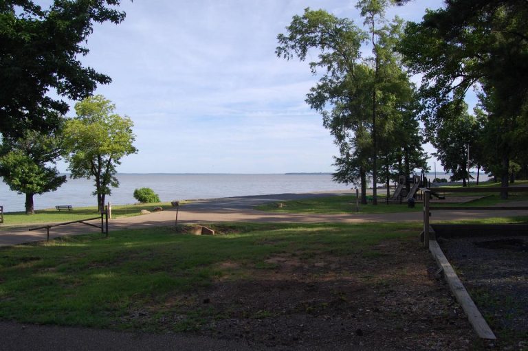
The campground contains lake side campsites as well as those not located directly on the lake but with a lake view. Flush toilets, showers, and potable water are located throughout the campground. The facility also offers one centrally located sewage dump station. Campsites are equipped with picnic tables, grills, fire rings, 30/50 amp electricity, water hydrants, and lantern poles.

Natural Features

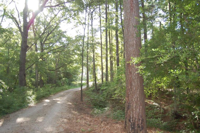
The campground is located directly on Millwood Lake with lake views from most of the campsites. Bluffs overlook the lake and the area is surrounded by a variety of dense forest.

Reservation

More from CampingHiking.net:

WHITEFACE RESERVOIR, Minnesota Campground Images, Info & Reservations

Directions From Eveleth, Minnesota, take Highway 53 south for 7.8 miles, turn east on County Road 16 and travel 18.5 miles. Turn south on County Road 618 and travel 2.5 miles to Whiteface Reservoir. Phone (218)229-8800 Activities CAMPING, FISHING, HIKING, SWIMMING SITE Keywords WHIR,SUPERIOR NATIONAL FOREST,SUPERIOR NF – FS Related

SEVENFATHOM BAY CABIN, Alaska Campground Images, Info & Reservations

Directions Accessible year round, weather permitting. Located 22 miles southeast of Sitka, north of West Crawfish Inlet, just outside the South Baranof Wilderness Area on the southwest side of Baranof Island. From Sitka, boat access takes about 90 minutes and air access takes about 15 minutes. For geographic features surrounding

ROARING RIVER PARK, Tennessee Campground Images, Info & Reservations

Directions From I-40, take HWY 53 north through Gainesboro, TN. Turn east on HWY 135 and follow signs into recreation area. Phone (931) 268-2540 Activities FISHING, PICNICKING, WILDLIFE VIEWING, DAY USE AREA, SWIMMING SITE, PHOTOGRAPHY, SWIMMING, MOTOR BOAT, PADDLE BOATING, KAYAKING, WATER ACCESS Keywords RORN,CORDELL HULL LAKE,ROARING RIVER SHELTER,CORDELL HULL

RIVERSIDE (OR), Oregon Campground Images, Info & Reservations

Directions From Estacada, travel east on Highway 224 for approximately 26 miles, then keep right onto Highway 46 for approximately 2 miles to the campground. Phone 503-630-5721 Activities BIKING, CAMPING, FISHING, HIKING, WATER SPORTS, WILDLIFE VIEWING Keywords RIVX,MT. HOOD NF – FS Related Link(s) Rec Area Info & Images Oregon