
Directions
From Eveleth, Minnesota, take Highway 53 south for 7.8 miles, turn east on County Road 16 and travel 18.5 miles. Turn south on County Road 618 and travel 2.5 miles to Whiteface Reservoir.
Phone
(218)229-8800
Activities
CAMPING, FISHING, HIKING, SWIMMING SITE
Keywords
WHIR,SUPERIOR NATIONAL FOREST,SUPERIOR NF – FS
Related Link(s)
Minnesota State Road Conditions
Overview
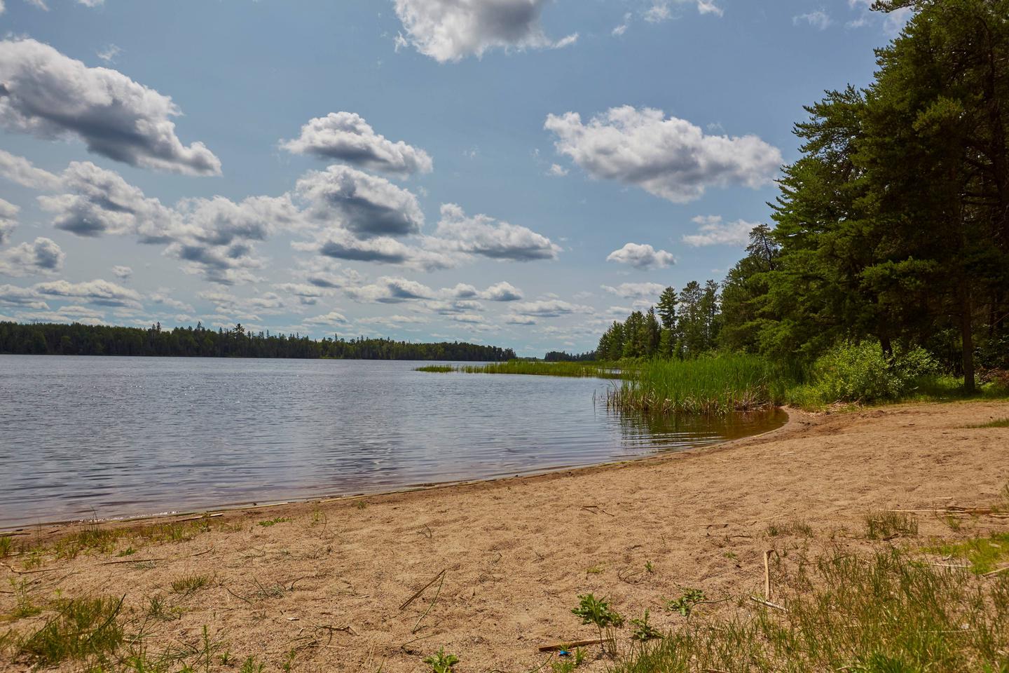
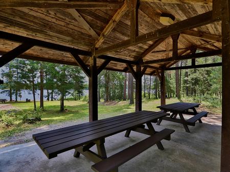
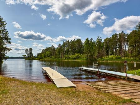
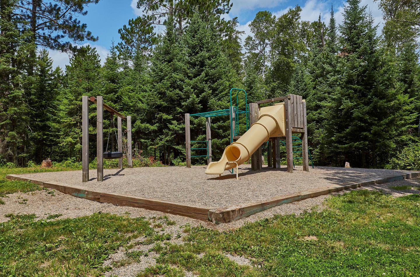
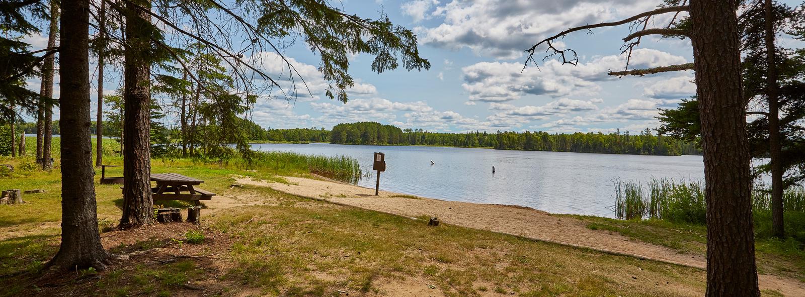
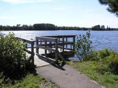
Whiteface Reservoir Campground offers an ideal getaway for anglers, boaters and families. The provided swim beach, accessible fishing dock, playground and five picnic areas offer hours of entertainment, and the scenery provides a relaxing backdrop for the day’s activities.
Superior National Forest, located in northeastern Minnesota’s arrowhead region, is comprised of 3 million acres. The forest spans 150 miles along the United States-Canada border. Visitors can find recreation opportunities year-round, including travel in the famous Boundary Waters Canoe Area Wilderness.
Recreation
A boat launch located at the campground provides access to the great walleye, panfish and northern fishery in the reservoir. The fish cleaning house next to the boat launch gives anglers the chance to clean their fish in time for lunch at the picnic area.
Children will have a great time playing on the playground and on the small, sandy beach. There are also 2.5 miles of hiking trails within the facility.
Facilities
Whiteface Reservoir Campground provides sites for RV and tent camping, along with a few hike-in sites. The opposite shoreline is dotted with private residences.
A few sites overlook the reservoir, and all sites offer shade and privacy. The campground also has some long-term sites that have a yearly fee associated with them.
Campground hosts are available on-site to assist visitors.
Natural Features
Campsites are in a mixed forest including aspen, birch and maple. The reservoir provides 4,980 acres of calm, clean waters. Numerous species of birds and wildlife inhabit the area.
Nearby Attractions
There is a store available on-site that provides firewood, bait, bug spray, snacks and other small items.
Numerous outdoor recreation opportunities lie within Superior National Forest’s 77 lake accesses, 13 fishing piers, 10 swimming beaches and 22 picnic areas. The forest is also home to three scenic byways.