
Directions
From Moab, drive north to the junction with Highway 128. Turn right and travel 29 miles along the river road. The group sites are to your right as you enter the Dewey Bridge campground.
Phone
435-259-2100
Activities
AUTO TOURING, BOATING, CAMPING, HIKING, OFF HIGHWAY VEHICLE, RECREATIONAL VEHICLES, PHOTOGRAPHY, PADDLING, MOUNTAIN BIKING, OFF ROAD VEHICLE TRAILS, WATER ACTIVITIES, CANOEING, STAR GAZING, NON-MOTORIZED BOATING, WATER ACCESS, SCENIC DRIVE, RAFTING, RIVER TRIPS, WHITEWATER RAFTING
Keywords
Related Link(s)
Overview
The group sites at Dewey Bridge are located along the Colorado River and offer a wonderful retreat for adventurers looking to explore the area. Within close proximity to national parks and open space, outdoor enthusiasts will enjoy hiking, mountain biking, whitewater rafting, and four-wheel drive tours in the surrounding area. The town of Moab is approximately 45 minutes away and has dining, shopping, sports rentals, tour companies and museums.
Recreation
Dewey Bridge group sites are close to excellent four-wheel drive routes, mountain biking trails and river rafting. River trips often use these sites as a starting or ending point for river trips on the Colorado and Dolores Rivers.
Facilities
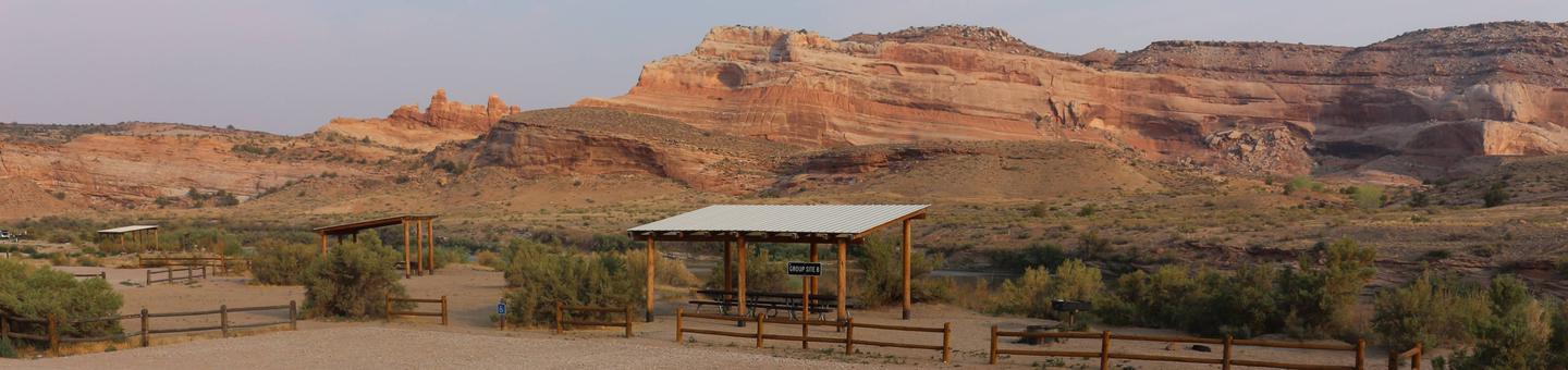
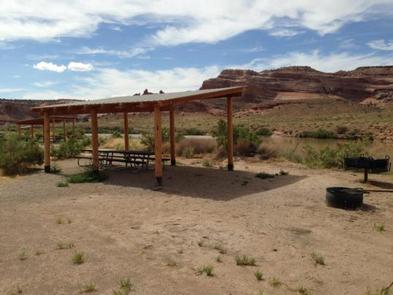
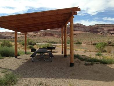
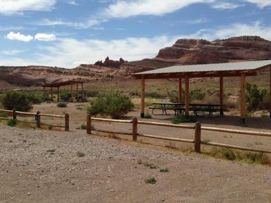
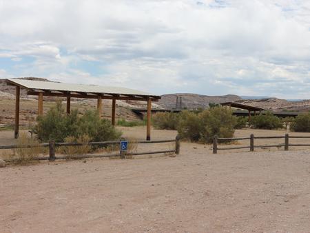
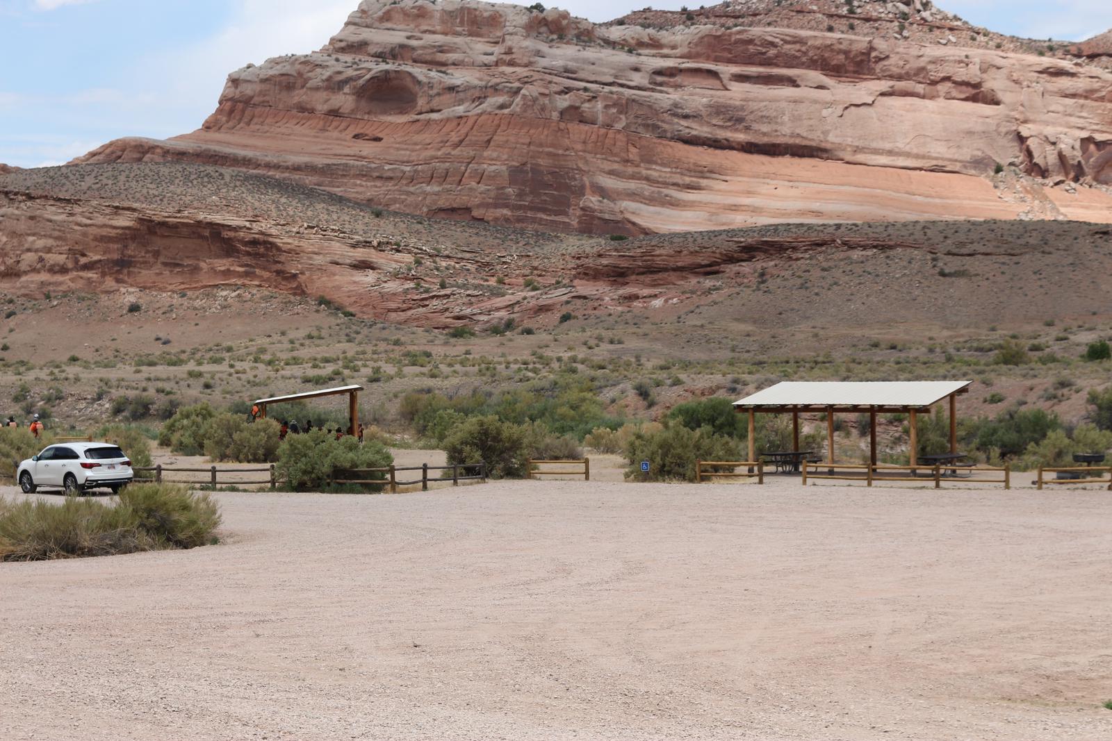
The Dewey Bridge group areas have fire rings, picnic tables, vault toilets and shade shelters. The group sites do not have water, dump stations or electric hook-ups. There is a boat ramp at the campground. Larger vehicles fit at this site, although trailer and RV parking is limited. (Multiple trailers and RVs can be accommodated at the Lone Mesa Group Sites along SR 313.)
Natural Features
Dewey Bridge is close to stunning vistas, scenic river ways, and impressive geology. With superb dark skies, visitors can enjoy a night of stargazing. The group sites are on the banks of the Colorado River with an adjacent boat ramp.
Nearby Attractions
The group sites are beside the Colorado River and scenic State Route 128 leads from Dewey to the town of Moab and nearby Arches and Canyonlands National Parks.