Directions
The put in for the river trip is located at the Hittle Bottom Campground, 21 miles east of Moab on Utah State Route 128. Alternate launch points are at Dewey Bridge, Onion Creek, Rocky Rapid, Ida Gulch and Sandy Beach.
Phone
435-259-2100
Activities
BOATING, CAMPING, WATER SPORTS
Camping Reservations
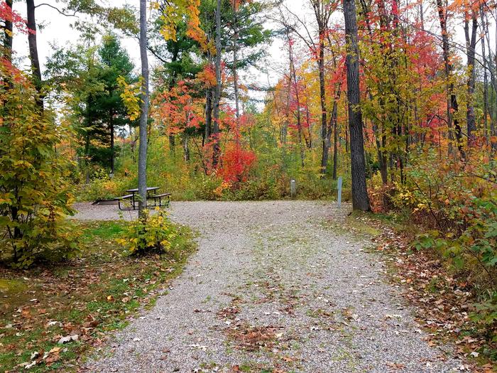
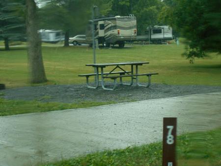
Reserve your campsite at these camping areas:
Hiking Trails
Looking for nice hiking areas to take a hike? Choose from these scenic hiking trails:
Related Link(s)
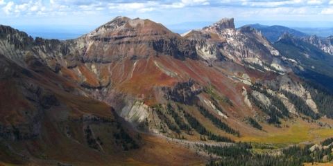
The “Moab Daily” is a popular 13-mile section of the Colorado River that runs from Hittle Bottom Recreation Area to Take Out Boat Ramp and parallels state Route 128. This stretch features easy boater access, close proximity to the city of Moab, moderate rapids, and wonderful scenery. Depending on water levels, rapids on this section range from Class I to Class III. No permits are required for private trips. There are a number of commercial outfitters who have permits from the Moab BLM Field Office to offer guided trips on this section of the river. State of Utah Boating Law requires all boaters to wear life vests. Current streamflow conditions are available on the U.S Geological Survey website. The BLM maintains parking areas, boat ramps, and campgrounds along the entire stretch, including Hittle Bottom, Rocky Rapid (a.k.a. Ida Gulch), Sandy Beach, and Take Out Boat Ramps. Special regulations apply for boaters wishing to camp along the “Daily” section. Overnight camping on river right (facing downstream) is allowed only in designated sites between Dewey Bridge and Salt Wash (the boundary of Arches National Park). On river left, people must camp in BLM developed campgrounds (dispersed camping is not allowed on this side of the river in order to protect resources). Here is a map to help plan your activities along the “Moab Daily”. For those wanting a longer trip, the 7.5 mile Dewey Bridge to Hittle Bottom stretch of the Colorado River offers flat water and great views. Roughly half of the trip is within sight of Fisher Towers and the La Sal Mountains. There is a developed, but steep, boat ramp at the Dewey Bridge Campground (please use caution with vehicles) and boater parking is available. No fee is charge for use of this boat ramp. All BLM individual camp sites are first-come, first-served. Group sites are reservable one year in advance but no more than 8 days before the desired arrival date through Recreation.gov (hint: search on “Hittle Bottom Group Sites” and all reservable sites in the area will be listed).