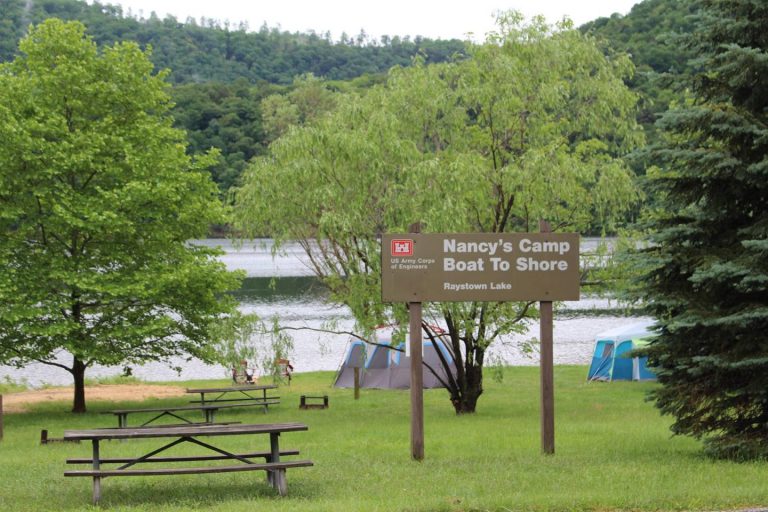
NANCY'S BOAT TO SHORE CAMPGROUND (PA), PA Campground Reservation, Info, Images, Map, Directions

NANCY’S BOAT TO SHORE CAMPGROUND (PA), Pennsylvania Campground Images, Info & Reservations

Directions

The campground is a boat to shore facility and therefore is not accessible by driving. Nearest ramps for launching are Aitch and James Creek at Raystown Lake. Aitch is accessible from PA26 in Marklesburg and James Creek is accessible via PA994 near Entriken.

Phone

814-658-3405

Activities

CAMPING, FISHING, WILDLIFE VIEWING

Keywords

Nancy’s Camp
,Nancy’s Campground

Related Link(s)

Rec Area Info & Images

Pennsylvania State Tourism

Pennsylvania State Road Conditions

Overview

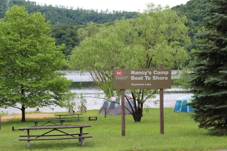
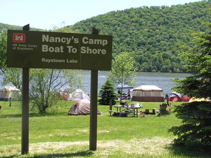
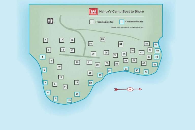
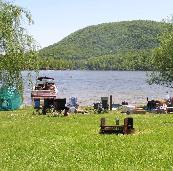
The Nancy’s Boat to Shore Campground, in the central region of Raystown Lake, is the perfect secluded getaway camping spot. Located near both James Creek and Aitch Boat Launch areas, the campground is situated on the shoreline of Raystown Lake away from public roadways. Nancy’s camp map 

Recreation

Fishing is excellent with small and large mouth bass, muskies, striped bass, and brown trout, abundant in the lake. Trough Creek State Park is nearby across the lake; Seven Points and Lake Raystown Resort are both within 8 lake miles. Nearby trails, including Lower Trail (Rails to Trails), Terrace Mountain Trail, Old Loggers Trail and Mid State Trail, attract plenty of traffic.

Facilities

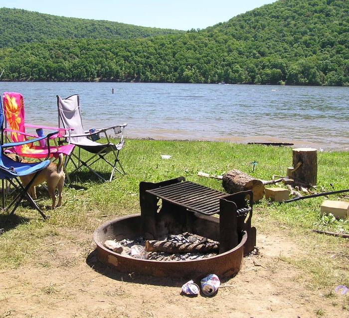
Campsites are accessed by boat only. Although remote and primitive, each campsite offers a picnic table and campfire ring. Maximum of two tents permitted per campsite. There are no electric hookups. Vault toilets are available. Some of the campsites are located in open, grassy areas while others are tucked into wooded areas. Potable water must be brought along to the campground as no water is currently available. 


Natural Features

Raystown Lake is in the ridge and valley province of Pennsylvania. The lakeshore is lined with an old oak-hickory forest giving way to mountain ridges and cliffs. The man-made lake is fed by the Raystown Branch tributary of the Juniata River and is the largest lake completely in the state of Pennsylvania.

Nearby Attractions

Aitch Boat Launch, James Creek Boat Launch, Seven Points Recreation area, Raystown Lake Visitor Center, Lake Raystown Resort & Conference Center and Trough Creek State Park are all nearby.

Reservation

More from CampingHiking.net:

KAH SHEETS BAY CABIN, Alaska Campground Images, Info & Reservations

Directions Accessible by boat or float plane, 24 miles from Petersburg. The cabin may also be reached by hiking the 2.75-mile trail from Kah Sheets Lake, which is accessible by float plane only. Due to changes in Kah Sheets Creek near the cabin, visitors will need at least a 16-foot

NORWAY BEACH LOOP, Minnesota Campground Images, Info & Reservations

Directions From Cass Lake, Minnesota, take U.S. Highway 2 east for 4 miles to the Norway Beach Recreation Area. Turn left and follow the campground road until the signs indicate the Norway Loop. Phone 21-835-4291 Activities BIKING, BOATING, CAMPING, FISHING, WATER SPORTS, SWIMMING SITE Keywords Norway Beach Campground,Norway Campground Related

COLD SPRINGS PEAK CABIN, Idaho Campground Images, Info & Reservations

Directions From Missoula, Montana, drive to Greer, Idaho. Follow State Highway 11 to Weippe. Continue on toward Pierce. Turn right onto French Mountain Road 250. Follow Road 250 (paved for 17 miles, gravel thereafter) to the Bungalow Bridge, which spans the North Fork Clearwater River. Turn right and remain on

WHITEBREAST POINT SHELTER (IA), Iowa Campground Images, Info & Reservations

Directions 971 Hwy S71 Knoxville, IA 50138 From Knoxville, take County Highway T-15 northeast for 8 miles. Turn north onto County Highway S-71 and continue 2 miles, following signs to the campground. From Pella, take County Highway T-15 southwest for 7 miles. Turn north onto County Highway S-71 and continue

DIAMOND, Utah Campground Images, Info & Reservations

Directions From I-15, take exit 258 and turn east toward Spanish Fork Canyon. Continue up Spanish Fork Canyon for about 9 miles to Forest Road 029/Diamond Fork Canyon. Turn left into Diamond Fork Canyon and travel 6 miles northeast to campground. Phone SPANISH FORK RANGER DISTRICT 801-798-3571 OR UTAH RECREATION

CURRIER GUARD STATION, Oregon Campground Images, Info & Reservations

Directions From Paisley Ranger District, drive 12 miles north on Highway 31 and turn left on Forest Road 29, also referred to as Government Harvey Pass. Drive 10 miles on Forest Road 29. Drive carefully on this road as it has narrow curves and washboard conditions. At the junction with