CALDWELL FIELDS GROUP CAMPGROUND, Virginia Campground Reservation, Info, Images, Map, Directions

CALDWELL FIELDS GROUP CAMPGROUND, Virginia Campground Images, Info & Reservations

Listen

Directions

From Blacksburg (junction of North Main Street and US 460), follow US 460 west for 2.8 miles. Turn right on Craig Creek Road (SR 621), go 8.8 miles. Road turns to gravel after 4 miles. Caldwell Fields are on the right.

Phone

(540) 552-4641

Activities

FISHING, WATER ACTIVITIES

Keywords

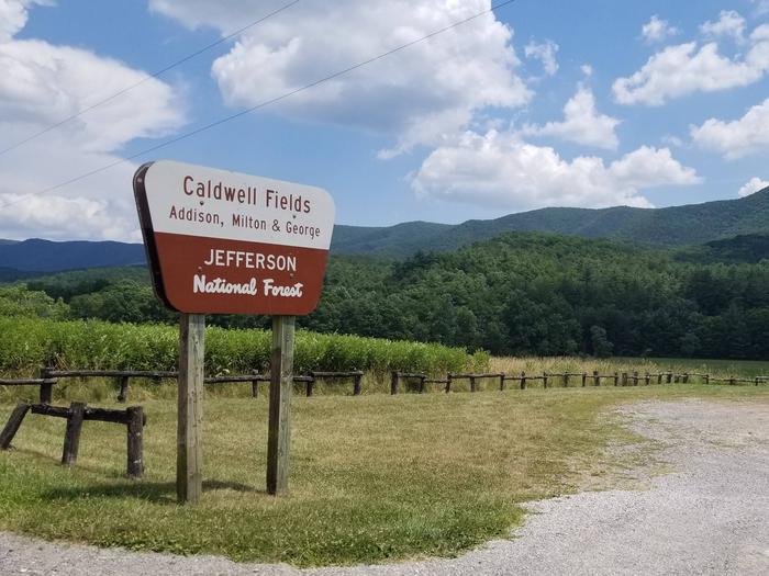
3795 Craig Creek Road,Blacksburg VA 24060,CALDWELL FIELDS GROUP CAMPGROUND

Related Link(s)

Rec Area Info & Images

Overview

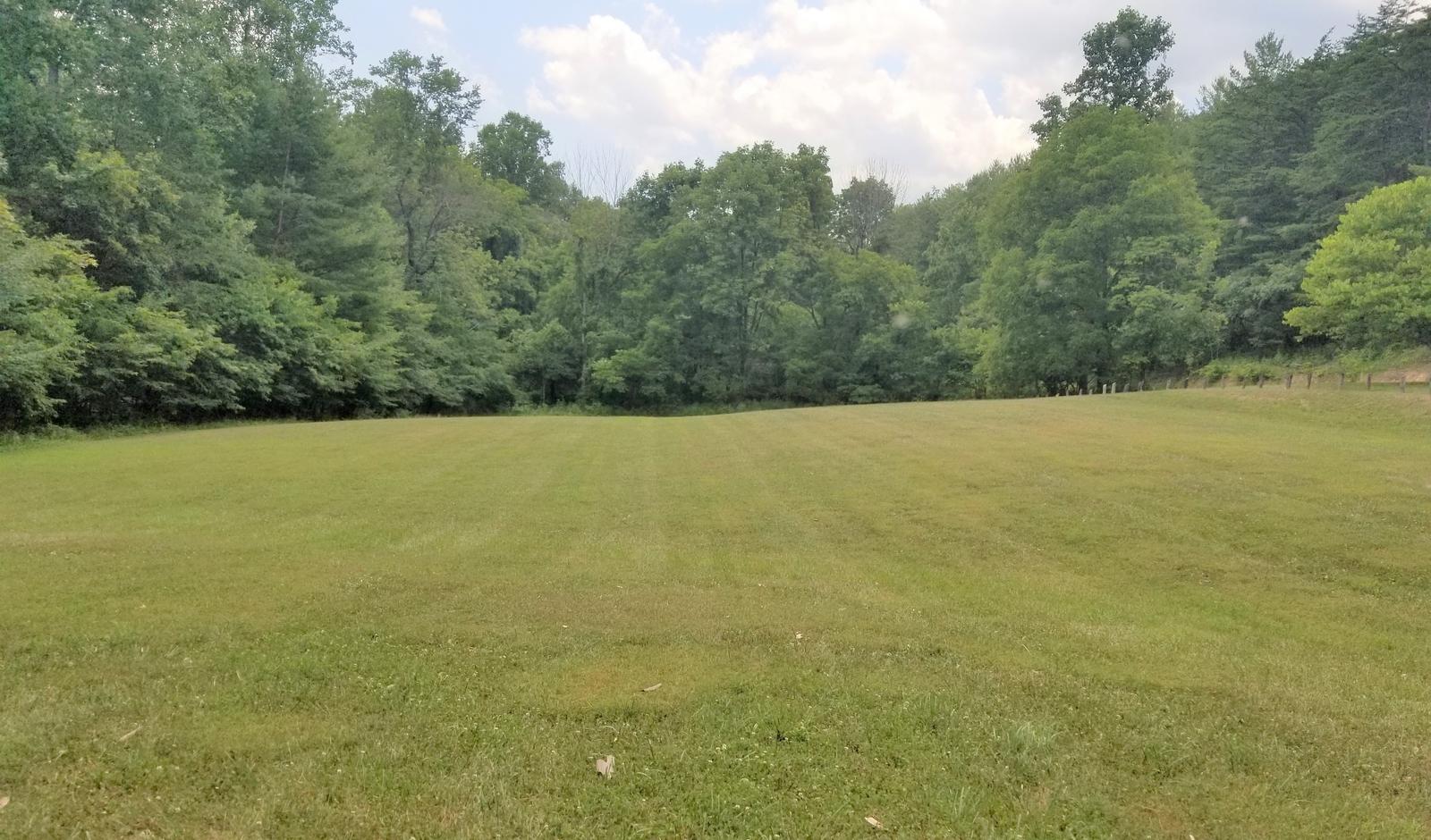
Caldwell Fields Group Campground is actually two separate fields adjacent to each other. George and Milton, each provide group camping and can be reserved together or separately. They are great for groups who prefer old-fashioned, rustic camping who require few amenities.

Recreation

Craig Creek meanders along the edge of the fields where visitors can enjoy splashing and relaxing in its cool waters. The creek is also stocked with trout, providing good fishing opportunities for visitors.

Facilities

Caldwell Fields provides two fields that may be rented separately or together. Each field can accommodate a group of 50 or less people with space for up to 20 vehicles. Groups may choose to rent them together accommodating a group of up to 100 people and 40 vehicles total. Each field has an entrance gate, and they share a vault toilet. There is no potable water, no hookups and no trash collection. State Highway 621 to Caldwell Fields is unpaved.

Natural Features

Located in a narrow valley and flanked by National Forest lands, the two large grassy fields are bordered by large shade trees.

Nearby Attractions

Caldwell Fields is located 20 minutes from Blacksburg, VA, home of the Virginia Tech Hokies.

Reservation

More from CampingHiking.net:

LUCERNE CAMPGROUND, Utah Campground Images, Info & Reservations

Listen Directions From Manila, Utah: Follow Highway 43 for 2.6 miles to the state line, where Highway 43 becomes Wyoming Highway 530. Follow Wyoming 530 for 1.3 miles to Lucerne Valley Road/Forest Road 146. Continue on this road approximately 4 miles to the campground. Phone 801-226-3564 Activities BOATING, CAMPING, FISHING,

WHISKY CAMP GUARD STATION, Oregon Campground Images, Info & Reservations

Listen Directions From Canyonville take West 1st Street and turn onto SE 3rd St/OR-227. Continue to follow OR-227 approximately 23 miles until you reach Tiller Oregon and take a left onto Douglas County Road 46 just before the bridge crossing the South Umpqua River. From Tiller, take Douglas County Road

WATCHMAN CAMPGROUND, Utah Campground Images, Info & Reservations

Listen Directions From Las Vegas, St. George or other points south on Interstate 15: Travel north to Exit 16, towards Hurricane. Follow State Route 9 east for 12 miles to La Verkin and turn right to continue on State Route 9 towards Zion National Park. After passing through Springdale, arrive

HOUSTON MESA, Arizona Campground Images, Info & Reservations

Listen Directions From Payson, Arizona, go north for 1 mile to the junction of Highway 87 (Beeline Highway) and Forest Road 199 (Houston Mesa Road). Turn right (east) onto Forest Road 199 for .10 miles. The campground is on the north side of Houston Mesa Road. Phone 928-468-7135 Activities CAMPING,

SLOUGH CREEK, Kansas Campground Images, Info & Reservations

Listen Directions From Highway 24 in Perry, Kansas, take Ferguson Road north for 7 miles, then turn onto Slough Creek Road and follow signs to the campground. Phone 785-876-3127 Activities BIKING, BOATING, CAMPING, FISHING, HIKING Keywords SLOU,PERRY LAKE,PERRY LAKE Related Link(s) Rec Area Info & Images Kansas State Tourism Kansas