
Directions
From Interstate 80 (Iowa City, Iowa), take Exit 244 towards Dubuque St./North Liberty. Travel north on Dubuque St. for 3 miles and turn right onto West Overlook Rd. NE. Travel on West Overlook Rd. NE for 1.1 miles. At the second stop sign, turn right onto Prairie Du Chien Rd. NE. Travel east on Prairie Du Chien Rd. NE for 0.7 miles, across the Coralville Lake Dam. The East Overlook Day Use Area will be located on the right side of the road. From Interstate 380 (North Liberty, Iowa), take Exit 4 towards North Liberty. Travel east on W. Penn St. for 2 miles and turn right onto N. Dubuque St. Travel south on N. Dubuque St. for 1.9 miles, at the traffic circle, continue straight onto Dubuque St. NE. Continue traveling south on Dubuque St. NE for 1.9 miles. Turn left onto West Overlook Rd. NE and travel east for 1.1 miles. At the second stop sign, turn right onto Prairie Du Chien Rd. NE. Travel east on Prairie Du Chien Rd. NE for 0.7 miles, across the Coralville Lake Dam. The East Overlook Day Use Area will be located on the right side of the road.
Phone
CORALVILLE LAKE PROJECT OFFICE (319) 338-3543 X.6300
Activities
BIKING, HIKING, PICNICKING, WILDLIFE VIEWING
Keywords
Related Link(s)
Overview
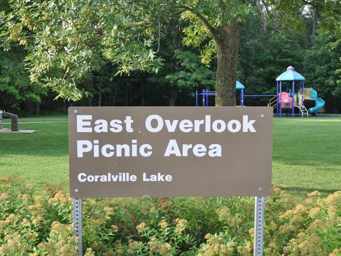
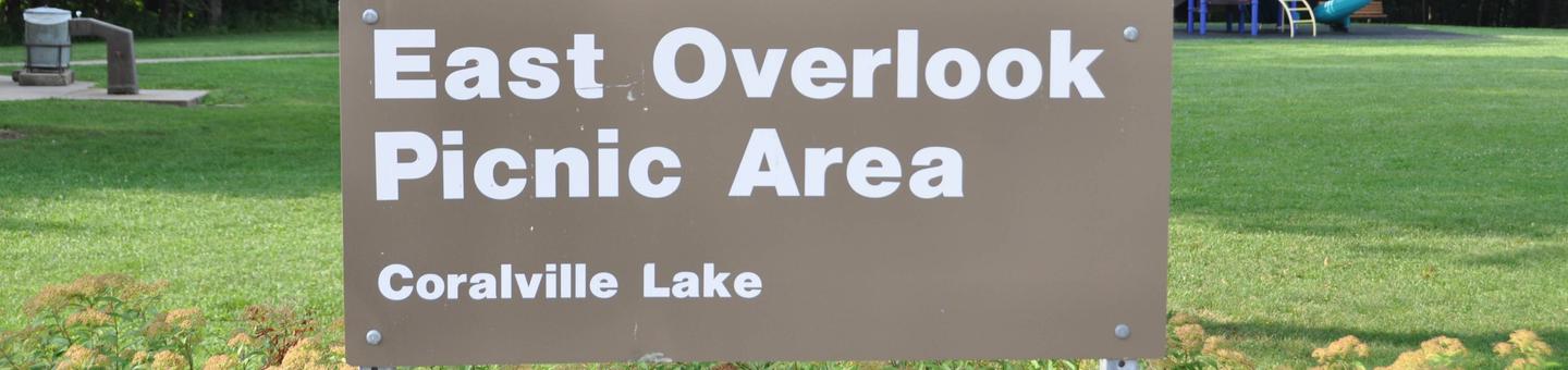
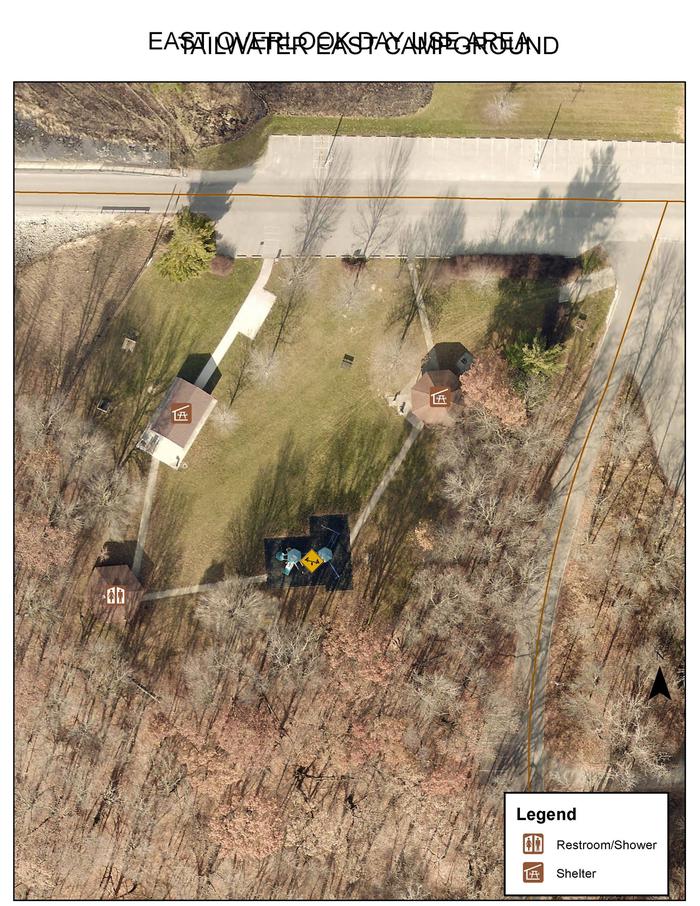
East Overlook Day Use Area is a day-use facility located on the east side of the Coralville Lake Dam. Coralville Lake is a multiple use project providing benefits in flood control and low flow augmentation, as well as recreation, fish and wildlife management and forest management. Coralville Lake provides many recreational opportunities, including boating, camping, hiking, mountain biking, lake and river fishing, swimming, water skiing, picnicking and hunting.
Recreation
Visitors enjoy Coralville Lake for boating, fishing, swimming and water activities. Anglers will find large and smallmouth bass, crappie, walleye and catfish. Several trails are within the Dam Complex, including Squire Point, Woodpecker Trail, Tailwater Riverwalk and barrier-free Veterans Trail. The Devonian Fossil Gorge is just below the dam, offering a unique opportunity to explore a 375-million-year old sea floor and discover fossil remains of sea life that once inhabited this tropical marine environment. Twenty discovery points can be found throughout the site along with a cell phone audio tour. Turkey Creek Disc Golf Course is located in the Dam Complex and offers nine partially wooden and open holes.
Facilities
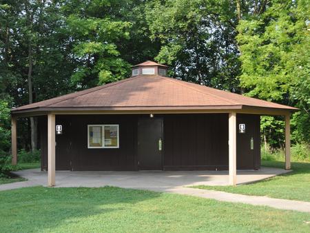
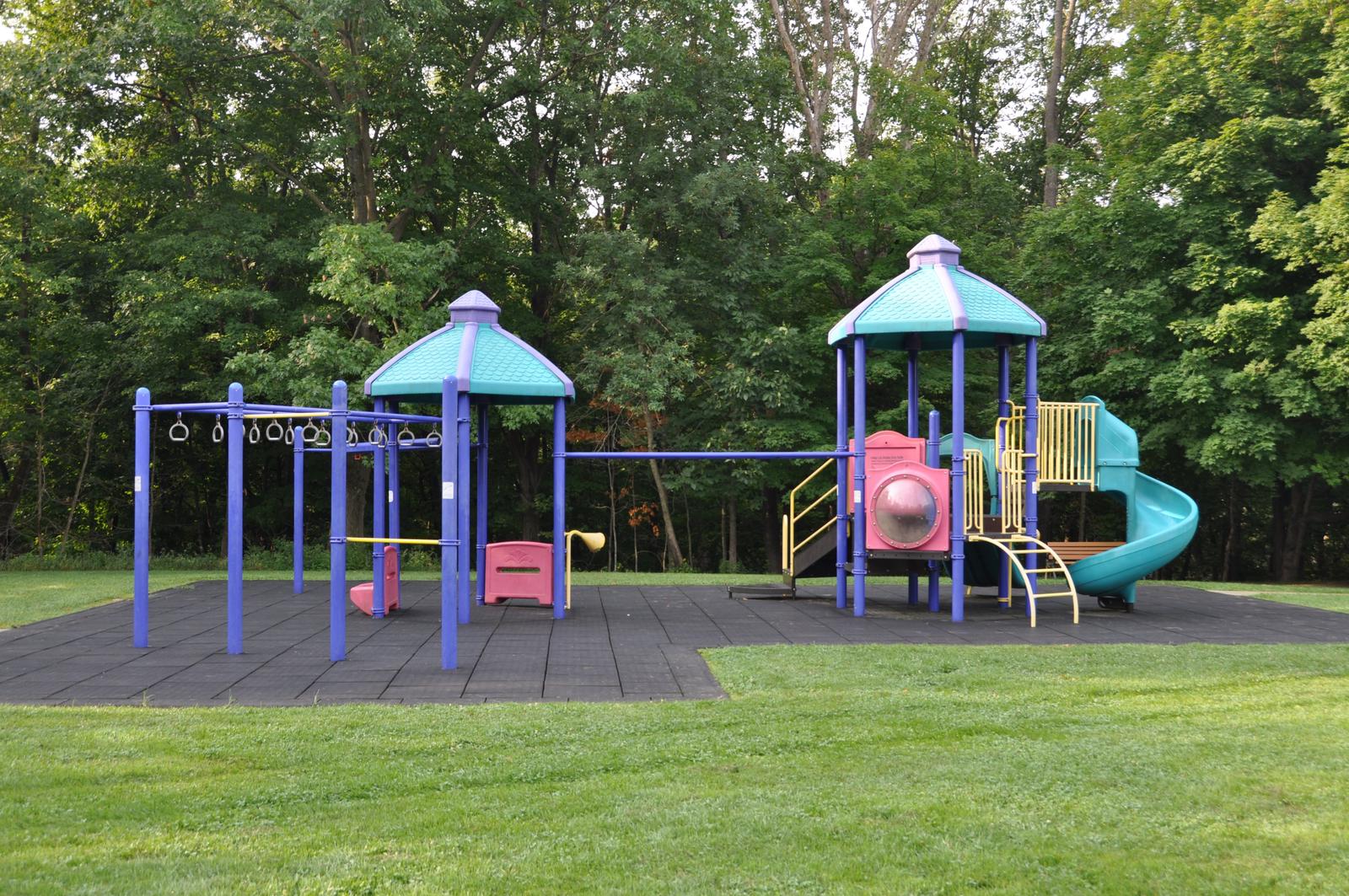
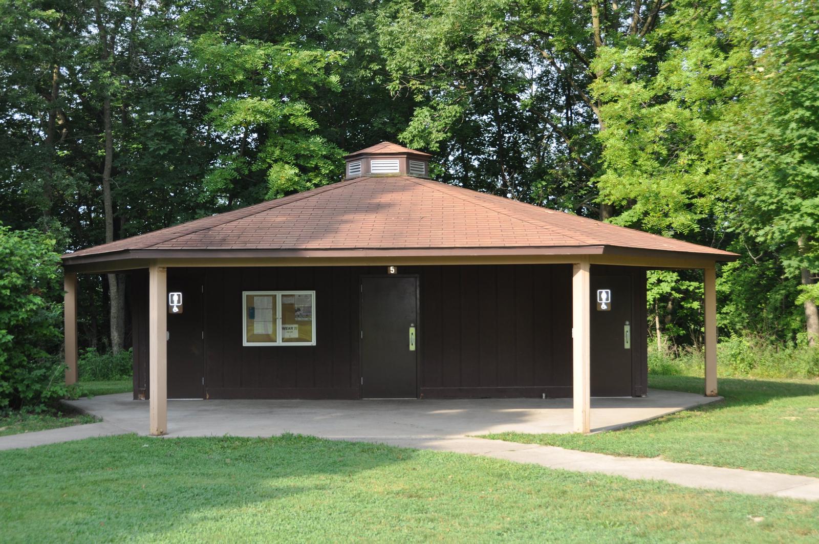
The day-use location offers two large group picnic area with water and electric hookups. Amenities include flush toilets, playground, horseshoe pit and accessible hiking trail.
Natural Features
Coralville Lake is located in the Iowa River Valley, just north of Iowa City. East Overlook Day Use lies among a heavily wooded forest of mixed hardwood species on the east side of the dam. Wildlife is abundant throughout the project. White-tailed deer, turkey, pheasant, waterfowl, song birds and other species roam the lands around the lake.