LUNA WHITE DEER CAMPGROUND, WI Campground Reservation, Info, Images, Map, Directions

LUNA WHITE DEER CAMPGROUND, Wisconsin Campground Images, Info & Reservations

Listen

Directions

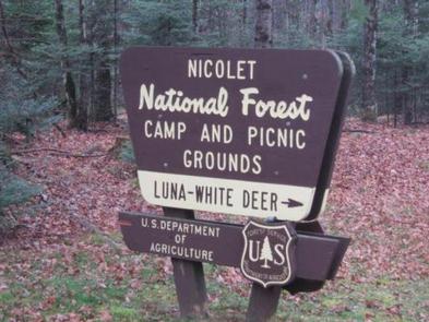
From Eagle River, travel 13.4 miles on STH 70 to FR2176 (Divide Road). Turn right (south) and continue 5.6 miles to FR2188. Turn right and travel 0.7 miles to the campground.

Phone

(715) 479-2827

Activities

BIKING, BOATING, CAMPING, FISHING, WILDLIFE VIEWING, SWIMMING SITE

Keywords

Related Link(s)

Rec Area Info & Images

Wisconsin State Road Conditions

Wisconsin State Tourism

Overview

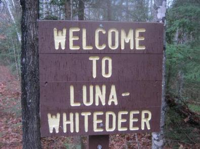
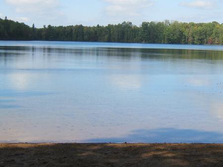
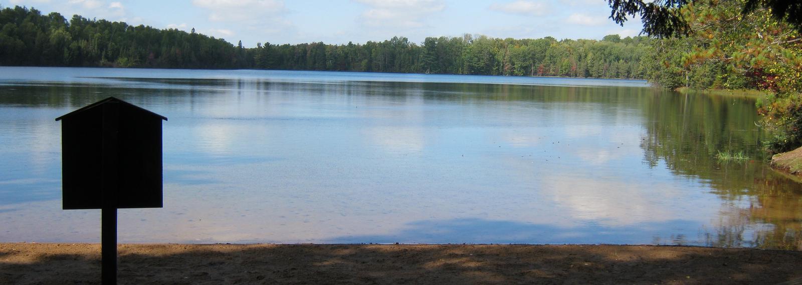
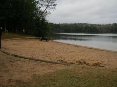
Nestled between two deep clear lakes, Luna-White Deer Campground provides a north woods experience where you can hear the call of the loons at night and see lots of wildlife by day. Half of the campsites front on the two non-motorized lakes. A four-mile trail with great vistas circles the two lakes.

Recreation

The lakes provide visitors ample opportunities for non-motorized boating, swimming and fishing. Anglers can expect a catch of largemouth bass, rock bass, perch, pumpkinseed and bluegill in both lakes as well as rainbow trout in White Deer Lake. A four-mile-long trail circles the two lakes and connects with over 30 miles of additional trails, including the Anvil National Recreation Trail. A variety of wildlife make its home in the area including resident American bald eagles in the towering pines along the shore and loons, which call into the night.

Facilities

The campground offers 37 single family campsites, available for tent or RV camping. The campground offers both first-come, first-served campsites as well as sites which can be reserved in advance. Sites are equipped with tables and fire rings with grills. Vault toilets and drinking water are available throughout the campground.

For more information about the Luna White Deer area, view theRecreation Opportunity Guide (PDF).

Natural Features

The campground is situated in a dense mixed species forest, at an elevation of 1,735 feet. The adjacent lakes offer anglers opportunities to catch fish or the ability to relax on a sandy beach.

Nearby Attractions

The City of Eagle River is located about 19 miles northwest of the campground. Eagle River offers a variety of services and activities throughout the year.

Reservation

More from CampingHiking.net:

CHERRYVALE PARK, Kansas Campground Images, Info & Reservations

Listen Directions From Highway 169 in Cherryvale, Kansas, turn east onto Main Street. Continue through the town and turn right onto Olive Street. After half a block turn left onto County Route 5000. Continue 4.5 miles to the lake and follow signs to the park. Phone 620-328-2050 Activities BOATING, CAMPING,

FISH CREEK PAVILION, Idaho Campground Images, Info & Reservations

Listen Directions From Grangeville, head south on Grangeville-Salmon Road for approximately 7 miles to the Fish Creek Meadows area. Turn right onto Forest Road 4600. The entrance to Fish Creek Pavilion is located 300 feet ahead on the left. Phone 208-983-1950 Activities CAMPING, HIKING, HORSEBACK RIDING Keywords None Related Link(s)

CATHEDRAL ROCK PICNIC AREA, Nevada Campground Images, Info & Reservations

Listen Directions From Las Vegas, Nevada, take Highway 95 north to junction with Highway 157/Kyle Canyon. Turn left and travel approximately 21 miles to the picnic area at the end of the highway. Phone 702-872-5486 Activities CAMPING, HIKING, DAY USE AREA Keywords CATH,MOUNT CHARLESTON,LAS VEGAS,SPRING MTNS NAT. REC. AREA,HUMBOLDT-TOIYABE NF-FS

FINDLEY CAMPGROUND, California Campground Images, Info & Reservations

Listen Directions Take Interstate 80 to the Truckee/Highway 89 North exit. Follow Highway 89 north for 17 miles, to the Jackson Meadows turnoff. Travel west on Forest Road 07 for 18 miles, to Jackson Meadows Reservoir. Proceed across the dam and continue on a paved/gravel road for approximately four miles.

RED IVES CABIN, Idaho Campground Images, Info & Reservations

Listen Directions From St. Maries, Idaho: Follow paved Forest Highway 50 (St. Joe River Rd) 47 miles to Avery. Continue 29 more miles along FH-50 to the Red Ives Road #218. Turn right (south) on road #218 and travel 10 miles upstream to the Red Ives Ranger Station. The Red