
Directions
From McCloud go east on US Hwy 89 south for 16 miles to Forest Service Road 15/Harris Spring Rd. Turn left on Road 15 and go 4.4 miles to Forest Service Road 49/Medicine Lake Road. Follow the signs 27.5 miles to Medicine Lake. From Tulelake take US Hwy 139 south for 21 miles to Forest Service Road 97. Turn right on Road 97 and go 24 miles turning right on Road 49. Drive 2 more miles turning left into the entrance of Medicine Lake Recreation Area. Follow the signs to your final campground destination.
Phone
530-667-2246 OR 530-667-8659
Activities
BOATING, CAMPING, HIKING, SWIMMING SITE
Keywords
Related Link(s)
California State Road Conditions
Overview
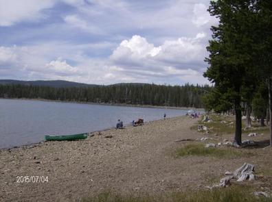
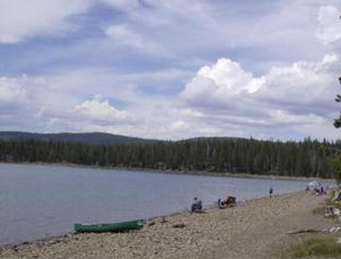
The popular Medicine Lake Recreation Area and adjacent Medicine Lake are located in the Medicine Lake Highlands in northeastern California. The Recreation Area is located in the Modoc National Forest at an elevation of 6,770 feet.
Recreation
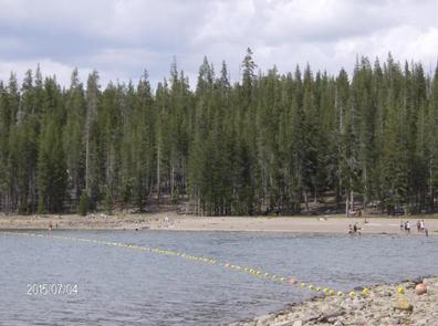
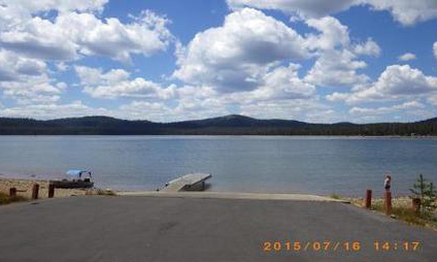
The Medicine Lake Recreation Area offers camping, boating, fishing and swimming. The adjacent Day Use Areas accommodate boating with a concrete boat ramp and dock. Swimming is available in a designated swimming area next to the Picnic Area. Hiking and mountain biking are available on trails originating in the Recreation Area. The longest of these trails is the trail up Little Mt Hoffman.
Facilities
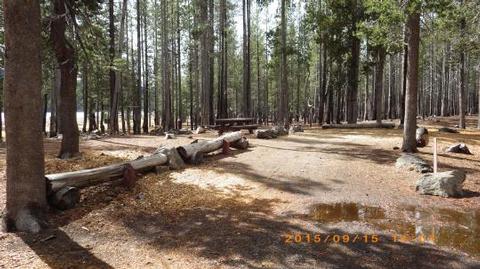
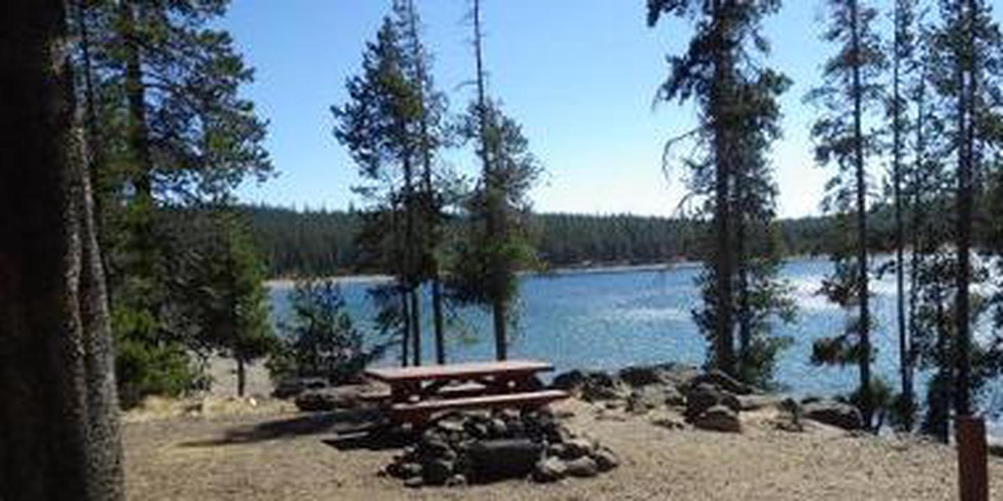
The Medicine Lake Recreation Area is comprised of four campgrounds; Medicine, A.H. Hogue, Hemlock and Headquarters Campgrounds. Nearby the campgrounds are Picnic Area and Boat Launch sites. Campsites vary between somewhat rugged with limited parking space to larger areas suitable for recreation vehicles. Facilities include vault toilets, water hydrants and garbage dumpsters. Campsites include a picnic table, fire ring and a barbeque grill. There are a total of 75 campsites throughout the four campgrounds. Fifteen of these sites are available for advanced reservations and located within the Medicine and A.H. Hogue Campgrounds.
Natural Features
Medicine Lake Recreation Area is nestled along Medicine Lake and mostly sheltered by mature lodgepole pine trees but can be windy at times. The Recreation Area lies adjacent to the Medicine Lake Lava Flow which is accessible by a short hike. The Glass Mtn. and Burnt Lava Flow Geologic Areas are located within a 15-minute drive.
Nearby Attractions
Nearby are a few other federal sites with interesting features. The Lava Beds National Monument is located within a half-hour drive and includes lava caves and tubes. The Tulelake National Wildlife Refuge is located within an hour’s drive where many types of migratory waterfowl can be viewed.