
Directions
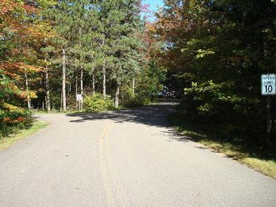
Follow U.S. Highway 2 east of the city of Cass Lake for 4 miles to the entrance of Norway Beach Recreation Area.
Phone
218-835-4291
Activities
BIKING, BOATING, CAMPING, FISHING, HIKING, WATER SPORTS, WILDLIFE VIEWING, SWIMMING SITE
Keywords
Cass Lake Campground,Annex Campground
Related Link(s)
Minnesota State Road Conditions
Overview
Cass Lake Loop is part of the Norway Beach Recreation Area on beautiful Cass Lake in north central Minnesota. Visitors enjoy the area for its excellent boating and fishing opportunities.
Recreation
Cass Lake offers many recreational activities, including boating, canoeing, water skiing and swimming. Anglers fish for walleye, Northern pike, perch and trophy muskie. A boat ramp is nearby.
Star Island, in the middle of Cass Lake, is a unique feature of the Chippewa National Forest. Six miles of trails wind around the island, which is home to 199-acre Lake Windigo.
Hiking and biking trails are available in the area, including the Migizi Bike Trail and the Norway Beach Trail.
The Norway Beach Visitor Center is nearby. This building, with its magnificent fireplace, is a monument to the talents and craftsmanship of Civilian Conservation Corps (CCC) enrollees. Programs and displays depict Dakota and Ojibway heritage and the area’s flora and fauna.
Special annual events are held at the center including a Kids Fishing Day in June, Bald Eagle Day in July and Smokey Bear’s Birthday Party in August. Interpretive programs are offered Wednesdays, Fridays and Saturdays from Memorial Day through Labor Day.
Facilities
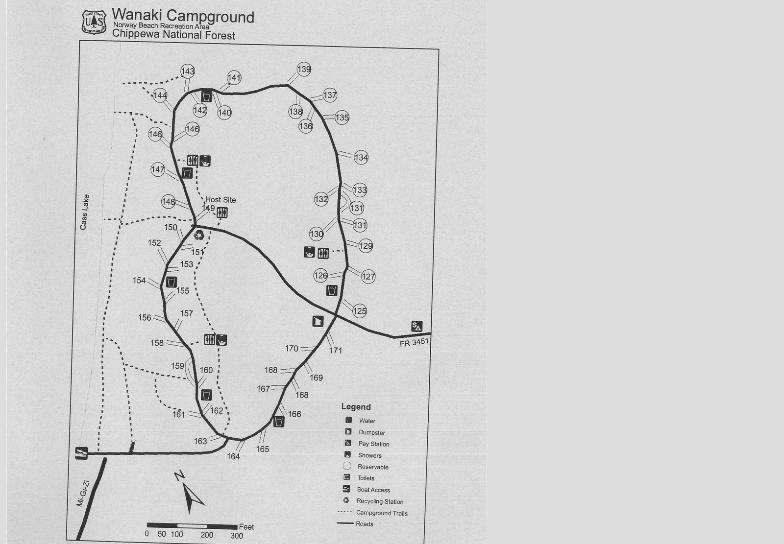
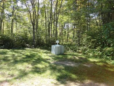
The campground offers several single-family sites, two of which are accessible. Accessible vault toilets and a hand pump for water are also available.
Natural Features
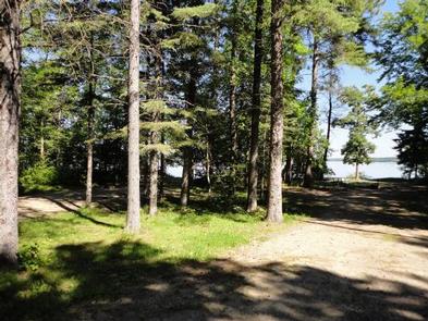
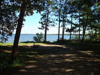
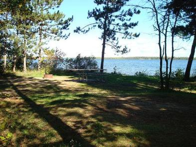
The campground is located on the banks of Cass Lake, among a scenic forest of mature red and white pine.
Cass Lake is the largest of eight lakes that make up the Cass Lake Chain of Lakes. The lake covers nearly 16,000 acres and has 27 miles of forested shoreline and sandy beaches.
Nearby Attractions
The town of Cass Lake, Minnesota is 4 miles west of the campground, offering restaurants, a bank, grocery and hardware stores, a movie theater and museum.