
Directions
From Denver, Colorado, take Highway 285 southwest to Pine Junction, turn south on Jefferson County 126 and travel 15 miles to Buffalo Creek. Turn right on Forest Road 550 and drive 5 miles to the Meadows Group Campground.
Phone
303-275-5610
Activities
BIKING, CAMPING, FISHING, HIKING
Keywords
MEAG,BUFFALO CREEK,GREEN MOUNTAIN,RED SKIN,PIKE AND SAN ISABEL NF- FS
Related Link(s)
Colorado State Road Conditions
Overview
Meadows Group Campground offers a wonderful opportunity for groups to enjoy the great outdoors. Located just 45 miles south of Denver near the town of Buffalo Creek, Colorado, the campground provides easy access to trout fishing, hiking and mountain biking.
Recreation
Several trailheads for mountain biking, hiking and horseback riding are within a half mile radius of the campground. The Buffalo Creek mountain bike area and the Lost Creek Wilderness Area can be accessed from the campground via the Colorado Trail.
Buffalo Creek is a popular fishing area for brook trout.
Facilities
Two group campsites are available and each one fits up to 150 campers. Accessible picnic tables and vault toilets are onsite. A communal water hydrant is available but it is recommended that campers bring their own drinking water. Firewood is available at Buffalo Campground, a half-mile east on Forest Road 550.
Natural Features
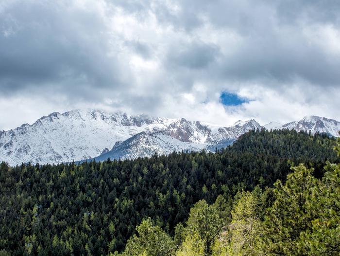
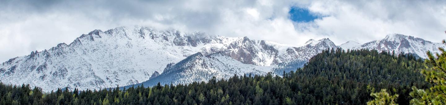
The campground sits at an elevation of 7,400 feet in the Front Range of the Rocky Mountains. Temperatures are generally mild. About 67 miles south is Pikes Peak at an altitude of 14,110 feet. It is heralded as the easternmost mountain peak over 14,000 feet in the United States.
Nearby Attractions
Head to Wellington Lake or hike up one of the many peaks like Little Scraggy Peak.