
Directions
From Cedar City, Utah, take Highway 14 east for 11 miles. Campground is located just below the S turn on your left.
Phone
801-226-3564
Activities
CAMPING, HIKING, MOUNTAIN BIKING, SCENIC DRIVE
Keywords
CED2,CEDAR CITY,CEDAR BREAKS NAT. MONUMENT,DIXIE NF – FS
Related Link(s)
Overview
Cedar Canyon Campground is located conveniently close to Cedar City, Utah, only 11 miles east. Visitors can enjoy hiking, biking and day-tripping to nearby Cedar Breaks National Monument.
Recreation
Cedar Canyon is just 8 miles from Cedar Breaks National Monument, with hiking trails, guided tours and breathtaking scenery. Just outside Cedar Breaks is the Ashdown Gorge Wilderness Area, where hikers will find 10 miles of trails and the Twisted Forest, a stand of ancient bristlecone pine. The 34-mile Virgin River Rim Trail is located near the campground with a short drive for access and is open to hiking, mountain biking and horseback riding.
Facilities
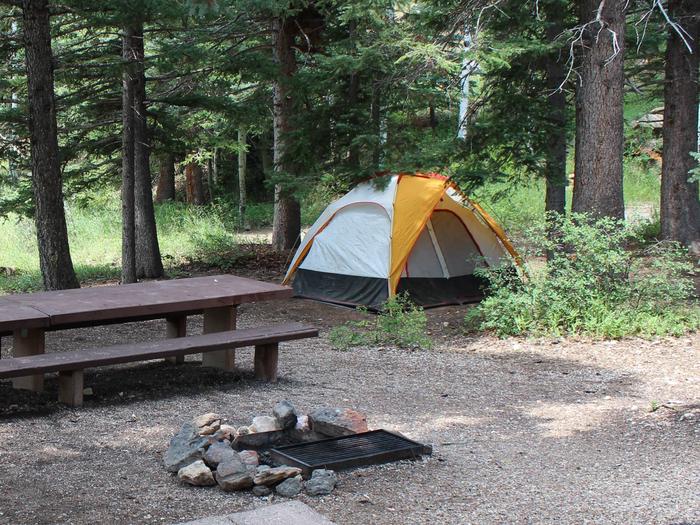
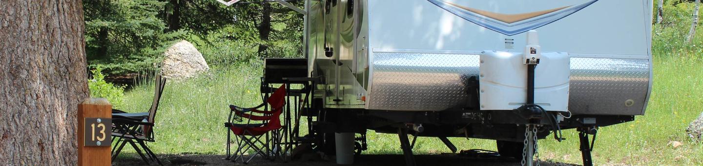
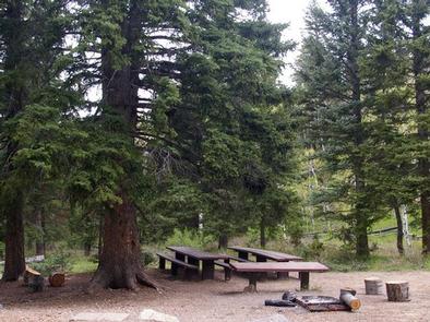
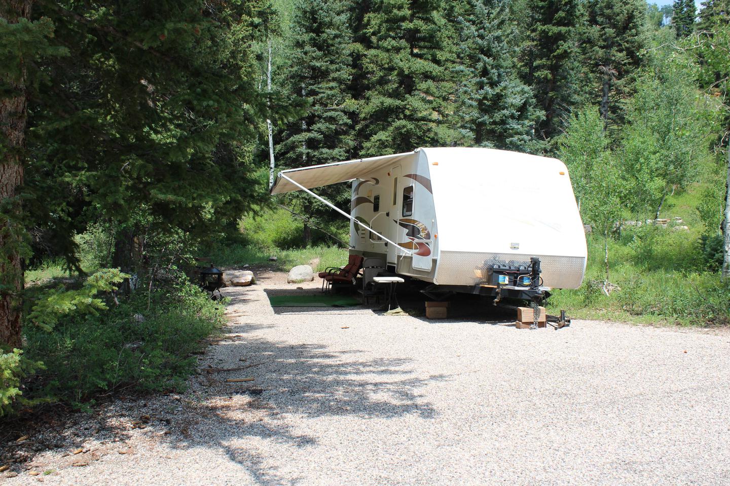
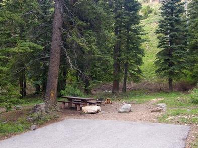
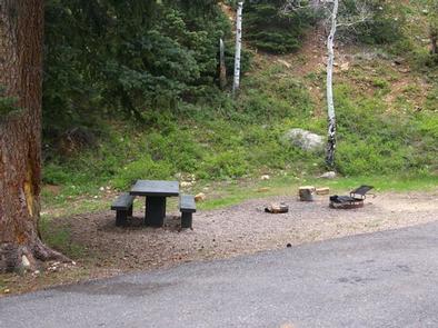
The campground offers a small group site and several family sites. Vault toilets and drinking water are provided but no showers are available. Roads and spurs are paved.
OHV/ATV’s including street legal are not allowed in the campground.
Natural Features
Crow Creek flows alongside the campground, which is settled on the western edge of the Colorado Plateau at an elevation of 8,100 feet. A forest of fir and aspen covers the site, providing shade in most campsites.
Nearby Attractions
Cedar Canyon is close to many areas with excellent recreational opportunities. Navajo Lake and Duck Lake are both within 20 minutes, offering boating, canoeing and fishing. The Markagunt ATV Trail System is easily accessed 5 miles to the east. OHV’s are not allowed in the campground.