
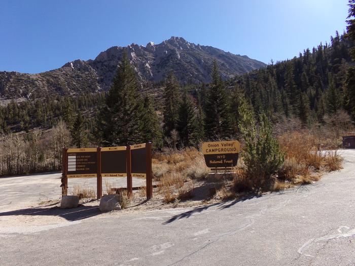
Directions
The campground is 13 miles west of the town of Independence, California. Take U.S. Highway 395 to Independence. Turn west on Market Street, which turns into Onion Valley Road. Follow Onion Valley Road for 13 miles to the campground.
Phone
760-937-6070
Activities
CAMPING, FISHING, HIKING, HORSEBACK RIDING, WILDLIFE VIEWING
Keywords
ONIO,INYO NF – FS
Related Link(s)
California State Road Conditions
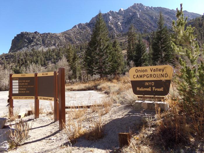
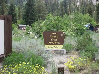
Overview
This quiet campground is set amidst breathtaking scenery of rugged mountain peaks, thick forests and waterfalls in the Onion Valley area of the eastern Sierra Nevada Mountains.
Its location on the creek and proximity to the John Muir Wilderness make it a popular hub for hikers, anglers, photographers and those who want to relax in a peaceful, natural setting.
Recreation
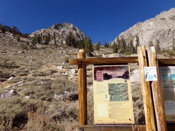
Majestic scenery and challenging trails draw campers to the Onion Valley area for hiking and horseback riding. The campground is near Kearsarge Pass, Robinson Lake and Golden Trout Lakes Trailheads, which access several alpine lakes and mountain peaks within the John Muir Wilderness, as well as Sequoia and Kings Canyon National Park.
The eastern Sierras are also known for exceptional trout fishing. From the campground, anglers can try for rainbow, brown, brook and Alpers trout in Robinson Lake and a nearby creek.
Facilities
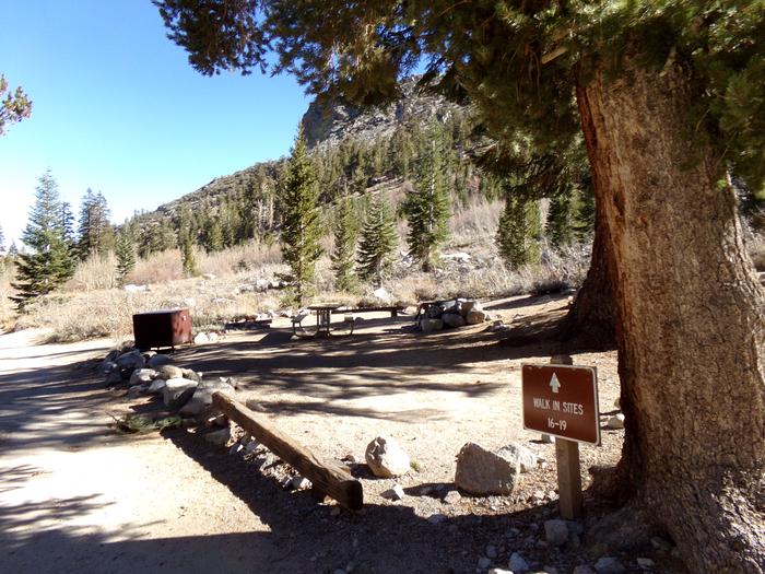
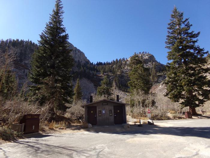
The campground is tucked away near the end of Onion Valley Road. Campsites are private and primitive, and every site has a scenic view. Amenities include vault toilets, and bear-proof food storage lockers, which campers are required to use. Firewood is for sale on-site.
Natural Features
Situated at an elevation of 9,200 feet, the campground is surrounded by the towering peaks of the John Muir Wilderness and immersed in shrubs, lodgepole pine and aspens. Lovely wildflowers color the landscape in late spring and early summer. The campground is adjacent to a creek and lake.
The area is home to abundant wildlife, including black bear,which frequent the campground, mountain lions, mule deer, pine martin, pika and many species of fish and birds.
Nearby Attractions
Campers can enter the John Muir Wilderness, a land of lofty snow-capped mountains, deep canyons and vast expanses of glacially carved terrain, via nearby trails. Some trails lead into Sequoia and Kings Canyon National Park to the west.