HAT CREEK, CA Campground Reservation, Info, Images, Map, Directions

HAT CREEK, California Campground Images, Info & Reservations

Directions

From Highways 44 and 89, go through Old Station and continue 1.5 miles west to the campground.

Phone

530-336-5521

Activities

CAMPING, FISHING

Keywords

HATC,LASSEN NF – FS

Related Link(s)

Rec Area Info & Images

California State Tourism

California State Road Conditions

Overview

Hat Creek is one of six campgrounds available in the Hat Creek Recreation Area, home to some of the area’s best trout fishing. Scenic hiking trails and an active volcanic area can easily be accessed from the facility.

Recreation

Hat Creek is popular for its trophy trout fishing. The cold waters of the creek allow for a refreshing play on hot summer days. Other popular activities in the area include wildlife viewing, hunting, backpacking, hiking and caving.

A variety of day hikes are available in the area, including the Spatter Cones Nature Trail, which is located just across the highway from the campground. The 1.5-mile loop trail provides hikers with a unique opportunity to explore craters, cones and crevices, as well as other geologic features left by the Hat Creek Lava Flow.

Nearby, visitors can take a self-guided tour of Subway Cave. The trail is less than a half-mile long and explores the underground world of a lava tube. Visitors are encouraged to bring flashlights for hiking through the cave.

Facilities

Hat Creek offers three group campsites that can accommodate up to 50 people each. Individual sites are also available on a first-come, first-served basis.

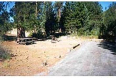
Picnic tables and campfire rings with grills are provided, as are accessible flush and vault toilets, utility sinks and drinking water. The RV dump-station is located 1.5 miles north of the campground behind the Old Station Visitors Center.

Natural Features

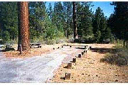
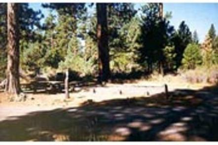
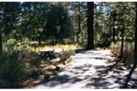
The campground is situated next to Hat Creek in a mixed conifer forest at an elevation of about 4,390 feet. Pine needles, grasses and volcanic rocks cover the forest floor. Sites are widely spaced for privacy.

Nearby Attractions

The campground is located about a mile west of the town of Old Station, and 12 miles east of the northwest entrance to Lassen Volcanic National Park, where active, hissing fumaroles and boiling mud pots are continually shaping the landscape.

The Pacific Crest National Scenic Trail can be accessed near the Spatter Cones Nature Trailhead.

Reservation

More from CampingHiking.net:

RAINBOW (OR), Oregon Campground Images, Info & Reservations

Directions From Estacada, travel east on Highway 224/Road 46 for 26 miles to the campground. Phone 503-630-5721 Activities CAMPING, FISHING, HIKING, WATER SPORTS, WILDLIFE VIEWING Keywords RAIB,MT. HOOD NF – FS Related Link(s) Rec Area Info & Images Oregon State Road Conditions Oregon State Tourism Forest Service Concessionaire Overview Rainbow

CROOK CAMPGROUND, Arizona Campground Images, Info & Reservations

Directions From Heber: Travel 25 miles west on State Highway 260. Turn right onto Forest Road 300 which is located directly across from the Rim Visitor Information Station. Travel about 4 miles north of State Highway 260 toward Woods Canyon Lake. Turn right onto Forest Road 105 toward Woods Canyon

CUB RIVER GUARD STATION, Idaho Campground Images, Info & Reservations

Directions From Preston, Idaho, head approximately 3 miles south on U.S. Highway 91. Turn east on Cub River Road/Forest Road 406. Proceed about 10 miles to the guard station. This road is heavily traveled throughout the summer with other recreationists, so please travel slowly and use caution. Phone 208-847-0375 Activities

MAPLE SPRINGS, Kentucky Campground Images, Info & Reservations

Directions Directions from the North: Take Interstate 65 to Exit 53 (Cave City Exit). Turn right onto KY-70. Follow 70/255 as it becomes the Mammoth Cave Parkway in the park. Follow the Mammoth Cave Parkway towards the Visitor Center. Turn left on the Green River Ferry Road. Cross the ferry

CALF CREEK CABIN, Montana Campground Images, Info & Reservations

Directions From White Sulphur Springs, head east on Highway 12 for 3 miles and turn left (north) on Highway 89. Continue about 15 miles, then head west (left) on Road 119 for 9 miles to the cabin. From Great Falls, head east on Highway 87/89 about 23 miles to the

DAVIDSON RIVER, North Carolina Campground Images, Info & Reservations

Directions From Asheville, North Carolina, take I-40 West to I-26 East to Exit 40 (Airport Road/Asheville Regional Airport), onto State Highway 280. Continue south 15.5 miles on 280 to Pisgah National Forest. Turn right at the intersection of Highway 280/64/276. Go north on 276 for 1 mile. Follow signs to