GURNSEY CREEK, CA Campground Reservation, Info, Images, Map, Directions

GURNSEY CREEK, California Campground Images, Info & Reservations

Directions

From the town of Chester, follow Highway 36 west for about 14 miles. Gurnsey Creek Campground is located on the right side of the highway, about 2 miles past the Highway 32 turnoff.

Phone

530-258-2141

Activities

CAMPING, FISHING, HIKING

Keywords

GURN,LASSEN NF – FS

Related Link(s)

Rec Area Info & Images

California State Road Conditions

California State Tourism

Overview

Gurnsey Creek Campground is located in the mountains of northern California. It offers access to a variety of nearby recreational opportunities, including hiking, fishing and picnicking.

Recreation

The area provides access to plentiful hiking trails, picnic spots and rainbow trout fishing.

Facilities

Dozens of individual campsites and two reservable group sites are available at Gurnsey Creek Campground. Group Site 1 can accommodate up to 56 people; Group Site 2 can accommodate up to 112 people.

Picnic tables and campfire rings with grills are provided, as are accessible vault toilets and drinking water. No utility hookups are provided. A water-filling station is located at the campground entrance. Parking is limited within the campground.

Natural Features

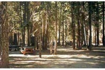
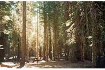
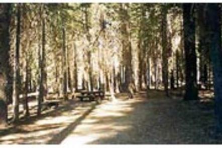
The campground is nestled in a mixed conifer forest in the Lassen National Forest at an elevation of 4,700 feet. It is located next to Gurnsey Creek.

Nearby Attractions

The campground is located 14 miles west of the town of Chester and Lake Almanor, where boating, fishing, sailing and water skiing are popular activities.

The southwest entrance to Lassen Volcanic National Park is about 14 miles north. The park is known for its active hissing fumaroles and boiling mud pots that continually shape and alter the landscape.

Reservation

More from CampingHiking.net:

POSEY LAKE CAMPGROUND, Utah Campground Images, Info & Reservations

Directions From Highway 12 in Escalante, turn north at 300 East at the elementary school at the Posey Lake/Hell’s Backbone sign. Travel 14 miles to junction of Forest Roads 153 and 154, keep left and travel 2 miles to Posey Lake Campground. Site access can be difficult; about 14 miles

SHADY CREEK, Iowa Campground Images, Info & Reservations

Directions From Davenport, Iowa, drive west on Highway 22 about 17 miles and turn at the Shady Creek sign. Phone 563-419-0857 Activities BOATING, CAMPING, FISHING, HIKING, DAY USE AREA Keywords SHAD,MISSISSIPPI RV. RI Related Link(s) Rec Area Info & Images Iowa State Tourism Iowa State Road Conditions Overview Shady Creek

GOULDING LAKE CABIN, Alaska Campground Images, Info & Reservations

Directions Accessible late May through October. Otter Lake, one of four lakes in the Goulding Lakes System, is located about 60 miles northwest of Sitka on the western edge of Chichagof Island. Access is by floatplane only, about a 50-minute flight from Sitka or Juneau. Refer to USGS topographic map

BOISE CREEK, California Campground Images, Info & Reservations

Directions From Willow Creek, California, take State Route 299 for 2 miles west. Enter the campground directly from the highway. Phone 530-629-2118 Activities BIKING, BOATING, HISTORIC & CULTURAL SITE, CAMPING, FISHING, HIKING, HUNTING, VISITOR CENTER, WATER SPORTS, WILDLIFE VIEWING, SWIMMING SITE Keywords BOCR,Boise Creek Campground Related Link(s) Rec Area Info

SWAN CREEK CAMPGROUND, Montana Campground Images, Info & Reservations

Directions From Bozeman, travel south on Highway 191 for 30 miles to the Swan Creek turnoff. Turn left and go a half-mile to the campground. From West Yellowstone, travel 58 miles north on Highway 191. Turn right at Swan Creek turnoff and go a half-mile to the campground. Phone 406-646-1012