
Directions
From Hannibal: Travel west on Highway 36 for 20 miles, then southwest on Highway 24 for 6 miles. Continue south on Rt. HH for 2 miles, then east on Monroe CR #581 for 3 miles.
From Monroe City: Travel 6 miles southwest on Highway 24, then south on Rt. HH for 2 miles. Continue east on Monroe CR #581 for 3 miles.
From Paris: Travel northeast on Highway 24 for 14 miles, then south on Rt. HH for 2 miles. Continue east on Monroe County Road #581 for 3 miles.
From Perry: Travel west on Highway 154 for 7 miles, then north on Highway 107 for 9 miles. Continue northeast on Hwy 24 for 3 miles, then south on Rt. HH for 2 miles. Go east on Monroe County Rd. #581 for 3 miles.
Phone
573-735-4097
Activities
BIKING, BOATING, CAMPING, DAY USE AREA, SWIMMING SITE
Keywords
IND4,MARK TWAIN LAKE,CLARENCE CANNON DAM,MARK TWAIN LAKE
Related Link(s)
Missouri State Road Conditions
Overview
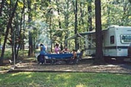
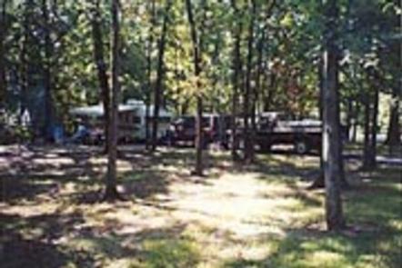
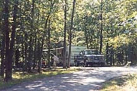
Indian Creek lies on the northern banks of Mark Twain Lake. It is the largest campground on the lake with 215 standard campsites, plus additional non-electric and tent-only sites.
The lake is named for the beloved writer and humorist, Mark Twain, who was born just south of the lake in Florida, Missouri.
Recreation
Boating is convenient with Indian Creek’s public boat ramp. Bass fishing and hunting are also popular.
Facilities
Indian Creek provides four recreation areas: a public boat ramp, group campground, day-use area and the standard campground.
The group camp provides 25 electric campsites, group shelter, restroom, shower and playground. The Day-Use Area provides group shelter, picnic sites and playground.
The campground offers 190 campsites, 20 primitive hike-in campsites, showers, restrooms, playgrounds, a fish cleaning station, boat ramp, beach, hiking trails.
Natural Features
Mark Twain Lake is sourced by the Salt River in northeast Missouri. The Clarence Cannon Dam sits on the eastern edge of the lake, providing flood control and hydroelectricity to the region, in addition to an extensive habitat for wildlife.
Nearby Attractions
While visiting the area, tour the birthplace of the world-famous humorist and writer Mark Twain in the nearby Mark Twain State Park.
The David C. Berti Shooting Range is located below the dam.