PIONEER TRAIL, CA Campground Reservation, Info, Images, Map, Directions

PIONEER TRAIL, California Campground Images, Info & Reservations

Directions

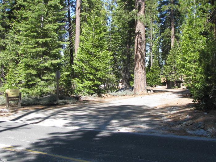
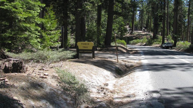
From Sonora, California, take Highway 108 east for about 30 miles. Exit at Pinecrest Lake and turn right on Dodge Ridge Road. Continue 1 mile to Pioneer Trails Campground, located on the left.

Phone

209-965-3474

Activities

BOATING, CAMPING, FISHING, HIKING, SWIMMING SITE

Keywords

PION,STANISLAUS NF -FS

Related Link(s)

Rec Area Info & Images

California State Tourism

Forest Service Concessionaire

California State Road Conditions

Overview

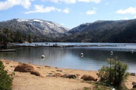
Pioneer Trail Group Campground offers groups of up to 100 people the opportunity to camp near the beautiful Pinecrest Lake. The campground is located within the Pinecrest Recreational Area just 2 miles from the lake, which beckons visitors with excellent fishing, boating, hiking and swimming opportunities.

In this spectacular mountain region, wildlife viewing opportunities include marmots, squirrels, coyotes and deer.

Recreation

The Pinecrest Lake National Recreation Trail takes hikers on an easy 4-mile stroll around Pinecrest Lake. Rainbow trout is a common catch in the lake and swimming is enjoyed in designated beach areas.

Facilities

Campsites 1 and 3 will accommodate up to 50 campers and Site 2 will accommodate up to 100 campers. Each site features a large campfire circle, picnic tables and vault toilets. No RV hookups or electricity are available. Pay showers are within a few miles. Winter camping is available on a first-come, first-served basis. Pets are welcome, but must be compliant with Tuolumne County leash laws.

Natural Features

Pioneer Trail sits at an elevation of 5,600 feet, in a wooded area near the southwest side of the 300-acre Pinecrest Lake in Stanislaus National Forest.

Stanislaus National Forest is located in the central Sierra Nevada Mountains, between Lake Tahoe and Yosemite. It boasts gorgeous views of snow-capped mountain peaks and California’s Great Central Valley.

Nearby Attractions

The nearby Sonora Pass is a scenic winding highway that has guided people across the Sierra Nevada since 1852.

Reservation

More from CampingHiking.net:

COBB RIDGE, Missouri Campground Images, Info & Reservations

Directions From Chadwick, Missouri, take Highway 125 south about 2 miles, then turn right onto Highway H and continue past Camp Ridge day-use area, turning right onto Lookout Road (the first portion of lookout road is paved – if you get to the gravel you have gone to far) to

JUMBO ROCKS CAMPGROUND, California Campground Images, Info & Reservations

Directions Take Interstate 10 to State Highway 62. Turn south on Park Blvd. Continue 5 miles to the West Entrance; Jumbo Rocks is approximately 18 miles from the entrance. If coming from the east, taking Interstate10, take the Desert Center exit north onto State Highway 177. Continue on State Highway

Sand Flats Recreation Area, Utah Campground Images, Info & Reservations

Directions Directions from Your Location: The Entrance Station for the Sand Flats Recreation Area is located around 3000 Sand Flats Rd. We say “around” because there is no actual mailing address for the Entrance Station. Don’t worry though, we have detailed directions. From the South: If heading north on Highway

BIG CREEK CAMPGROUND, Montana Campground Images, Info & Reservations

Directions From Columbia Falls, Montana, follow State Route 486 north for approximately 20 miles to the campground entrance on the right. The road is pavement for 10 miles and gravel for approximately 9 miles. An alternate route through Glacier National Park would be to enter the park through West Glacier.

TYEE PAVILION, Oregon Campground Images, Info & Reservations

Directions From Sutherlin, travel west on Highway 138 for 12 miles. Turn left at the Bullock Bridge, cross over the bridge and immediately turn right onto County Road 57 (Bullock Road). Travel .5 miles to Tyee. Campground is on the right. Phone 541-440-4930 Activities CAMPING, FISHING, SWIMMING SITE Keywords TYPA

LOFERS BEND WEST, Texas Campground Images, Info & Reservations

Directions From I-35 in Hillsboro, take Hwy 22 west 12 miles to Whitney, continue 7 miles past Whitney, and turn right before dam. Follow park road to 4-way stop. Turn left for West Lofers or right for East Lofers. Phone 254-622-3332 Activities CAMPING, SWIMMING SITE Keywords LOFW,WHITNEY LAKE,LAKE WHITNEY,WEST LOFERS