NORTH SHORE (CA), CA Campground Reservation, Info, Images, Map, Directions

NORTH SHORE (CA), California Campground Images, Info & Reservations

Directions

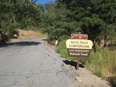
From San Bernardino, take Highway 18 about 20 miles to the Lake Arrowhead exit. Take Highway 173 for 5 miles to the northeast side of the lake. Turn right on Hospital Road and follow it to the campground.

Phone

909-866-8550

Activities

BOATING, CAMPING, FISHING, HIKING, SWIMMING SITE

Keywords

SAN BERNARDINO NF – FS

Related Link(s)

Rec Area Info & Images

California State Road Conditions

California State Tourism

Forest Service Concessionaire

Overview

North Shore Campground is a quiet place to camp, away from the hustle and bustle of nearby cities. The campground is nestled among Southern California’s pine-covered mountains, providing ample opportunity for outdoor relaxation and recreation.

Recreation

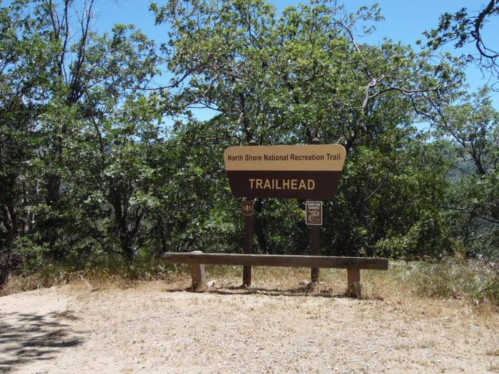
The North Shore National Recreation Trail connects the campground with Papoose Lake (trail is not accessible). The 1.7-mile trail descends through a mixed conifer forest and settles along Little Bear Creek, providing scenic views of the surrounding area. Please note, nearby Lake Arrowhead is a private lake.

Facilities

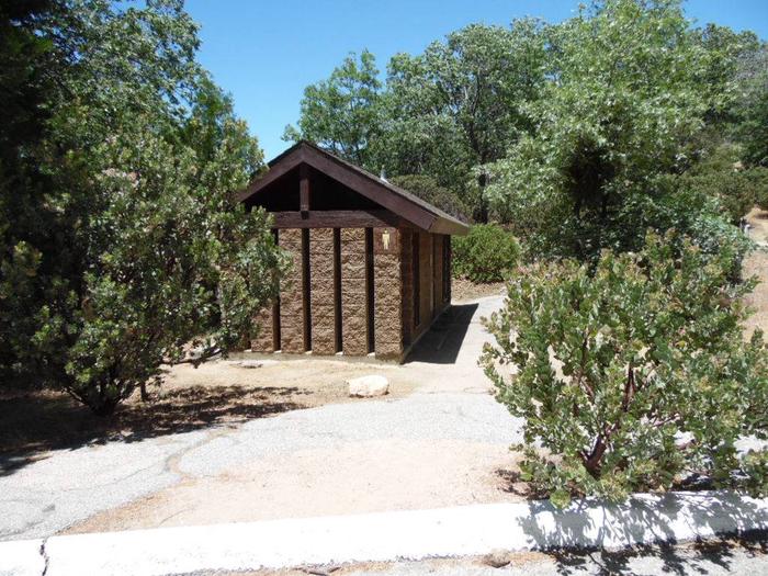
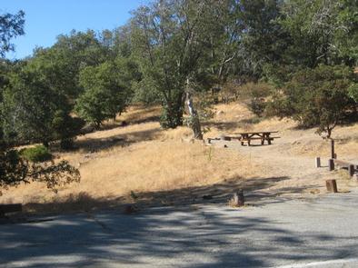
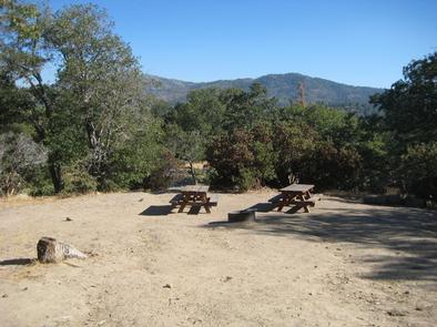
The campground offers multiple single-family campsites, available mostly for tent camping. Some sites can accommodate RVs, but hookups are not available. Each site is equipped with a table and campfire ring with grill. Flush toilets and drinking water are provided.

Natural Features

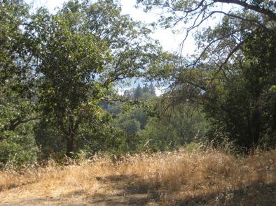
The campground is located 23 miles northeast of San Bernardino in the San Bernardino National Forest. It is about 3 miles from the community of Lake Arrowhead. Settled in an oak woodland environment, the campground is close to many outdoor amenities.

Nearby Attractions

Lake Gregory is located 20 minute away and offers fishing, boat rentals and a waterslide park.

Reservation

More from CampingHiking.net:

ELK CREEK LANDING, Oklahoma Campground Images, Info & Reservations

Directions From Tahlequah, OK, go 14 miles southeast on Highway 82, then turn right and go a mile on the paved access road. Phone 918-487-5252 Activities BOATING, CAMPING Keywords ELCL,TENKILLER LAKE,TENKILLER FERRY LAKE,TENKILLER FERRY Related Link(s) Rec Area Info & Images Oklahoma State Tourism Oklahoma State Road Conditions Overview Elk

MOUNT RYNDA CABIN, Alaska Campground Images, Info & Reservations

Directions Accessible by shallow draft boat and float plane during moderate to high river levels, 18 miles from Wrangell. Low river levels limit small boat access as the Andrews Creek entrance becomes blocked. Tides may affect access; consult local tide tables. A tide of 14 feet or higher is needed

RIVERSIDE AT DETROIT, Oregon Campground Images, Info & Reservations

Directions From Detroit, OR, take Route 22 toward Sisters. Go 14.2 miles to the campground on right side of the road. From Sisters, head toward Detroit on Route 22. Go 43 miles to the campground on the left. Phone 801-226-3564 Activities FISHING, HIKING, BIRDING Keywords Riverside,Riverside Campground Related Link(s) Rec

ASPEN CABIN, Oregon Campground Images, Info & Reservations

Directions From Lakeview, drive 6 miles north on Highway 395 and turn right (east) on Highway 140. Drive for 8 miles on Highway 140 and turn left on Forest Road 3615. Drive 7.5 miles on Forest Road 3615 to arrive at the cabin. The entire route to the cabin is

RUARK BLUFF EAST, Missouri Campground Images, Info & Reservations

Directions From Greenfield, Missouri, take State Highway H. north for 6.4 miles and turn right onto the park access road. Follow signs into the park area. Phone 417-637-5303 Activities BOATING, CAMPING, FISHING, WILDLIFE VIEWING, SWIMMING SITE Keywords RUAR,STOCKTON LAKE,TWIN BRIDGES,STOCKTON LAKE Related Link(s) Rec Area Info & Images Missouri State