

Directions
From Boise, Idaho, take State Highway 55 to Banks. Turn east onto the Banks-Lowman Highway and travel to Lowman. Turn left on Highway 21. The campground is located 5 miles east at milepost 77.
Phone
208-259-3361
Activities
BIKING, CAMPING, FISHING, HIKING, WILDLIFE VIEWING
Keywords
KIRK,BOISE NF – FS
Related Link(s)
Overview
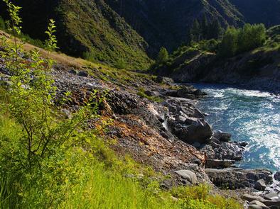
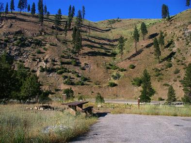
Kirkham Campground is located next to the South Fork Payette River just east of Lowman, Idaho, along Highway 21 at an elevation of 4,000 feet. Visitors enjoy soaking in popular Kirkham Hot Springs on the banks of the river and exploring the scenic Kirkham Ridge Trail.
Recreation
Popular Kirkham Hot Springs is located at the river’s edge within the campground. A trail with staircases leads down to the soaking pools and small steaming waterfalls.
The South Fork Payette River offers whitewater rafting, kayaking and trout fishing. The Deadwood and Danskin River Access areas are nearby.
Kirkham Ridge Trail is one of the Lowman Ranger District’s premier trails. It begins less than 1/4-mile away and stretches through beautiful country for 35 miles, connecting with many other trails in the area. It is open to hiking, mountain biking and horses. Sections of the trail are open seasonally to off-road vehicles.
Facilities
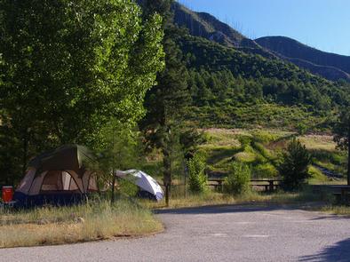
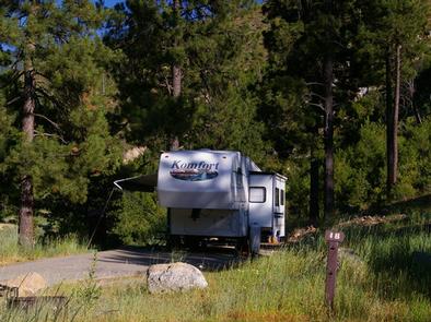
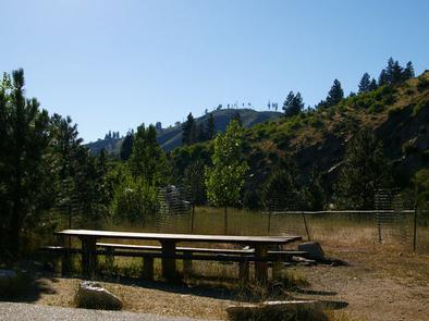
The campground contains several single-family sites and one double site, all of which are accessible. Each site is equipped with a picnic table and campfire ring with grill. Some sites have small picnic shelters for shade.
Vault toilets, drinking water and trash collection are provided. A campground host is on-site. Roads and parking spurs are paved. A small gas station/cafe and mechanic are nearby.
Natural Features
The campground offers little shade, though a few Ponderosa pines are scattered throughout the site. The campground can be very hot and sunny during the summer. Wildflowers dot the landscape.
Nearby Attractions
Numerous natural hot springs pools can be found along Highway 21, also known as the Ponderosa Pine Scenic Byway, and the Banks-Lowman Highway, also known as the Wildlife Canyon Scenic Byway. Both byways offer scenic views, wildlife watching, historical information kiosks and several trail opportunities.
Whitewater rafting and kayaking are popular activities on the South Fork and Main Payette Rivers. Several companies in the area offer guided half and full-day trips.