Directions
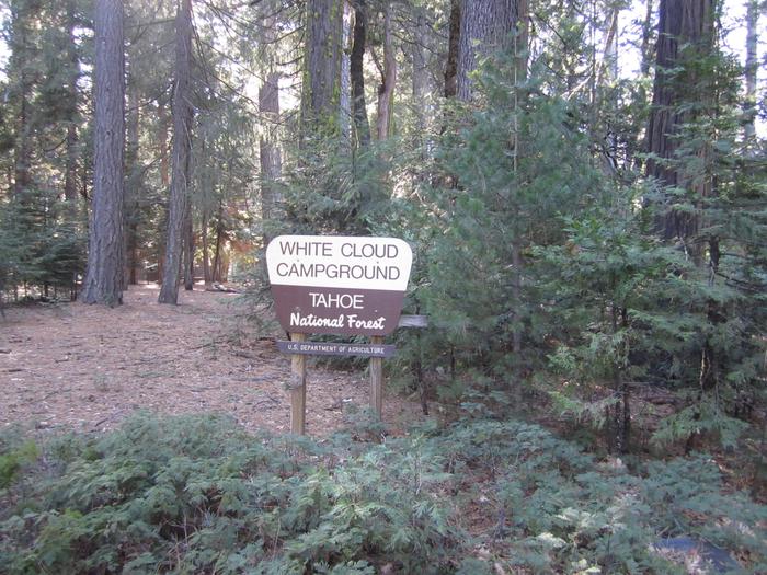
From Nevada City, travel east on Highway 20 for 10 miles. Turn right at the White Cloud Campground sign and then the first right into the campground. From Interstate 80 take exit 161, Highway 20 to Nevada City and drive 26 miles west toward Nevada City. Turn left at the White Cloud Campground sign and then the first right into the campground.
Phone
530-478-6253
Activities
CAMPING, HIKING, MOUNTAIN BIKING, SCENIC DRIVE
Keywords
WHIC,TAHOE NF – FS
Related Link(s)
California State Road Conditions
Overview
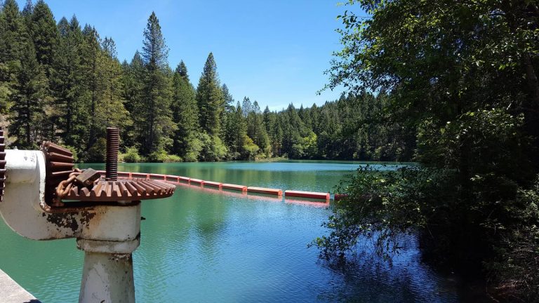
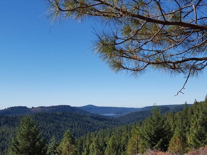
White Cloud Campground is located in the Tahoe National Forest along Highway 20 near Nevada City. The area provides a great escape from urban life.
Recreation
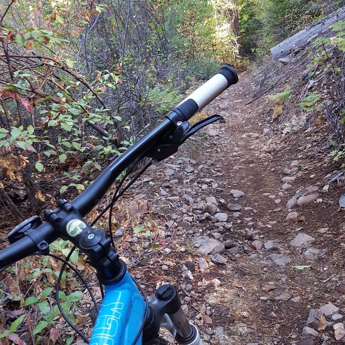
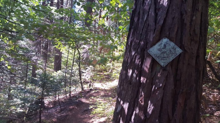
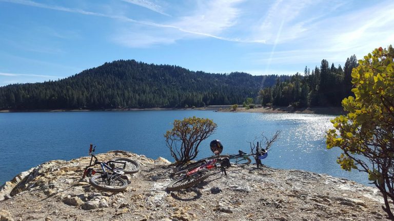
The Pioneer Trail stretches 25 miles through the Tahoe National Forest and can be accessed from the campground. The popular path was designated a National Recreation Trail in 2003. Horseback riding, hiking, mountain biking and cross-country skiing are favorite activities on this popular trail.
Facilities
The campground offers several single-family sites, a few of which are designated for tent camping only as well as one double site. Each site is equipped with a picnic table and campfire ring. Flush toilets and drinking water are provided.
Natural Features
The campground is situated in a forest of cedar, pine, and Douglas fir trees, at an elevation of 4,200 feet.
Nearby Attractions
White Cloud Campground is located on the Highway 20 portion of the Yuba Donner Scenic Byway near many gold rush era historical sites and old mining towns such as Washington and Nevada City. Nevada City, about 14 miles west, is a scenic historical mining town with many historical attractions, top notch restaraunts, various lodging options, shopping, and stores for everything you may need. Other attractions include the Pioneer Trail, South Yuba River, Washintong Scenic Overlook, Alpha and Omega Scenic Overlook and Interpretive Trail, Rock Creek Nature Trail, Chalk Bluff OHV trails, and Grouse Ridge Non-Motorized Area.

