Directions
Site is about 2 miles east of Estes Park, Colorado.
Phone
970-586-8176
Activities
BIKING, BOATING, FISHING, HIKING, PICNICKING, WATER SPORTS, WILDLIFE VIEWING, PLAYGROUND PARK SPECIALIZED SPORT SITE, OTHER RECREATION CONCESSION SITE
Camping Reservations
Reserve your campsite at these camping areas:
Hiking Trails
Looking for nice hiking areas to take a hike? Choose from these scenic hiking trails:
Related Link(s)
More Colorado Recreation Areas
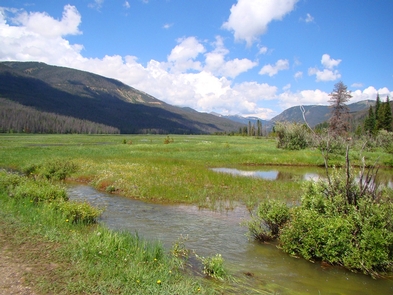
Lake Estes, a feature of the Colorado-Big Thompson Project, is formed by Olympus Dam constructed across the Big Thompson River. The afterbay storage in Lake Estes and the forebay storage in Marys Lake enable the Estes powerplant to meet daily variations in energy demand. Recreation facilities include a nine-hole golf course, five picnic and associated day-use areas, and a marina. Good access to recreation areas. The reservoir has approximately 185 water surface acres, 213 land acres and 4 milesof shoreline. Power boating is limited, but available. Sailing opportunities. Fish species available are largely rainbow trout. Facilities are closed in winter due to ice and snow.


