Directions
From Tallahassee, FL, 42 mi W on US 90 to Chattahoochee, FL, to North on Decatur Street 1 mi. Decatur Street becomes Booster Club Road, the dam and visitor center are on the left (2382 Booster Club Road).
Phone
(229) 662-2001
Activities
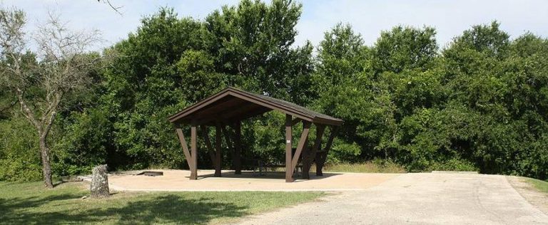
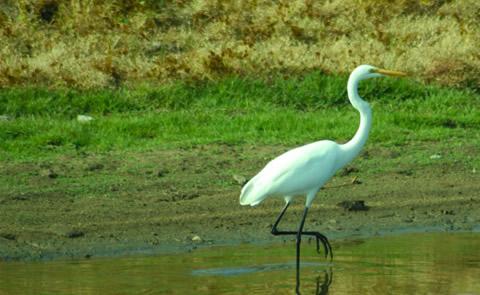
BIKING, BOATING, CAMPING, FISHING, HIKING, PICNICKING, WATER SPORTS, WILDLIFE VIEWING, PLAYGROUND PARK SPECIALIZED SPORT SITE, OTHER RECREATION CONCESSION SITE, HOTEL/LODGE/RESORT PRIVATELY OWNED, ENVIRONMENTAL EDUCATION
Camping Reservations
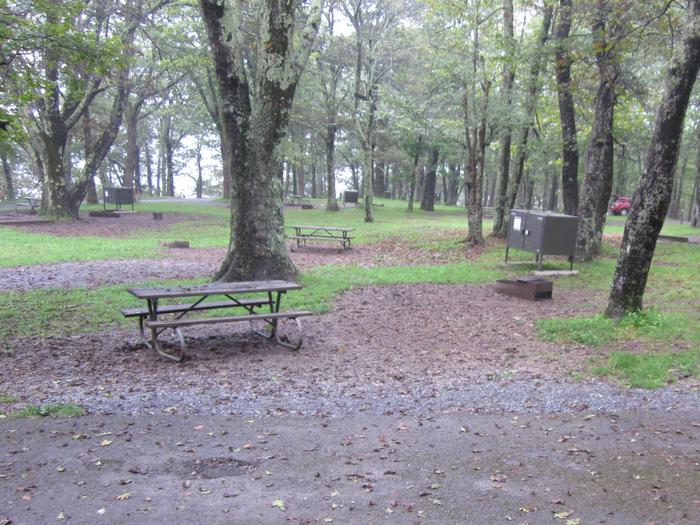
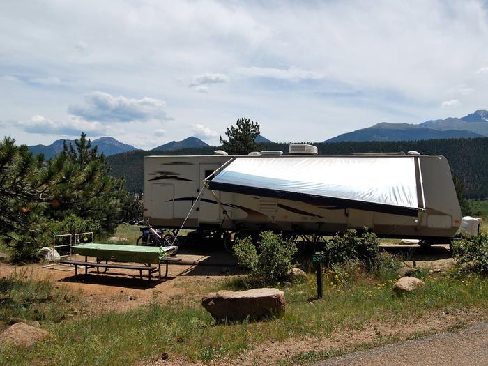
Reserve your campsite at these camping areas:
Hiking Trails
Looking for nice hiking areas to take a hike? Choose from these scenic hiking trails:
Butlers Ferry (Trails End Marina)
Related Link(s)
The Lake Seminole project, originally authorized as the Jim Woodruff Lock & Dam Project by the River and Harbor Act of 1946, was the first of three locks and dams constructed for navigation, hydro-power, recreation and related use purposes on the Apalachicola, Chattahoochee, and Flint River systems. Construction of this muti-purpose project began in 1947 and was completed in 1957. Lake Seminole borders both Georgia and Florida and has 37,500 acres of water and over 18,000 acres of surrounding land.