Directions
The refuge office and visitor center is located on highway 32, 9 miles north of Harman and six miles south of Davis, West Virginia. Refuge access points are found on Freeland Road, Cortland Road, Old Timberline Road, Camp 70 Road and A-frame Road.
Phone
304-866-3858
Activities
BOATING, INTERPRETIVE PROGRAMS, FISHING, HIKING, HUNTING, VISITOR CENTER, WILDLIFE VIEWING, ENVIRONMENTAL EDUCATION, PHOTOGRAPHY
Camping Reservations
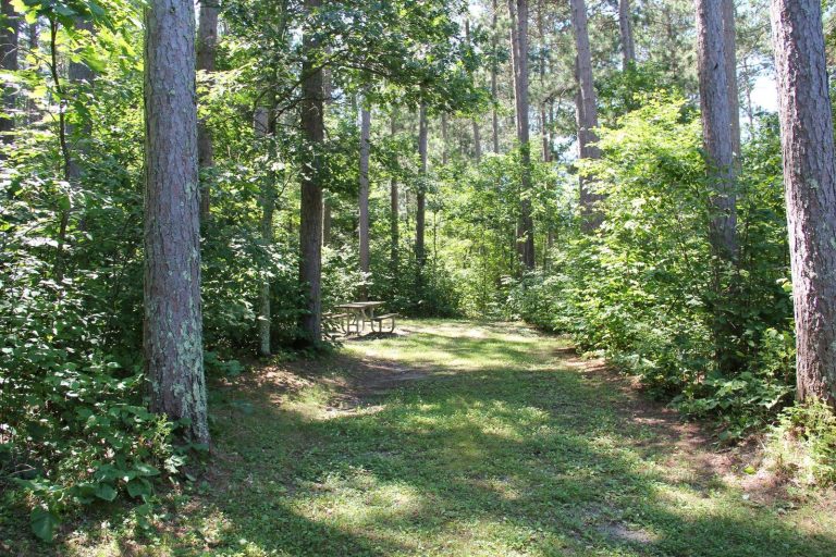
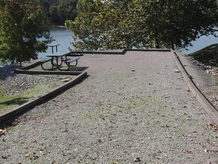
Reserve your campsite at these camping areas:
Hiking Trails
Looking for nice hiking areas to take a hike? Choose from these scenic hiking trails:
Related Link(s)
More West Virginia Recreation Areas
Canaan Valley National Wildlife Refuge
Canaan Valley, at an altitude of 3,200 feet, is 14 miles long and 3 miles wide, and the highest valley of its size east of the Rocky Mountains. Climate and habitats are typical of areas much further north, and the plants and animals are unusual for the latitude. Many Valley species are at or near the southernmost edge of their ranges. Drained by the Blackwater River and its tributaries, Canaan Valley contains the largest freshwater wetland area in West Virginia and the central and southern Appalachians.
Canaan Valley NWR is located in Tucker County, West Virginia and was established in 1994 to preserve the unique wetlands and uplands of this high elevation, moist valley. Currently, the refuge consists of 15,245 acres. An additional 10, 214 acres are within its acquisition boundary. The acquisition boundary encompasses most of the wetlands and unique habitats of the valley. Acquisition will continue, dependent on willing sellers and availability of funds.


