Directions
Phone
(928) 348-4400
Activities
CLIMBING, CAMPING, HIKING, WILDLIFE VIEWING, WILDERNESS
Camping Reservations
Reserve your campsite at these camping areas:
Hiking Trails
Looking for nice hiking areas to take a hike? Choose from these scenic hiking trails:
Related Link(s)
Dos Cabezas Mountains Wilderness
Dos Cabezas Mountains Wilderness
Dos Cabezas Mountains Wilderness Map
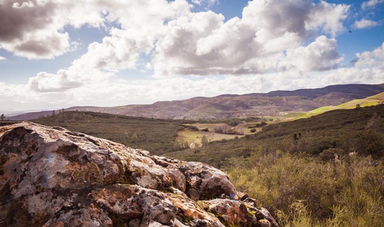
The Dos Cabezas Mountains Wilderness (11,700 acres) in Arizona is managed by the Bureau of Land Management. In 1990, the Dos Cabezas Mountains Wilderness became part of the now over 109 million acre National Wilderness Preservation System established by the Wilderness Act of 1964. In wilderness, you can enjoy challenging recreational activities and extraordinary opportunities for solitude. Please follow the regulations in place for this area, and use Leave No Trace techniques when visiting to ensure protection of its unique natural and experiential qualities. Motorized equipment and equipment used for mechanical transport are generally prohibited on all federal lands designated as wilderness. This includes the use of motor vehicles (including OHVs), motorboats, bicycles, hang gliders, wagons, carts, portage wheels, and the landing of aircraft including helicopters Contact the agency for more information about regulations. Some lands adjacent to the wilderness are not federally administered. Please respect the property rights of the owners and do not cross or use these lands without their permission.


