Directions
Charles M. Russell NWR is located about 150 miles northeast of Billings, Montana. The headquarters for the Refuge Complex is located in Lewistown. From Great Falls, follow U.S. Highway 87 east for 100 miles to Lewistown. Turn right onto Airport Road. From Billings, follow U.S. Highway 87 north to Grass Range and then west to Lewistown for 130 miles. Turn left onto Airport Road. The Refuge headquarters is located about 1 mile up the road to the left. Three staffed field stations are located around the Refuge. Sand Creek Wildlife Station is located 2 miles south of the Missouri River on the east side of U.S. Highway 191. Jordan Wildlife Station is located south of Montana Highway 200 in the town of Jordan. Fort Peck Wildlife Station is located east of Montana Highway 24 in the town of Fort Peck.
Phone
406-538-8706
Activities
WILDERNESS
Camping Reservations
Reserve your campsite at these camping areas:
Hiking Trails
Looking for nice hiking areas to take a hike? Choose from these scenic hiking trails:
Related Link(s)
The UL Bend Wilderness now contains a total of 20,819 acres and is managed by the Fish & Wildlife Service’s Charles M. Russell National Wildlife Refuge Complex. All of the Wilderness is in the state of Montana. In 1976 the UL Bend Wilderness became part of the now over 110 million acre National Wilderness Preservation System.
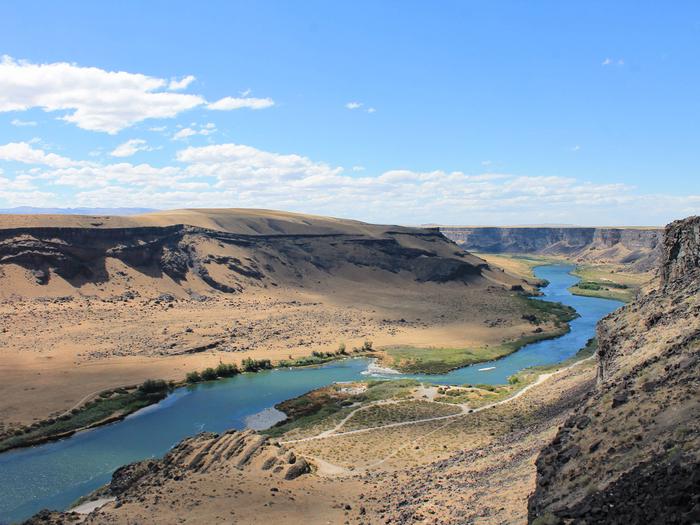
For approximately one million acres and 125 miles up the Fort Peck Reservoir and the Missouri River from the Fort Peck Dam, you’ll find the Charles M. Russell National Wildlife Refuge. This area is characterized by breaks (badlands), steep-sided forested coulees, prairie grasslands, cottonwood river bottoms, and an abundance of wildlife: elk, mule deer, white-tailed deer, pronghorn antelope, bighorn sheep, coyotes, badgers, bobcats, Canada geese, grouse, and a wide variety of raptors. Prairie dogs have established “towns” here, complex systems of interconnected burrows that cover thousands of acres. Tyrannosaurus rex once hunted these grounds, and in many areas of the refuge little has changed since those forgotten days.
Some of the remotest regions of the refuge are seldom seen and virtually unexplored by humans. Foremost among those regions is UL Bend Wilderness, which is a part of the UL Bend National Wildlife Refuge that is in turn swallowed by the vast Charles M. Russell National Wildlife Refuge (CMRNWR). You’ll find UL Bend north of a tight U-shaped bend in the Missouri River in the western section of the CMRNWR. The Wilderness is divided into four units: three small northern units and the large southern unit that borders the river. The area is almost entirely open grassland and sagebrush, without water and exposed to the whimsy of prairie winds. There are no maintained trails, but hiking and camping within the Wilderness are unrestricted, scenic, and rugged. Horses, hunting, and fishing (in season) are allowed.
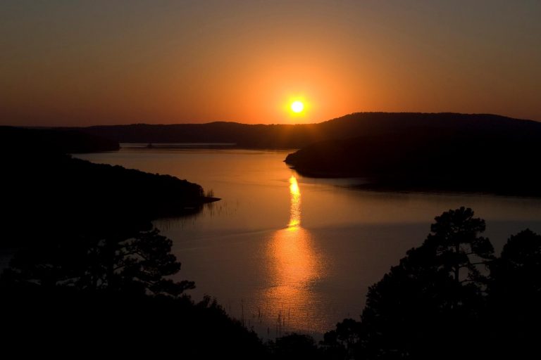
As the Missouri enters the refuge it is designated Wild and Scenic, and many paddlers continue down past the Wilderness on placid waters. High winds may make open areas of water dangerous. You’ll be paddling in the long-gone wake of Lewis and Clark.

