Directions
From U.S. Highway 285, take NM 137/Queens Hwy (12 miles northwest of Carlsbad, 23.5 miles south of Artesia) southwest approximately 36 miles to Queen, NM. Continue about 3 miles past Queen and turn left, heading southeast on Forest Road 540 (County Road 412/Guadalupe Ridge Road), and drive for about Ѕ mile, and veer right to continue on Forest Rd 540 for 3ѕ miles. Turn left on Forest Road 69 (Klondike Gap Road), drive for 2ј miles, and turn right on Forest Road 69A, just after Road 69 starts heading northwest; continue another 2ј miles to the Dark Canyon Lookout. Turn right (southwest) on Forest Road 201 (4 wheel drive required at this point). Drive or hike for just over 2Ѕ miles southeast to Forest Road 3010 and turn left. Drive approximately 1 mile on Road 3010 to where the Lonesome Ridge Trail begins (this is National Forest land). Hike on the trail for approximately 2 miles to the northern border of the WSA. The trail becomes the Golden Stairway Trail on BLM land and continues another 2 miles through the WSA.
Phone
575-234-5972
Activities
HIKING
Camping Reservations
Reserve your campsite at these camping areas:
Hiking Trails
Looking for nice hiking areas to take a hike? Choose from these scenic hiking trails:
Related Link(s)
More New Mexico Recreation Areas
BLM New Mexico YouTube Channel
BLM New Mexico YouTube Channel
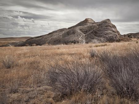
Lonesome Ridge WSA is located in southern New Mexico, about 40 miles southwest of Carlsbad on the eastern side of the Guadalupe Escarpment. The area features stark landscape transitions from Chihuahuan Desert shrubs at the lower elevations to sheer limestone cliffs. The steep, rugged mountains with dramatic rock outcrops are highly scenic. The WSA is contiguous with the Guadalupe Escarpment WSA (managed by the U.S. Forest Service) and Guadalupe Mountains Wilderness (managed by the National Park Service) in Texas.

