CALDWELL FIELDS GROUP CAMPGROUND, Virginia Campground Reservation, Info, Images, Map, Directions

CALDWELL FIELDS GROUP CAMPGROUND, Virginia Campground Images, Info & Reservations

Directions

From Blacksburg (junction of North Main Street and US 460), follow US 460 west for 2.8 miles. Turn right on Craig Creek Road (SR 621), go 8.8 miles. Road turns to gravel after 4 miles. Caldwell Fields are on the right.

Phone

(540) 552-4641

Activities

FISHING, WATER ACTIVITIES

Keywords

3795 Craig Creek Road,Blacksburg VA 24060,CALDWELL FIELDS GROUP CAMPGROUND

Related Link(s)

Rec Area Info & Images

Overview

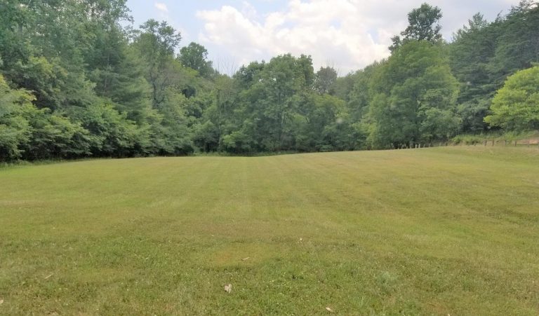
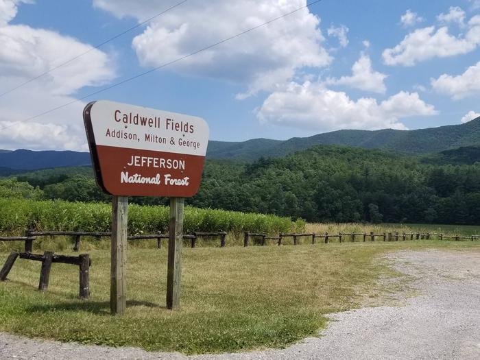
Caldwell Fields Group Campground is actually two separate fields adjacent to each other. George and Milton, each provide group camping and can be reserved together or separately. They are great for groups who prefer old-fashioned, rustic camping who require few amenities.

Recreation

Craig Creek meanders along the edge of the fields where visitors can enjoy splashing and relaxing in its cool waters. The creek is also stocked with trout, providing good fishing opportunities for visitors.

Facilities

Caldwell Fields provides two fields that may be rented separately or together. Each field can accommodate a group of 50 or less people with space for up to 20 vehicles. Groups may choose to rent them together accommodating a group of up to 100 people and 40 vehicles total. Each field has an entrance gate, and they share a vault toilet. There is no potable water, no hookups and no trash collection. State Highway 621 to Caldwell Fields is unpaved.

Natural Features

Located in a narrow valley and flanked by National Forest lands, the two large grassy fields are bordered by large shade trees.

Nearby Attractions

Caldwell Fields is located 20 minutes from Blacksburg, VA, home of the Virginia Tech Hokies.

Reservation

More from CampingHiking.net:

FLAT CANYON, Utah Campground Images, Info & Reservations

Directions From Fairview, Utah, travel east on Highway 31 to Highway 264, then continue east on Highway 264 for four miles. Phone (435)283-4151 Activities BIKING, BOATING, CAMPING, FISHING, HIKING Keywords FLAC,MANTI-LASAL NF -FS Related Link(s) Rec Area Info & Images Utah State Tourism Utah State Road Conditions Overview Flat Canyon

DEFEATED CREEK PARK, Tennessee Campground Images, Info & Reservations

Directions From Carthage, Tennessee, take SR-25 west for 4 miles. Turn north on SR-80, then east on SR-85. Follow signs to campground. Phone 615-774-3141 Activities BIKING, BOATING, CAMPING, INTERPRETIVE PROGRAMS, FISHING, HIKING, WILDERNESS, SWIMMING SITE, ENVIRONMENTAL EDUCATION, PHOTOGRAPHY, PADDLING, SWIMMING, PADDLE BOATING, WATER ACTIVITIES, KAYAKING, STAR GAZING, WATER ACCESS, WATER

BLACK MOUNTAIN LOOKOUT, California Campground Images, Info & Reservations

Directions Access to the lookout is by a dirt road; high clearance vehicles are recommended. Visitors should be aware that access is subject to inclement weather during the early and late season. Black Mountain Lookout is located on the eastern edge of the Beckwourth Ranger District, 10 miles from Highway

SULOIA LAKE CABIN, Alaska Campground Images, Info & Reservations

Directions Accessible generally from late April through mid November. Located 30 air miles northwest of Sitka on Chichagof Island (within West Chichagof-Yakobi Wilderness Area). Access by floatplane takes about 20 minutes from Sitka. For geographic features surrounding cabin, refer to USGS topographic map Sitka B-6. Phone 907-747-6671 Activities BOATING, CAMPING,

HORSESHOE POINT, Virginia Campground Images, Info & Reservations

Directions From HWY 220, turn onto Henry Road (SR-605) and go 8 miles. Turn left onto Horseshoe Point Road and follow signs to the park. Phone (540) 365-7385 Activities BOATING, CAMPING, SWIMMING SITE Keywords HOPO,Philpott Lake Related Link(s) Rec Area Info & Images Virginia State Road Conditions Virginia State Tourism

Anthony Lake, Oregon Campground Images, Info & Reservations

Directions From Baker City, head north on Highway 30 toward Haines, approximately 10 miles. In Haines, turn left and follow the Anthony Lake Highway signs (turns into Forest Road 73) for 25 miles to the Anthony Lake Recreation Area. Turn left into the Anthony Lake Campground. The main campground is