
Directions
From Blue River, travel 3 miles east on Hwy 126. Turn left on FS 15 Road. Go 4 miles to Lookout Boating Site & Campground on left.
Phone
541-603-8564
Activities
WATER SPORTS, SWIMMING
Keywords
LOOKOUT BOAT LAUNCH AND CAMPGROUND,WILLAMETTE,LOOKOUT,LOOKOUT CAMPGROUND,LOOKOUT BOATING,BLUE RIVER RESERVOIR
Related Link(s)
Overview
Lookout Boat Launch and Campground is found on Blue River Reservoir. The campground includes a day use picnic area, a boat launch, floating dock, and a day use/overflow parking area. It is located on a beautiful open meadow with plenty of sunshine.
Recreation
Fishing, boating, swimming, and water skiing on Blue River Reservoir draw campers here. There is hiking on Buck Mountain Trail and Lookout Creek Old Growth Trail. Sightseeing is popular on the West Cascades National Scenic Byway.
Facilities
Lookout Campground is popular for group camping, as there are no designated sites. Drinking water, vault toilets, and firewood for sale are provided. There is a host onsite. While the day use parking and boat launch area is paved, the campground side is gravel.
Natural Features
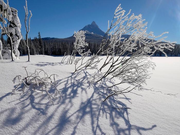
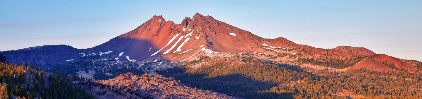
The campground sits on the northeastern shore of Blue River Reservoir and can be accessed by driving the West Cascades National Scenic Byway. It is located in the Willamette National Forest on the western slopes of the Cascade Mountains.
Nearby Attractions
Come for water play or fishing at Blue River Reservoir or for exploring the nearby trails and Scenic Byway. Hot springs are loctated within 10 miles.