
Directions
From Antonito, Colorado, go west on Highway 17 about 15 miles to the campground access road. Turn right and travel 1/4 mile to the Upper Loop Road.
Phone
719-376-2535
Activities
CAMPING
Keywords
MOGO,CONEJOS PEAK RD,15571 COUNTY RD T-5,LA JARA,COLORADO 81140,magotie,magoaty,mogoaty,RIO GRANDE NF- FS
Related Link(s)
Colorado State Road Conditions
Overview
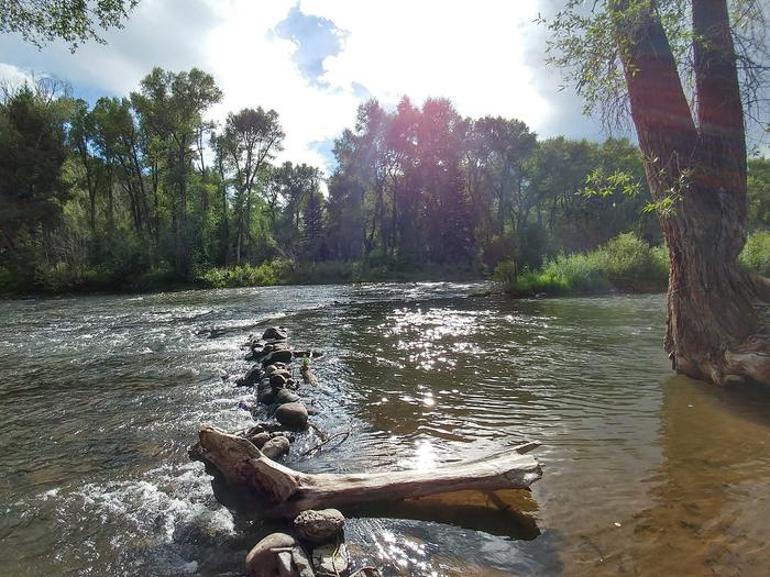
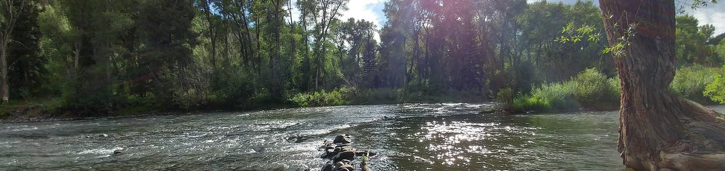
Mogote Campground is located along the Conejos River, making it a perfect location for fishing and hiking. The pleasant campground is well shaded by groves of ponderosa pine and a mixture of cottonwood, spruce, willow and aspen.
The campground is also in close proximity to the Cumbres & Toltec Scenic Railroad, home of America’s highest and longest, coal fired, steam operated narrow-gauge railroad.
Recreation
The Conejos River is a Gold Medal River, offering a high potential for trophy trout fishing. Rainbow and brown trout are the most common species in the river. Popular hikes include the 15-mile Elk Creek Trail and the 10.9-mile South Fork Conejos Trail.
Facilities
Campsites are equipped with picnic tables and campfire rings with grills. Vault toilets, drinking water and trash bins are provided. An accessible toilet is located in the upper loop.
No electric hookups are available. Firewood can be purchased on site.
Natural Features
The campground sits at an elevation of 8,400 feet, and is separated into an upper and lower loop. The lower loop sits along the fast-flowing Conejos River and many sites face the water. The campground is perched in a wooded section along the river valley.
Rio Grande National Forest stretches across 1.86 million acres in south-central Colorado. The forest encompasses a myriad of ecosystems ranging from high elevation desert at 7,600 feet above sea level to rocky crags at over 14,300 feet in the majestic Sangre de Cristo Mountains.
Nearby Attractions
The Cumbres & Toltec Scenic Railroad can be accessed from Antonito. The train makes a 640-mile journey through abandoned mining towns, creating great entertainment for young and old.