
Directions
The campground is located 2 miles north of Flaming Gorge Dam on U.S. Highway 191. Turn west onto Forest Road 695 and travel a mile to the site.
Phone
435-889-3000
Activities
BOATING, CAMPING, FISHING, SWIMMING SITE
Keywords
Dutch John,DUTC,FLAMING GORGE,ASHLEY NF – FS,Flaming Gorge National Recreation Area
Related Link(s)
Overview
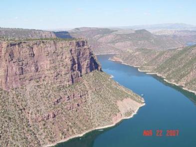
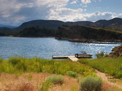
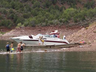
Dutch John Draw Campground is located within a quiet cove on Flaming Gorge Reservoir at an elevation of 6,000 feet. Campers enjoy easy access to boating, water skiing, fishing and swimming.
Recreation
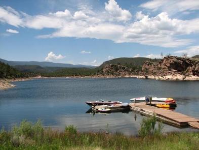
A small boat dock is located on-site and is designated specifically for those camping at Dutch John Draw. A short trail leads to it from the campground, providing easy access to boating, water skiing, canoeing, fishing and swimming on the reservoir.
A boat ramp is available less than 2 miles away at Mustang Ridge.
Facilities
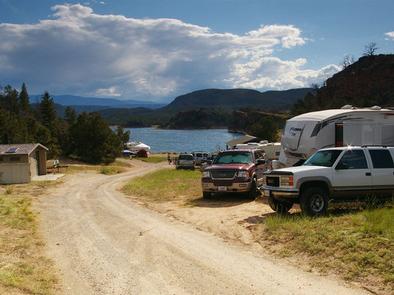
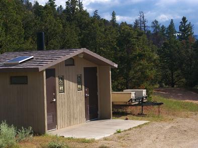
This campground is a group site that can accommodate up to 50 people. Vault toilets and trash collection are provided.
A large picnic shelter with excellent views of the reservoir is located on-site, with picnic tables and a grill. This site is accessed via a well-maintained gravel road; parking spurs within the site are also gravel.
Natural Features
This secluded group site is settled in a quiet cove on Flaming Gorge Reservoir. Pinyon pines dot the landscape but offer little shade. The entire site offers scenic views of the water.
Nearby Attractions
Flaming Gorge Dam offers guided tours of the working hydroelectric plant and the dam, and the adjacent visitor center contains area history exhibits.
The Green River below the dam provides spectacular rafting opportunities. A trip down the river offers unique geology, outlaw history and Native American rock art.